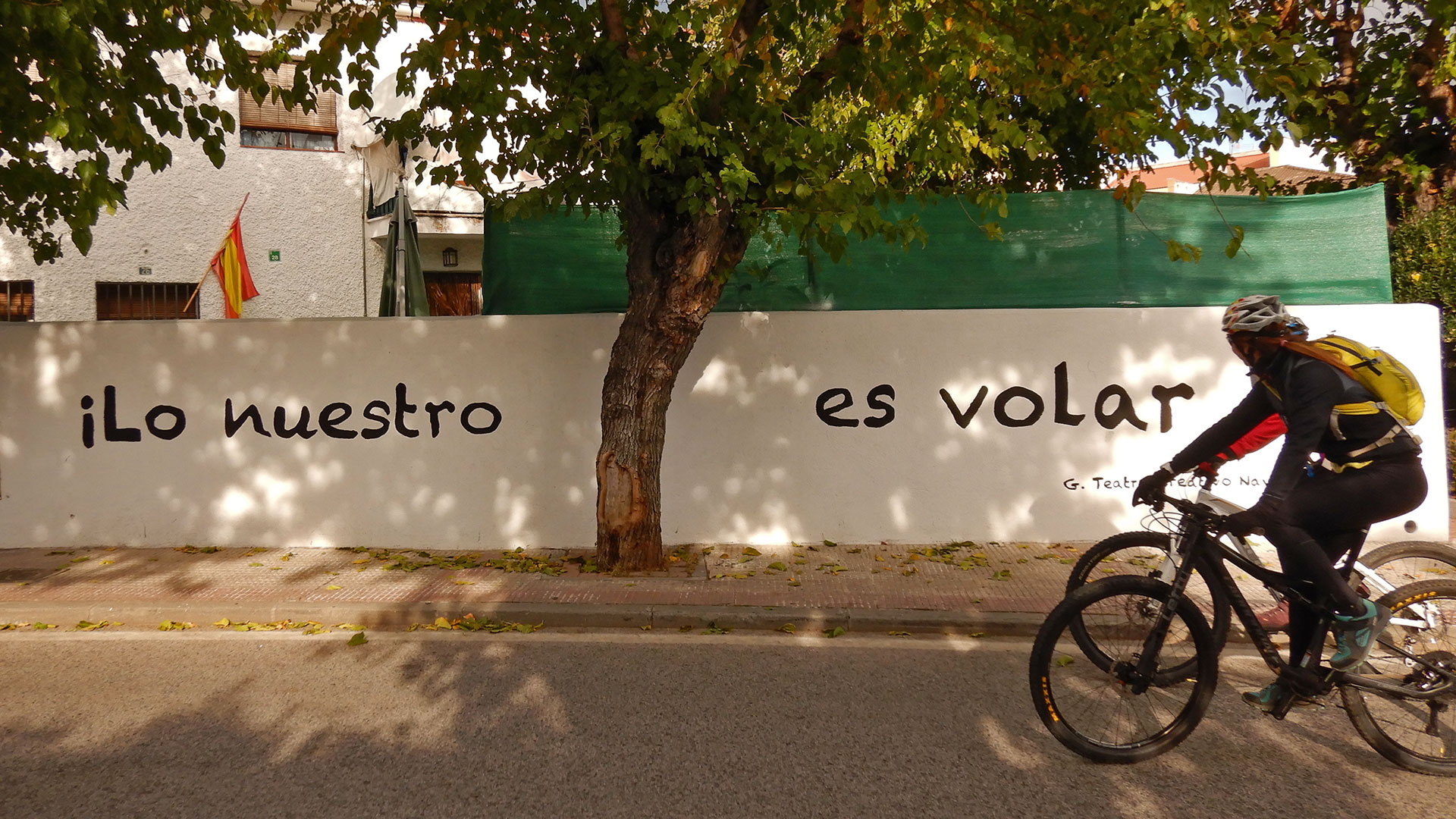
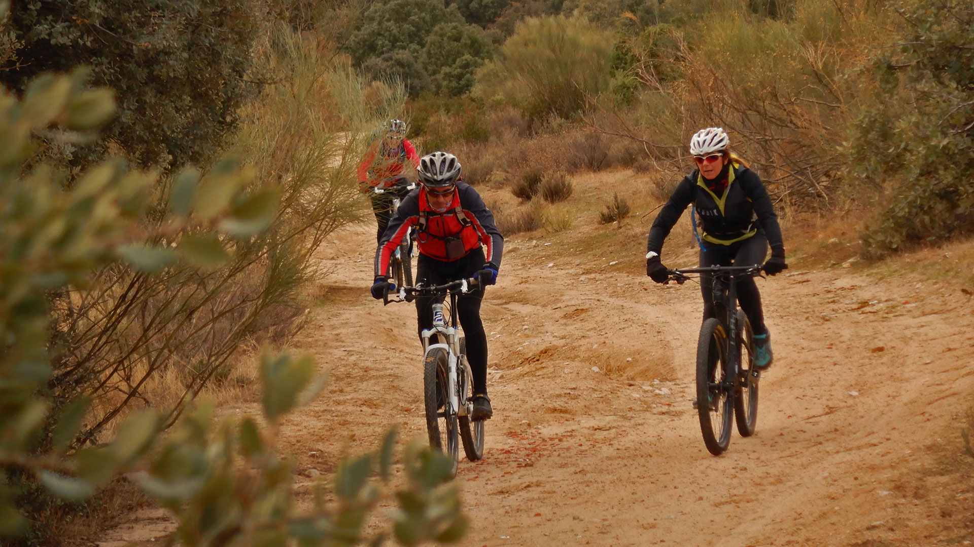
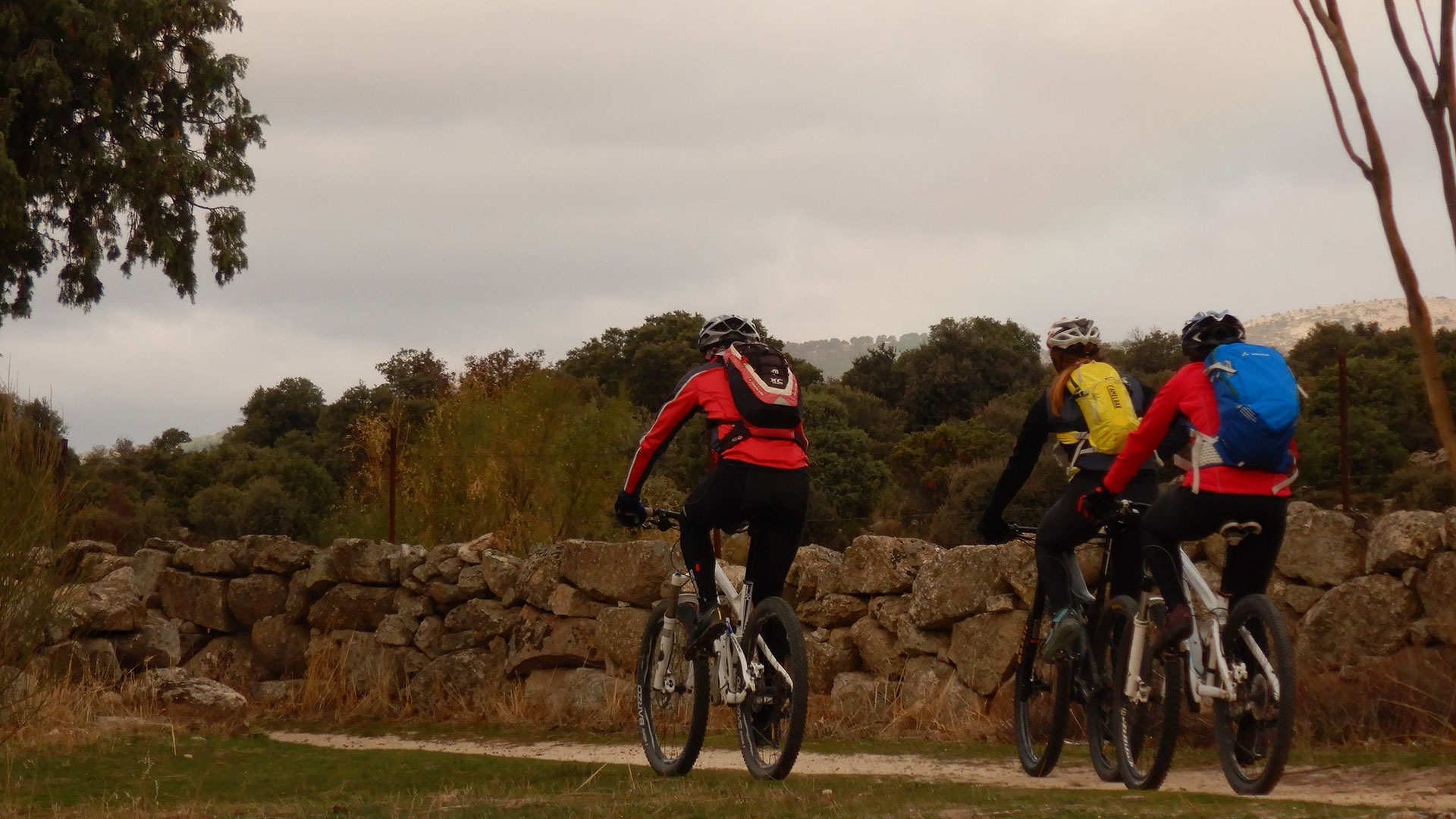
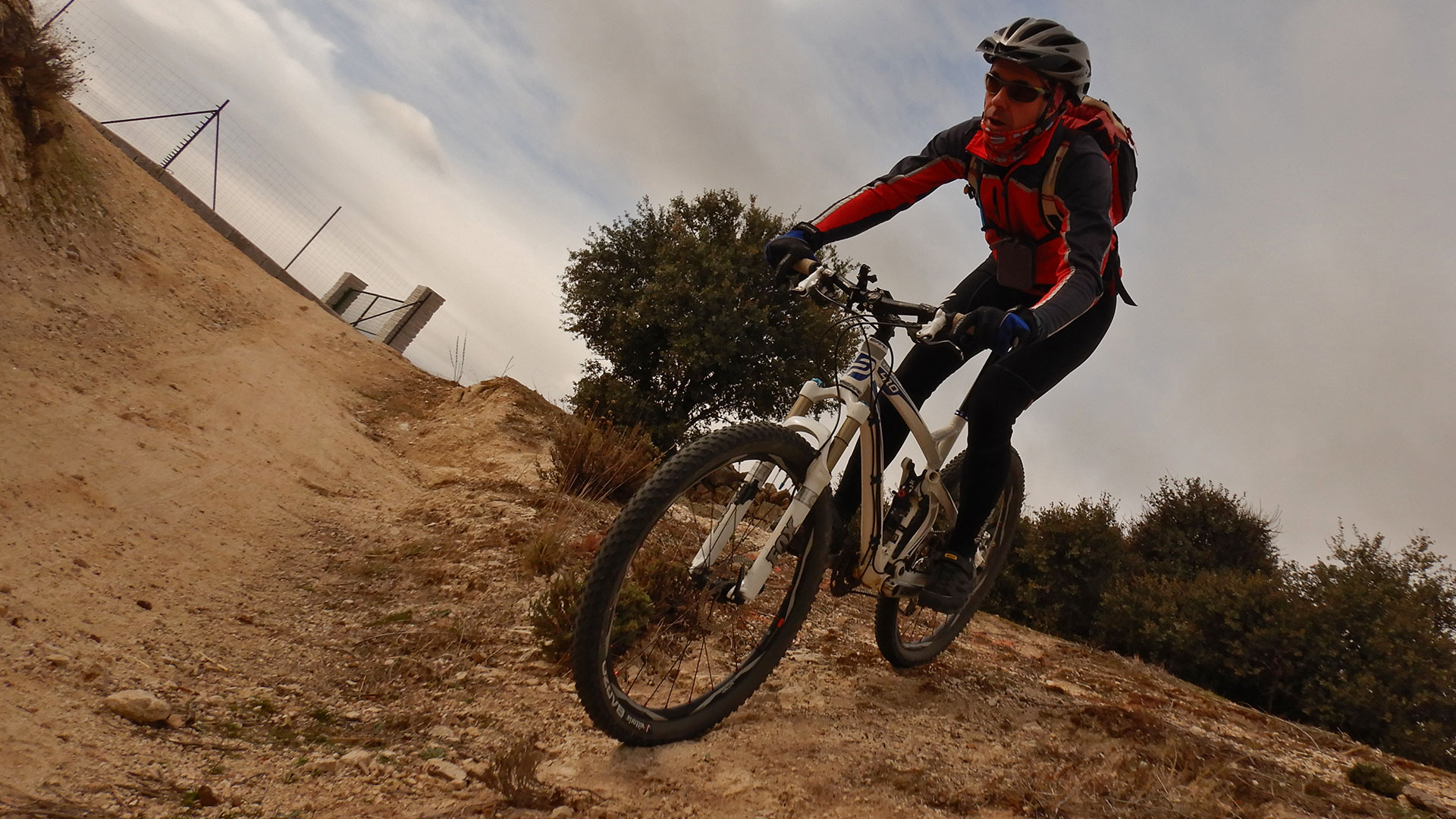
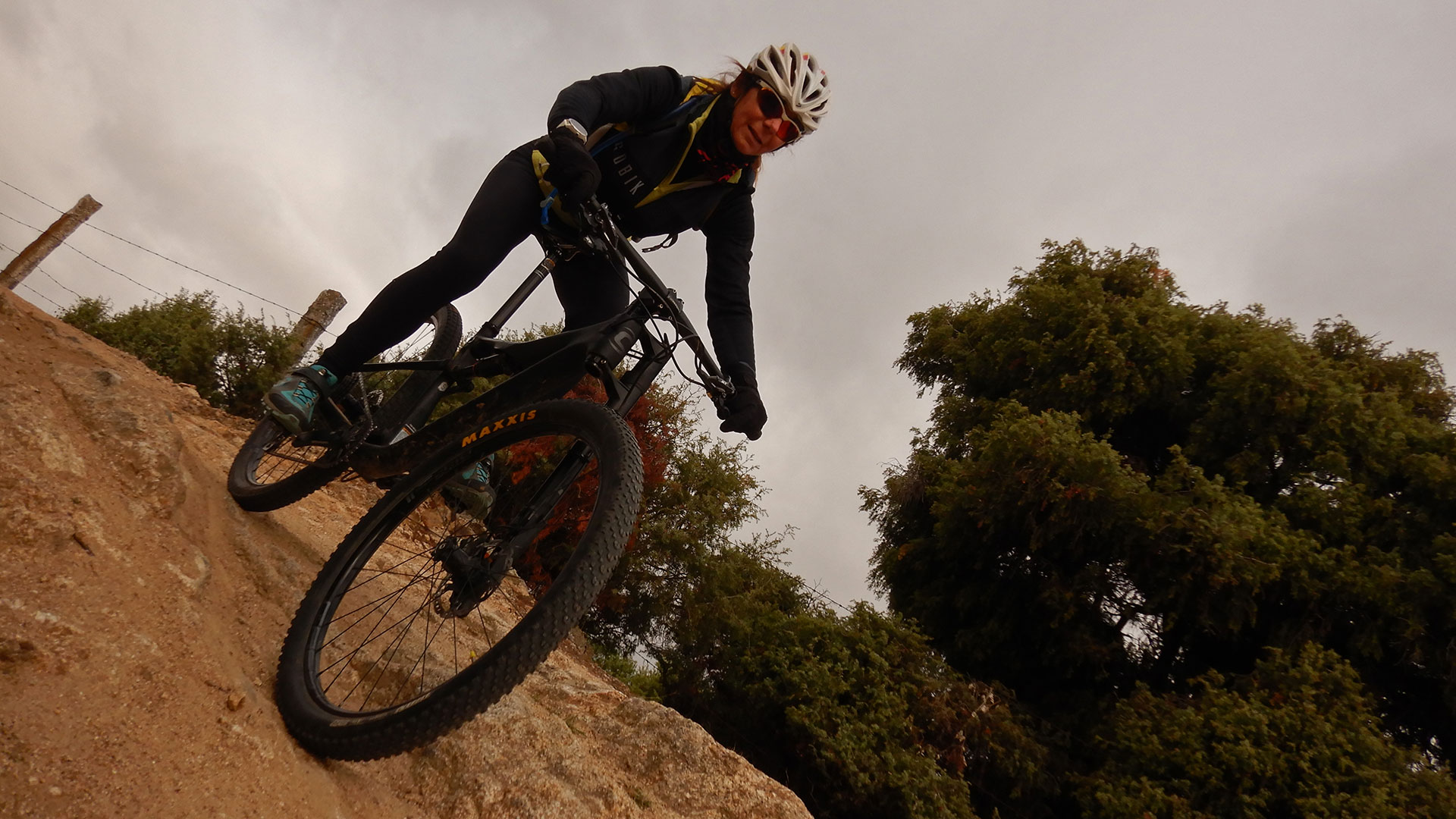
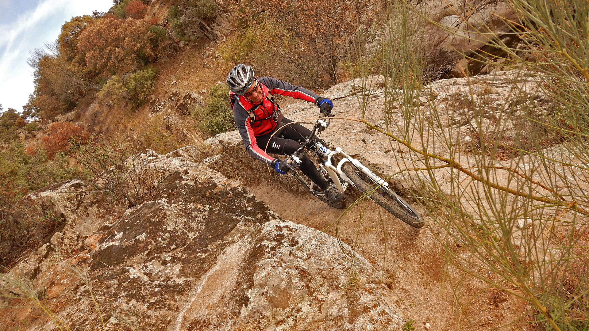
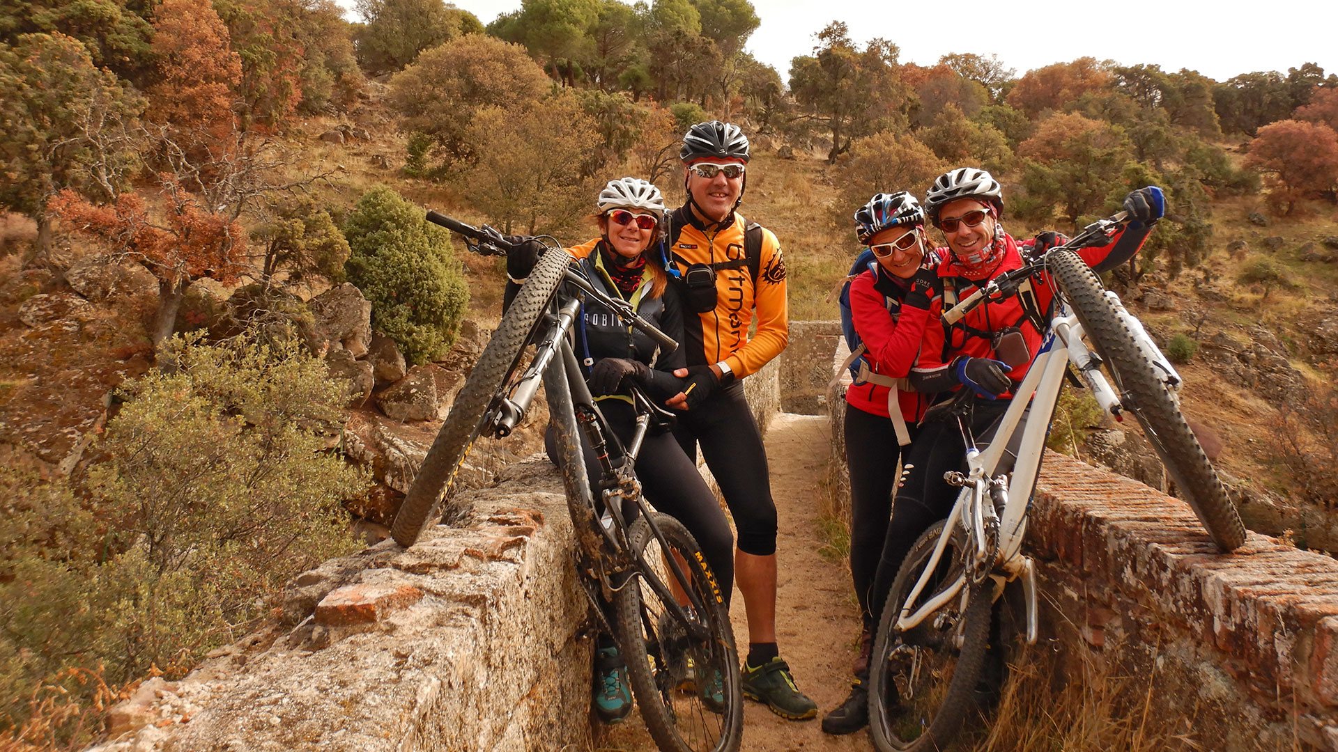
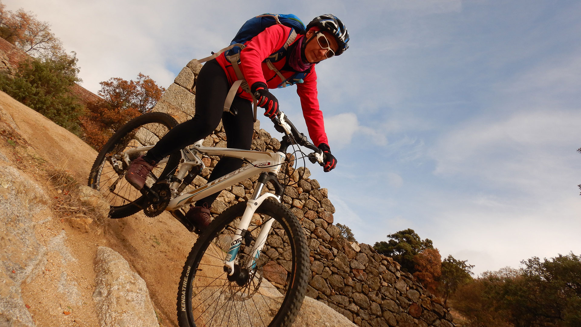
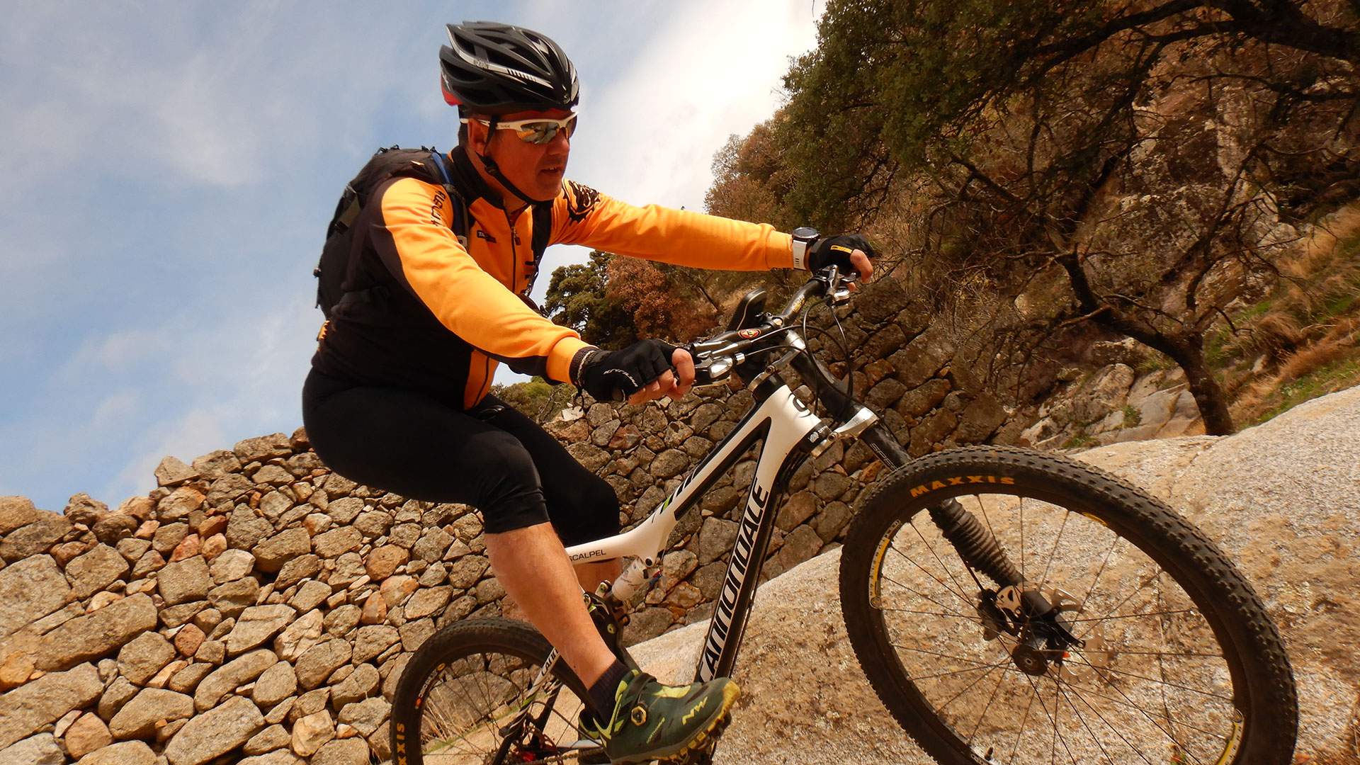
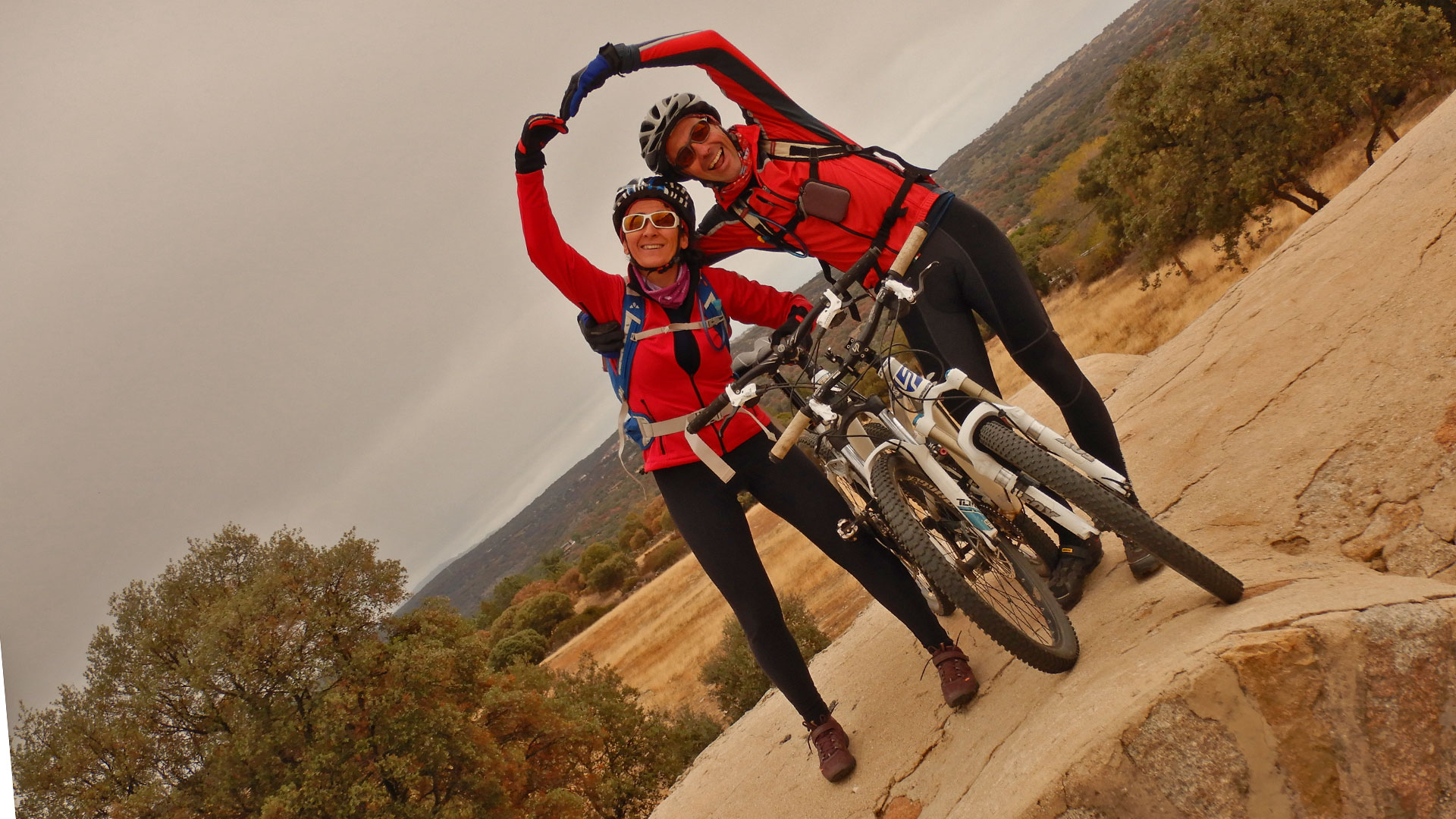
We started from Navalagamella in the Sierra Oeste of Madrid and start pedaling up the Navahonda Road.
In the Navastreta Meadows we turn towards the San Juan Bridge Cordel in the North direction towards Fresnedillas de la Oliva.
At the height of La Moraleja we turn left towards the Finca de Prado Viejo until connecting with the Cañada Real Vereda of the Robledo de Chavela Road. And that takes us to the Vado de los Barrancos Road where we turn right. But we soon abandoned it by turning towards the Cañada Leonesa.
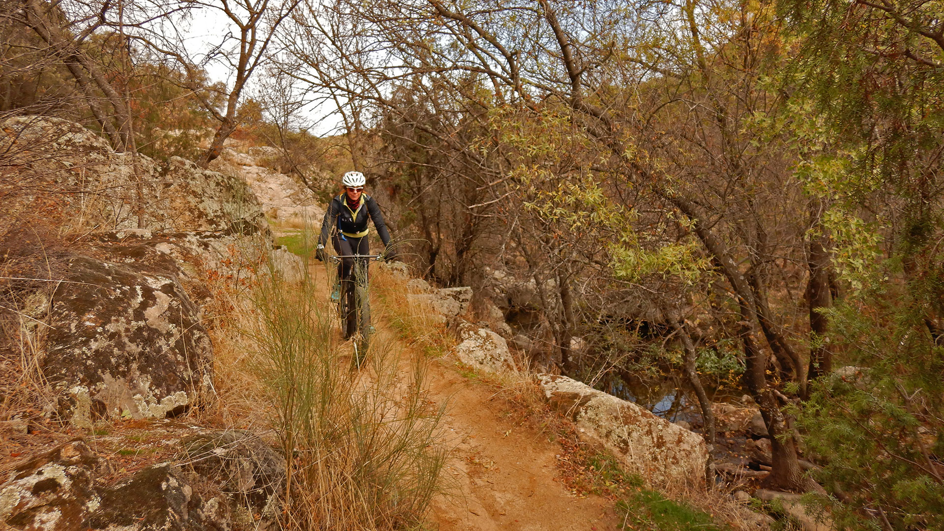
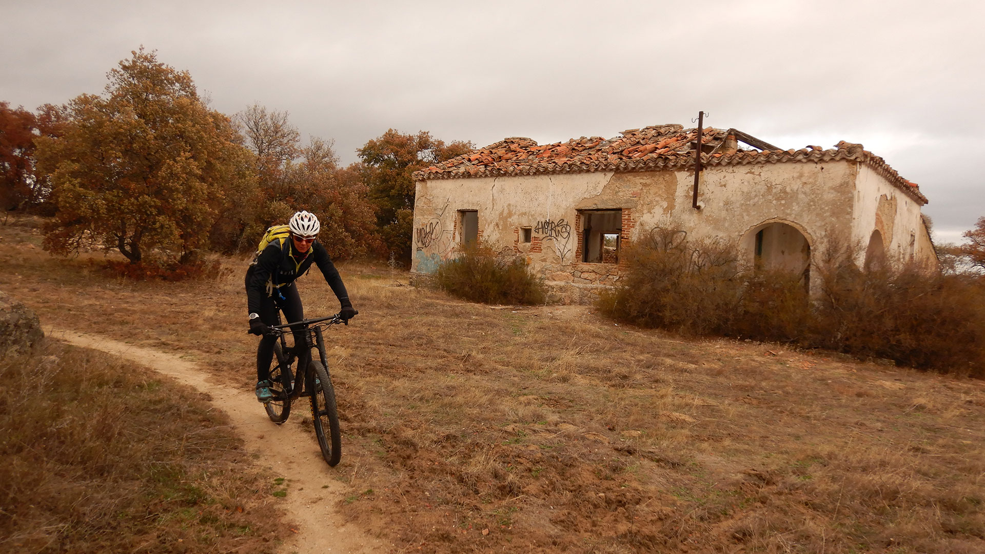
We arrive at the Puente del Hoyo ruins, formerly built on the Perales River. And here we take the Colada trail of the Puente del Hoto, parallel to the Perales River. And when we are almost at the end we recover height to return to make other downhill paths towards the Arroyo del Molino del Hondillo that returns us back to the Perales River.
There is no longer the climb up Albedaran and La Frontera that take us to the Navalagamella Bunkers, Calvary Position raised in the Civil War.
Finally, we return to the starting point and close it with the best stew in the area in Bar-Restaurant Km. 0.
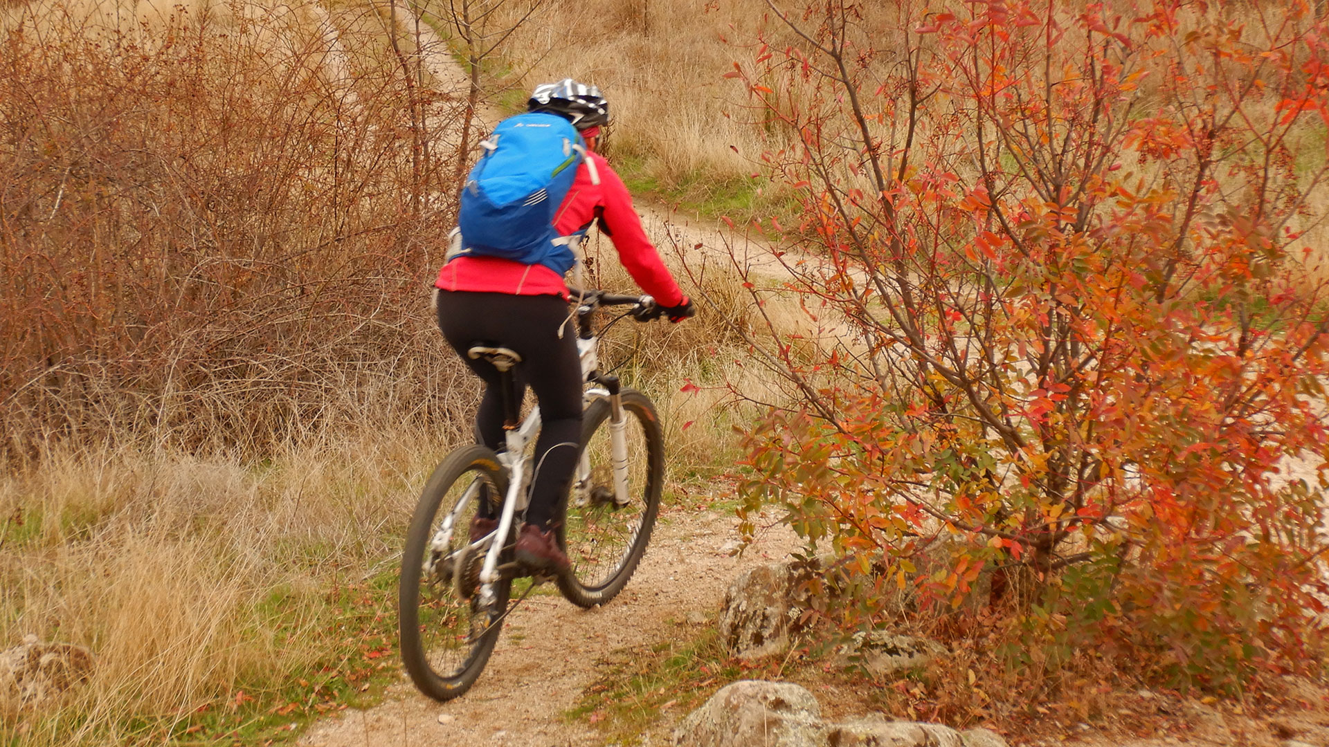
Short, but beautiful, route through the Cañadas Reales and Singletraks in Sierra Oeste of Madrid.
Video
Map
Max elevation: 924 m
Total climbing: 743 m
Total time: 03:04:27

