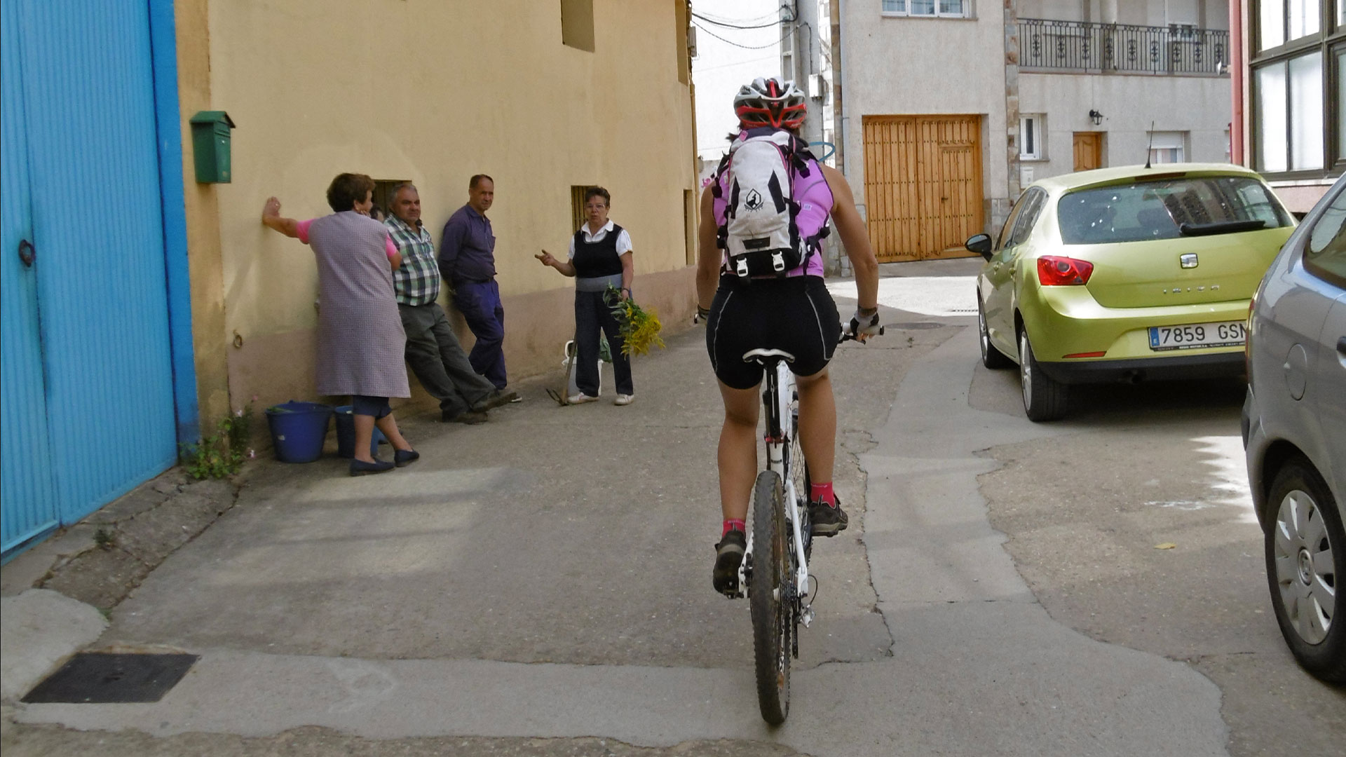
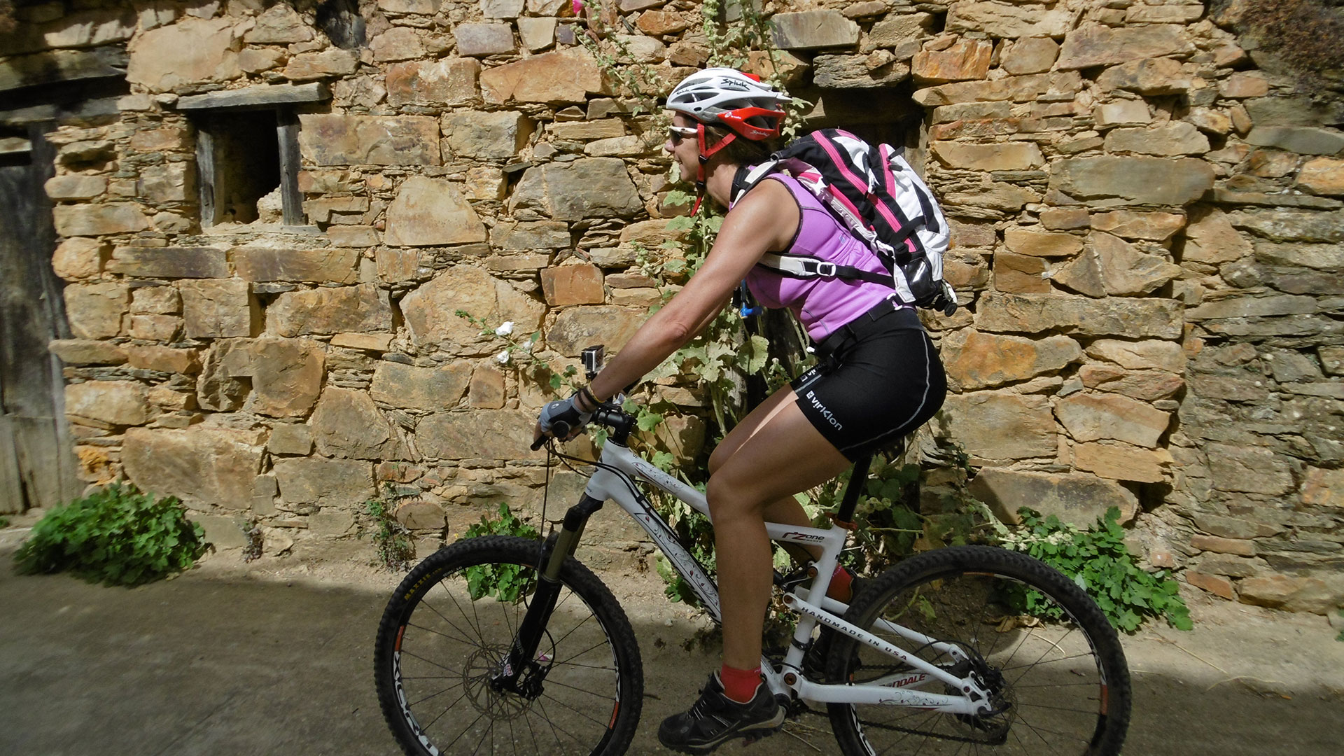
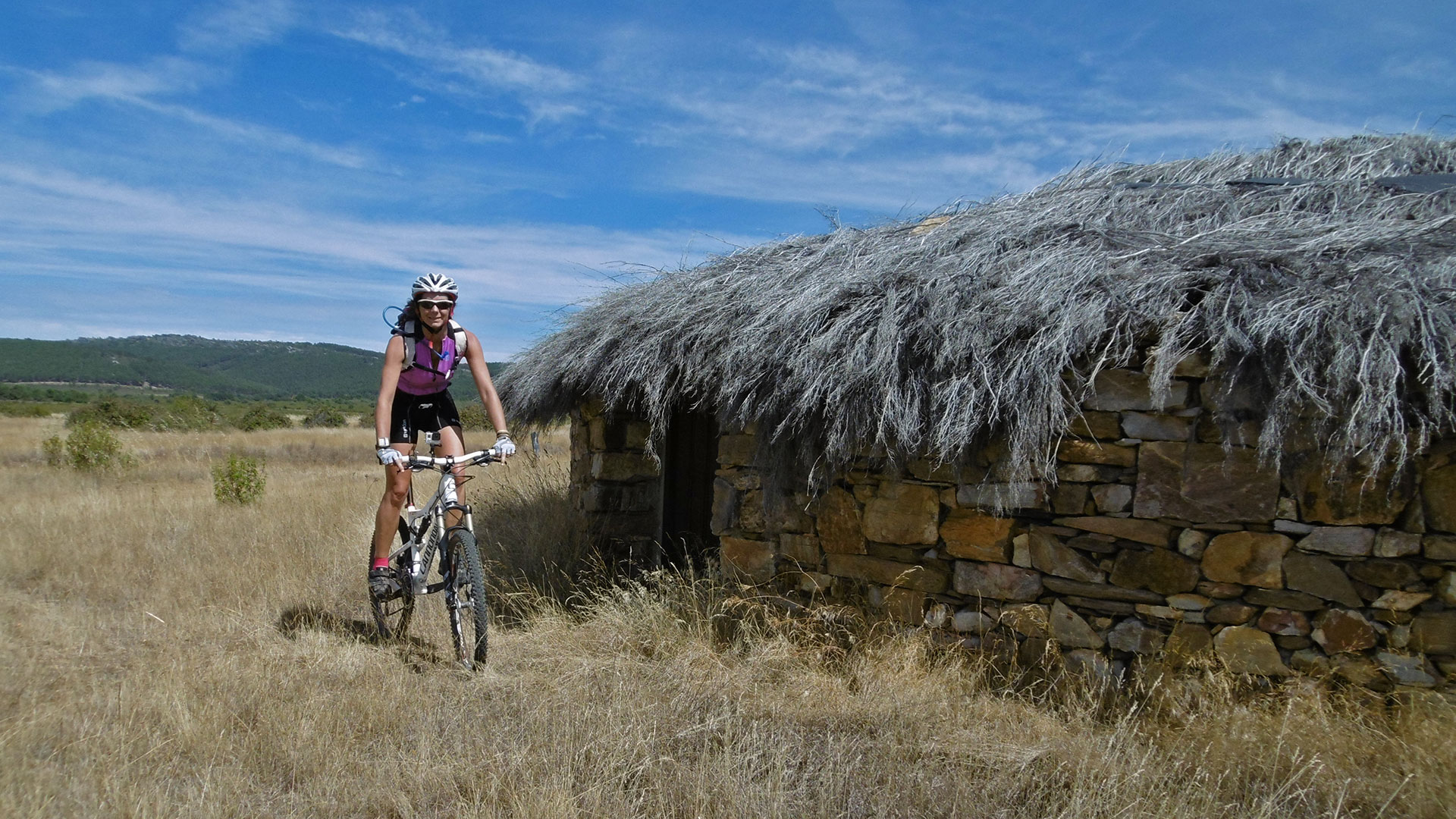
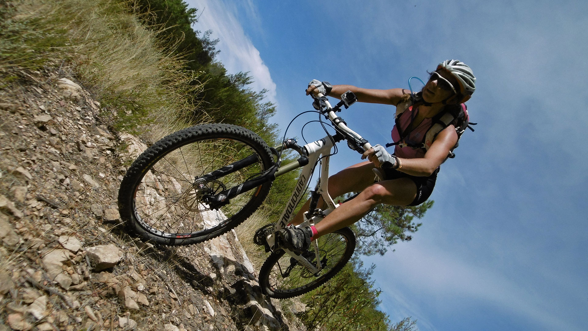
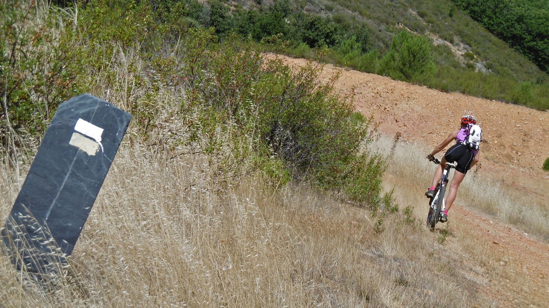
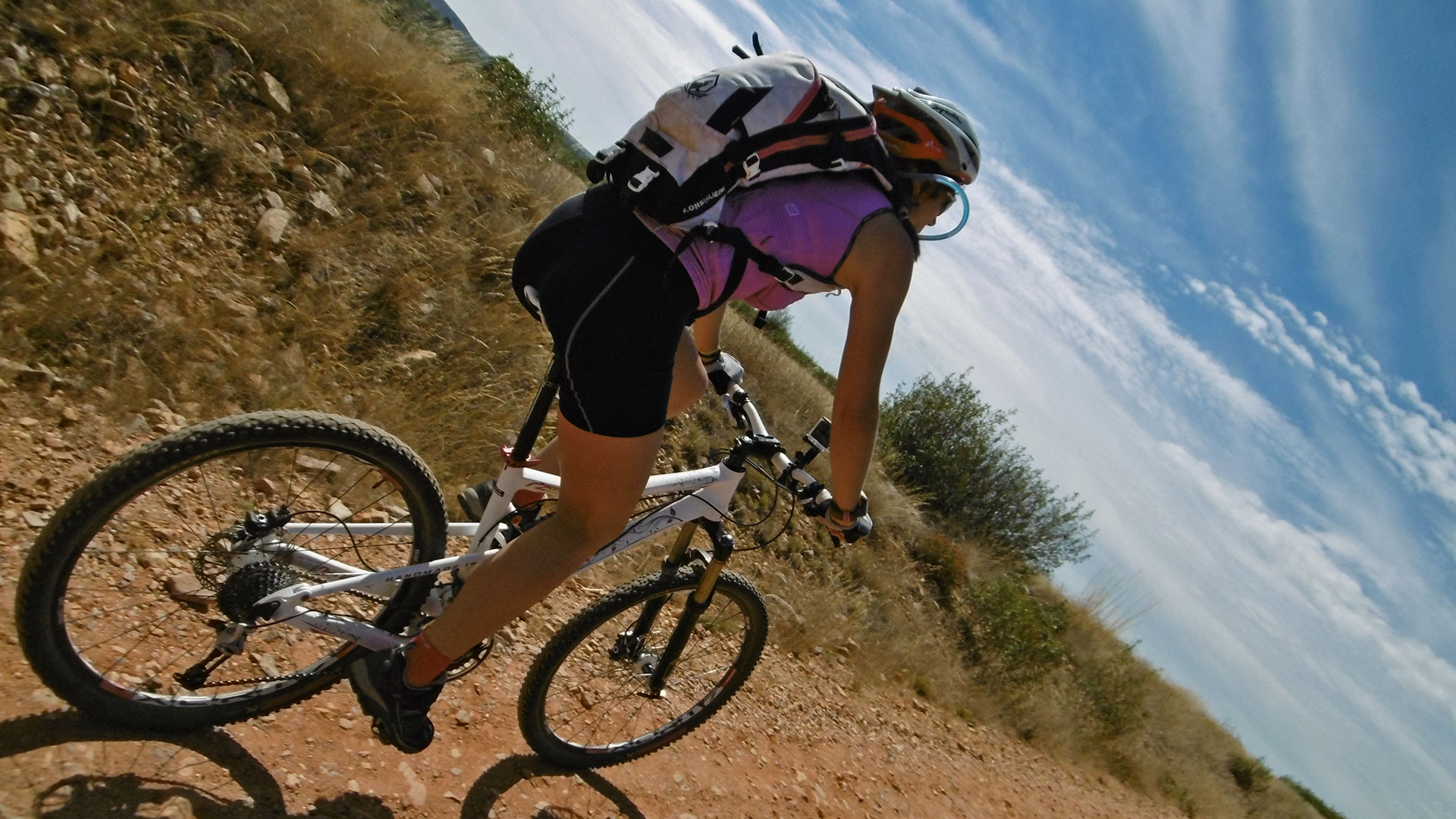
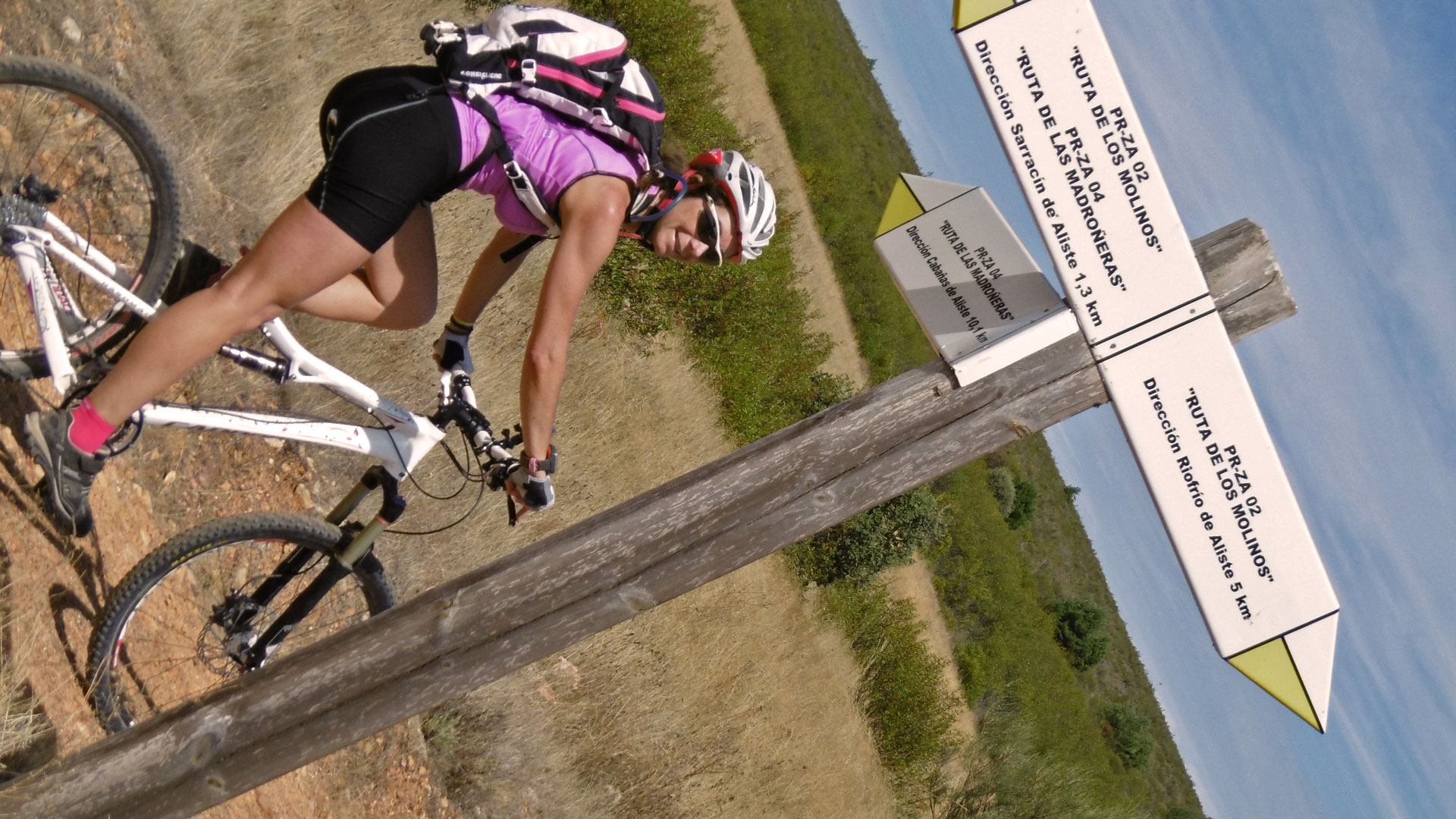
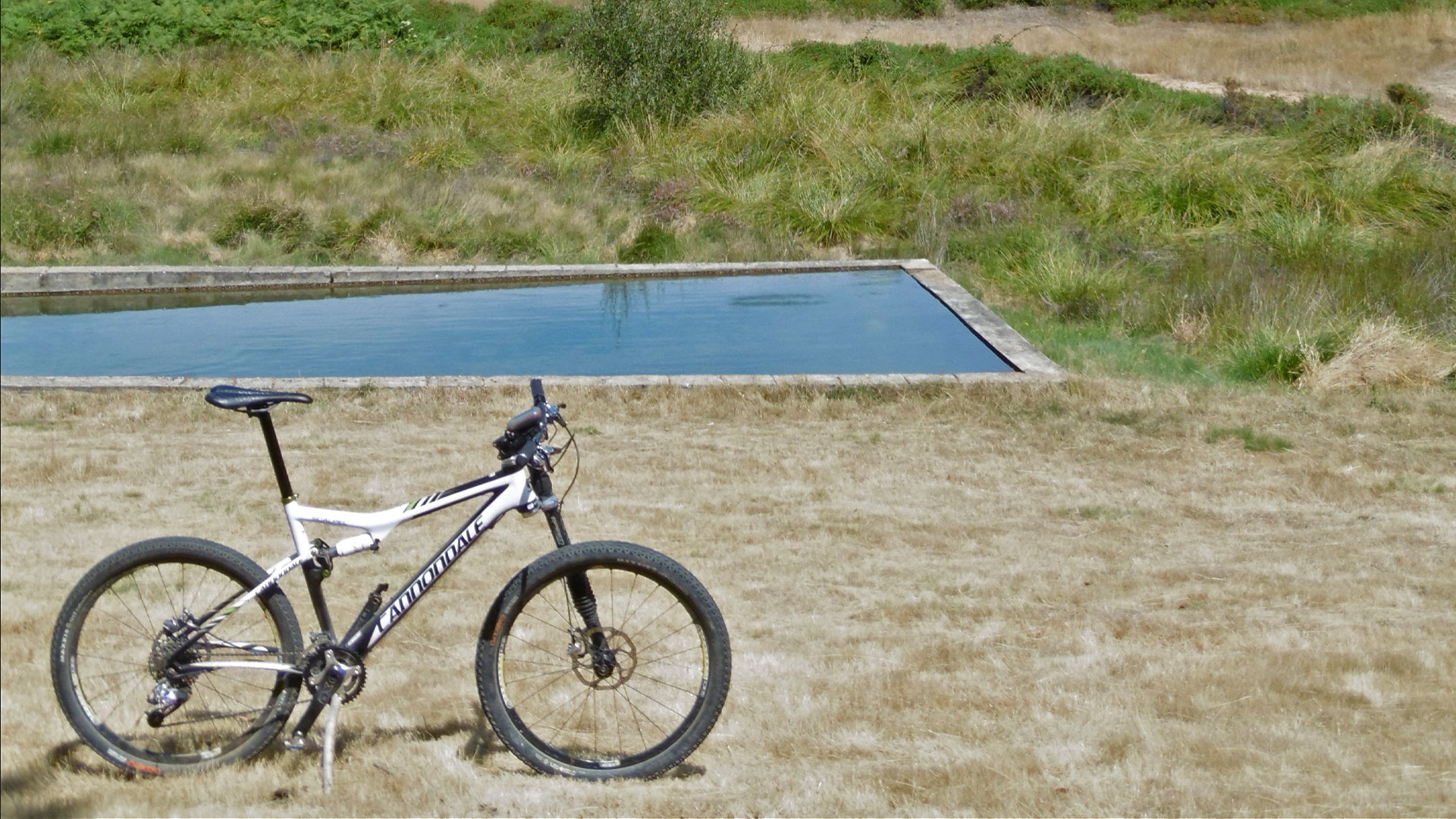
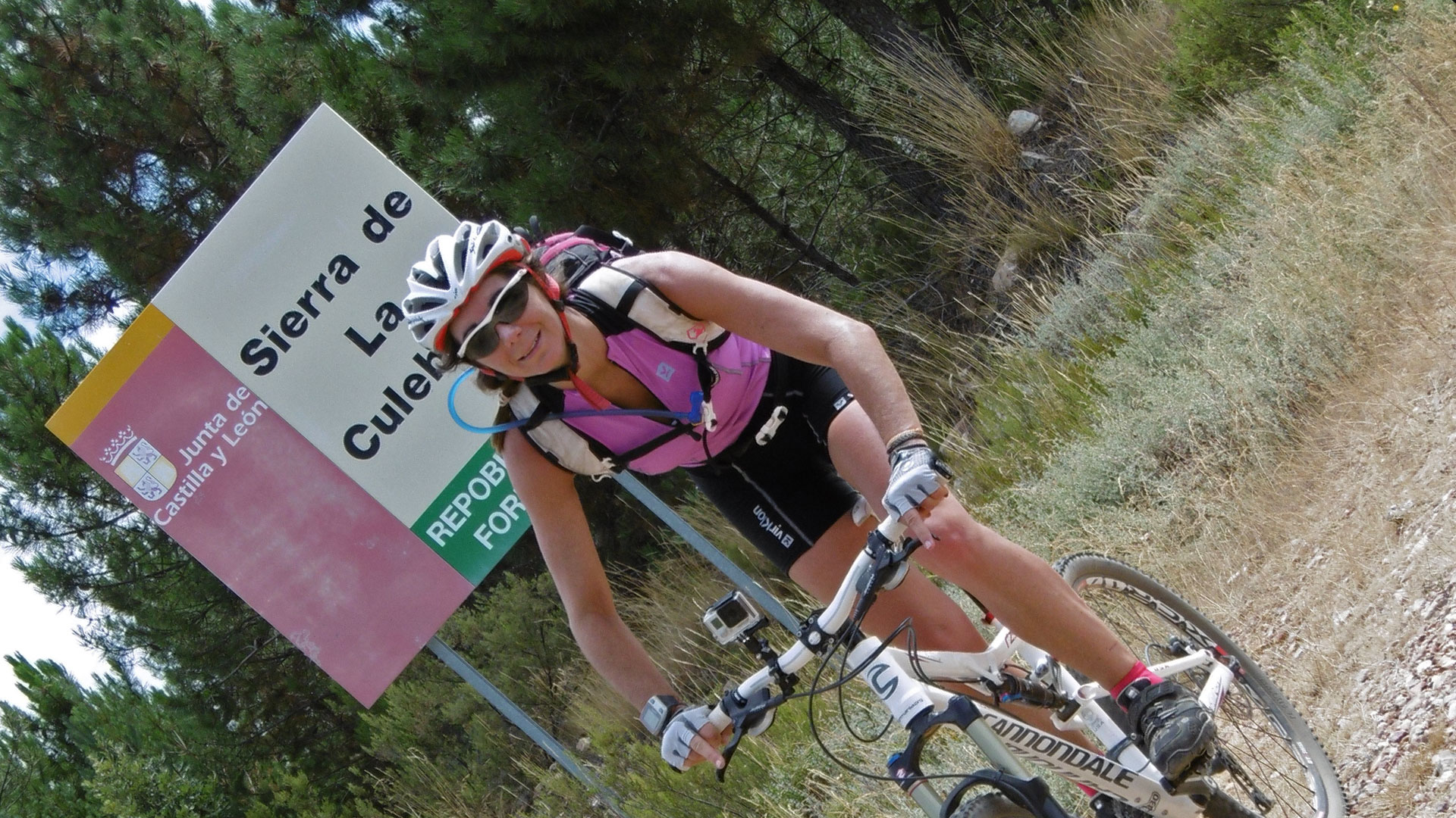
We indicate the route from the Zamora town of Ferreras de Arriba, in the heart of the Sierra de la Culebra. And we do it with the first heater of the day. The ascent to the Lleira peak at 1,174 meters above sea level. an unheated climb of 300 meters in 3.2 km. But well after this we are already warmed… and so much so that in the middle of August 31, 2014 they ate us the horseflies.
We go down the Arroyo de las Mouta, arriving at the Arroyo de Serrón where we turn left towards the Corrales de la Mayada, where halfway we can see the ruins in good condition of one of the pre-Roman forts of the Sierra de la Culebra, then to the Llameras and then to the town of Serracín de Aliste.
We leave the Camino de Mayas and make a stop at the Fuente del Avellanal. We continue along the road from La Ventosa to Picón, la pedrecilla and little by little we arrive at Peña Farragosa. Our second peak of the day.
We go down towards the Peña del Fornico and we overcome the steep slope of Robamalo, to already fall towards our starting town.
(Route travelled in August 2014).
Video
Map
Max elevation: 1149 m
Total climbing: 1074 m
Total time: 04:24:22

