We started from Puerto del Pico, N-502 PK 55, and more specifically from the parking lot of La Parada del Arriero Restaurant.
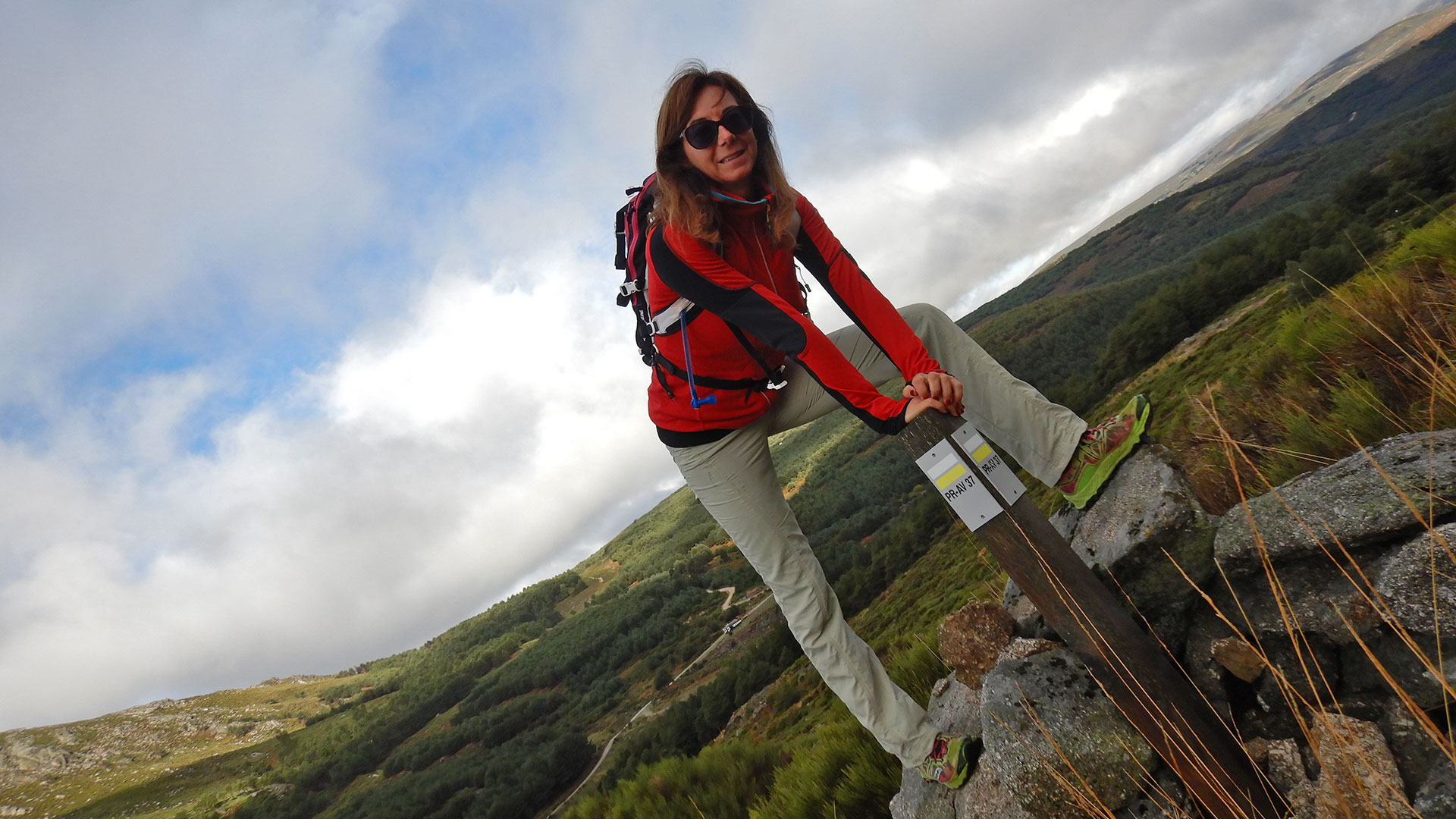
Today we do not see the Torozo because of the fog that covers it, but it has no loss. We follow the signs of PR-AV 37 – Senda del Torozo.
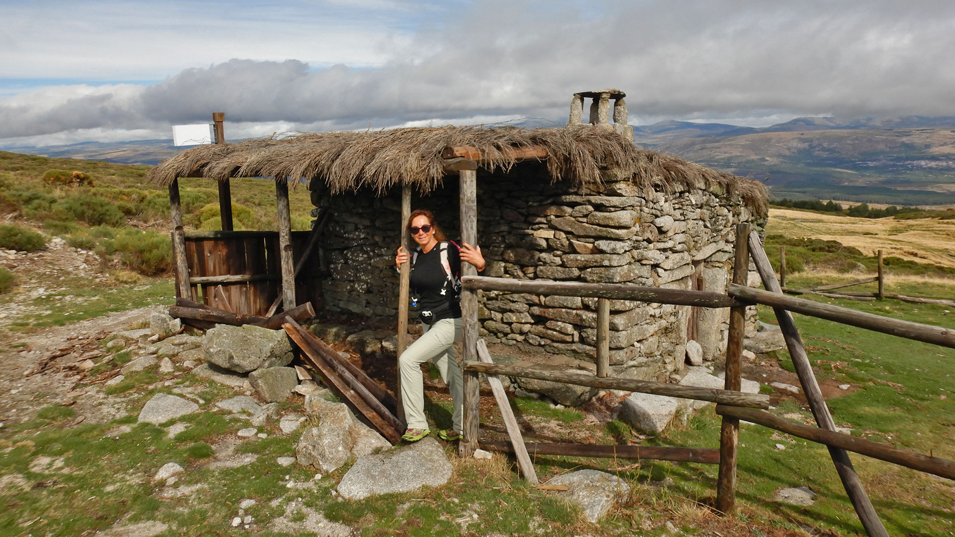
Then we arrive at the Majada del Tío Manteca Refuge. After visiting it, we continue along the path of the PR until we reach the viewpoint of El Laerón. And although the fog is rising, it does not allow us to enjoy the views.
We move forward and arrive at Las Belesas Fountain.
Path up we pass through the El Cervunal Refuge. And higher up we reach the most beautiful part of the route. The Collado del Risco of 1,935 meters above sea level. From where, although we don’t have clean views if they allow us to take good pictures of the clouds.
We are moving towards the final climb of El Torozo with its 2,021 masl geodetic point. This is the end of the PR-AV-37 trail. We do not undo the path and continue along the flat side of the cliffs and looking to shorten the descent of the route making it more circular. It is easy to follow since it is all marked with milestones to which we have contributed with the contribution of some stone than another.
We recover the path a little before El Laerón, and from this point we undo the road to the parking lot.
It is an easy route to follow and do without any problem of technical difficulty.
And what better way to close the day than by tasting the products from the Restaurant La Parada del Arriero.
Video
Map
Max elevation: 2000 m
Total climbing: 661 m
Total time: 03:38:31


