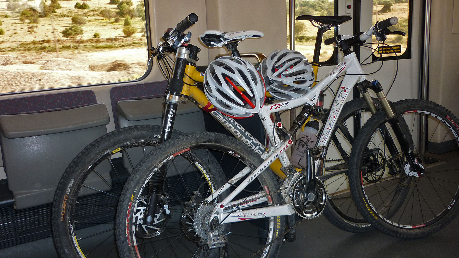
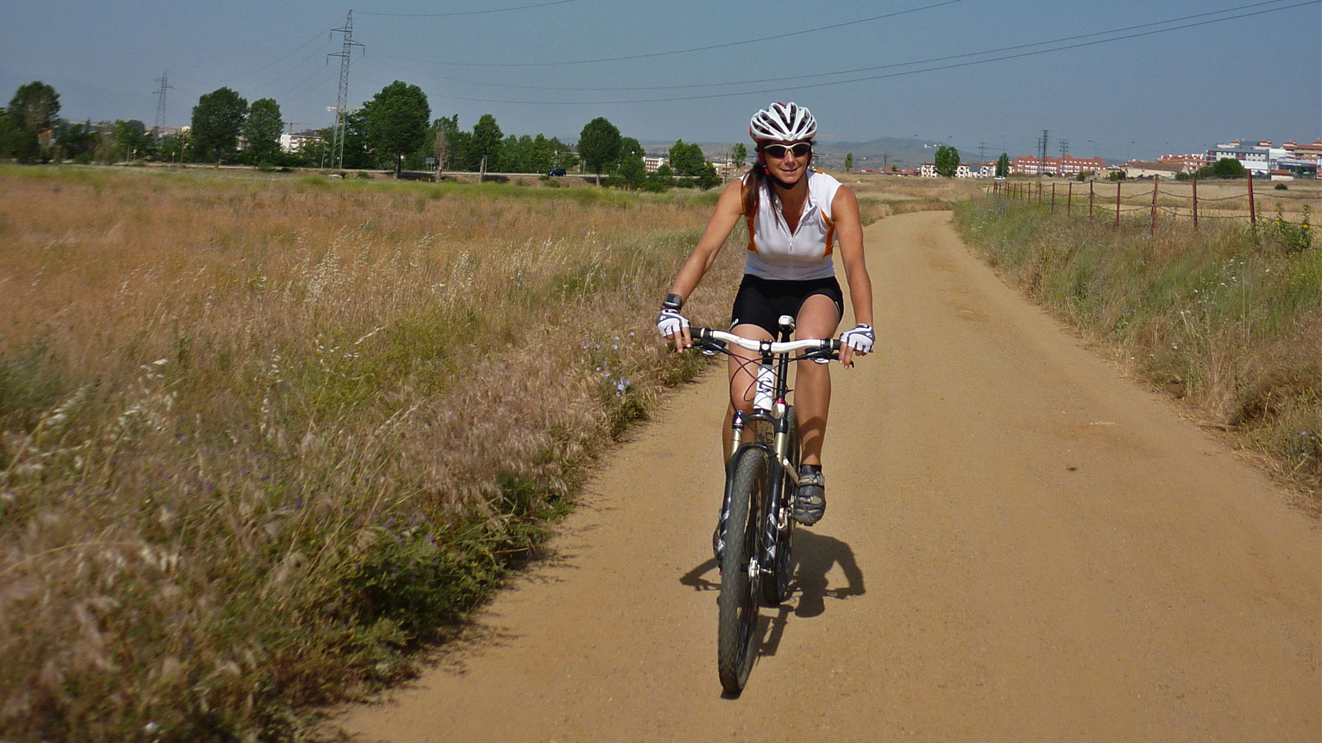
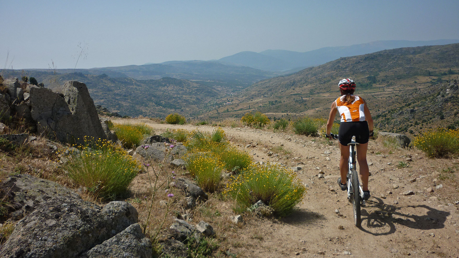
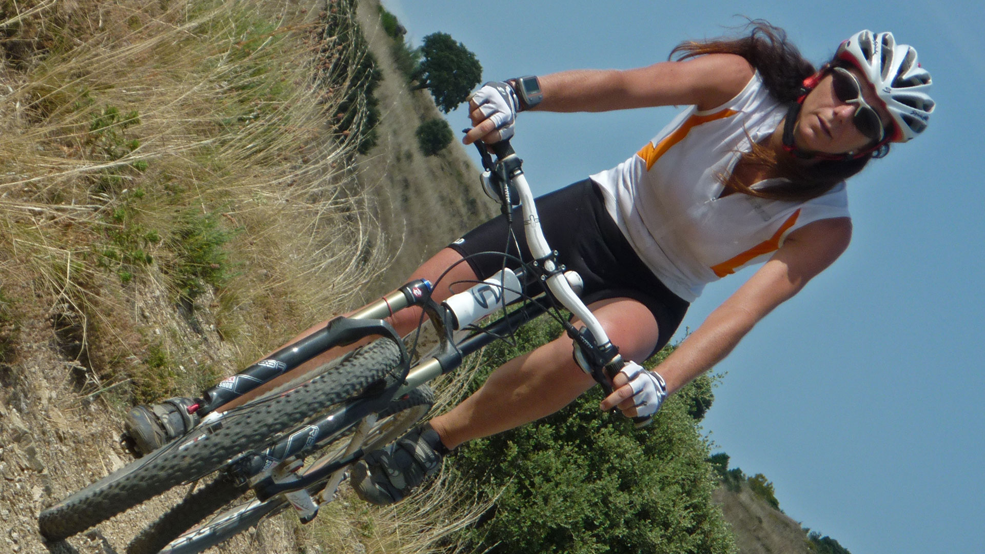
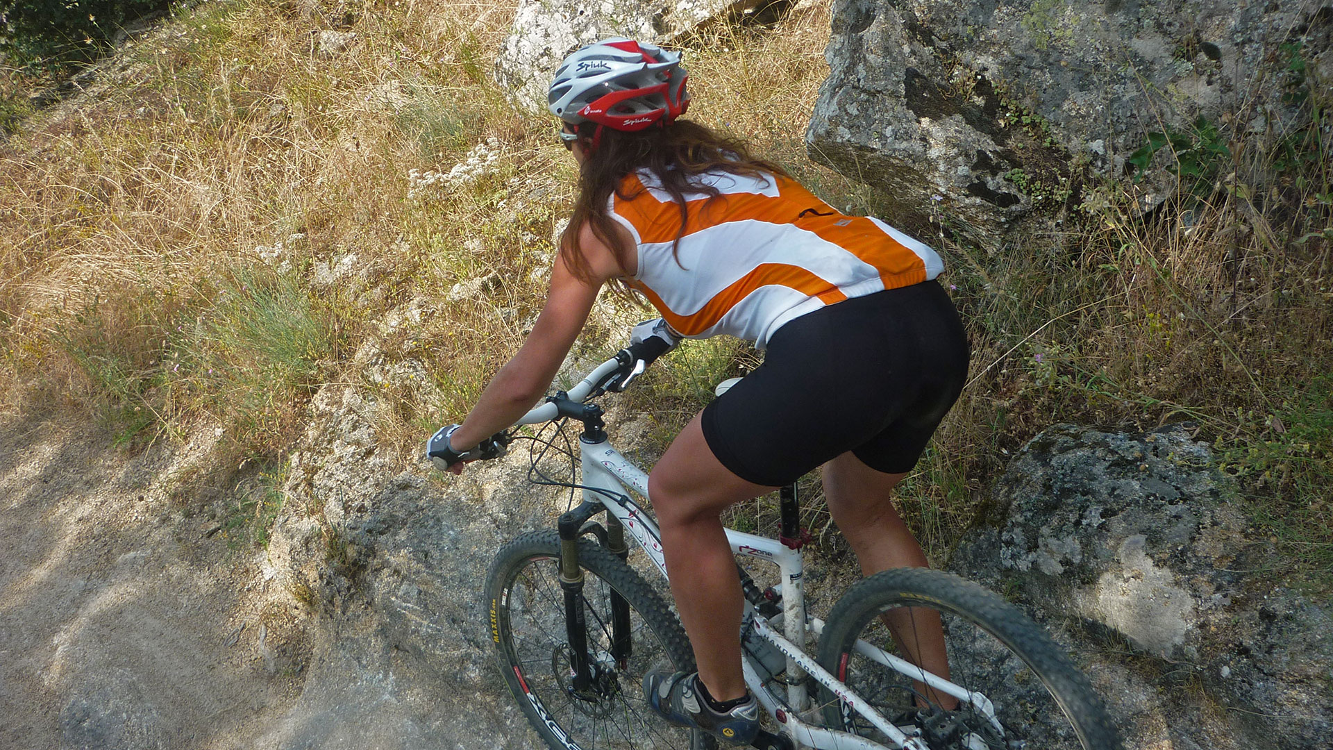
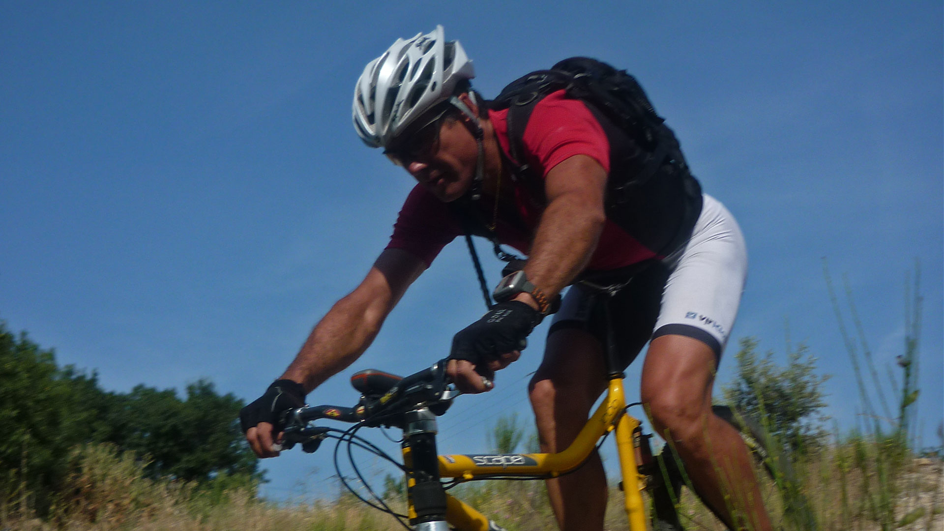
We move to Ávila by train and start the route from the same train station in the Castilian-Leonese city towards the El Escorial road, but we take the first detour to the left through the Prado del Soto parallel to the Río Chico and its Later turn of the Arroyo de Tornadizos that lead us to the town of Tornadizos de Ávila.
There we go back to the El Escorial road, in some parallel sections and at the end we roll along it until the maximum level of the day, 1,330 meters above sea level in Cerro de Castrejón. Then we go down the Mollón along the Arroyo del Mollón track and which later takes us to the Camino de Santiago del Sureste or Levante (Stage ES09a-21a.- From Cebreros to San Bartolome de Pinares).
We pass through the towns of Herradón and San Bartolomé de Pinares, which when we leave, in the area of the Eras, we leave the Camino de Santiago to orient ourselves towards our destination, El Escorial, to roll down the Camino del Quintanar. In Chorro Mingo we cross the Cañada Real Leonesa, and we continue along the Camino de Quintanar, we cross the Becedas river and arrive at Valdemaqueda, our first route town in the Community of Madrid.
Follow us along the Valdemaqueda road until crossing the Cofio River. And then we left to roll down the Arroyo del Valsequillo track that leads to Robledo de Chavela.
From there we leave on the GR 10 – From Valencia to Lisbon, in its section from San Lorenzo de El Escorial to Pelayos de la Presa. And that could have been our return route, but in our case we deviated at the level of the train tracks to Zarzalejo La Estación. To then tour the beautiful Roman Road that leads us to El Escorial. We pass by the El Escorial train station, which can be used to reconnect with Ávila or other destinations. But our end was San Lorenzo de El Escorial.
Nice route of historical roads. Roman road, canyons, Caminos de Santiago. Mainly piste and wheeler. And even being linear, it is easily practicable with the help of the train.
(Route travelled in juny 2011).
Video
Mapa
Max elevation: 1330 m
Total climbing: 1862 m
Total time: 08:28:43

