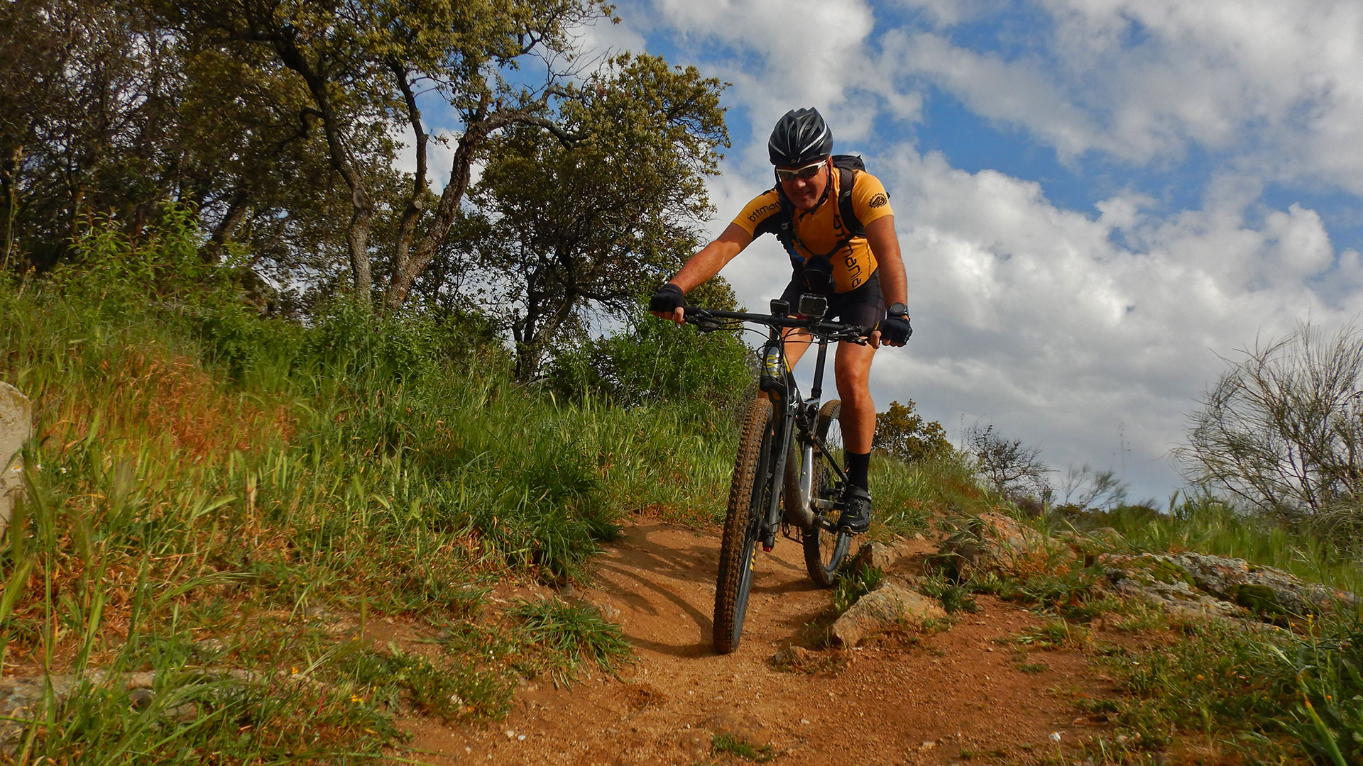
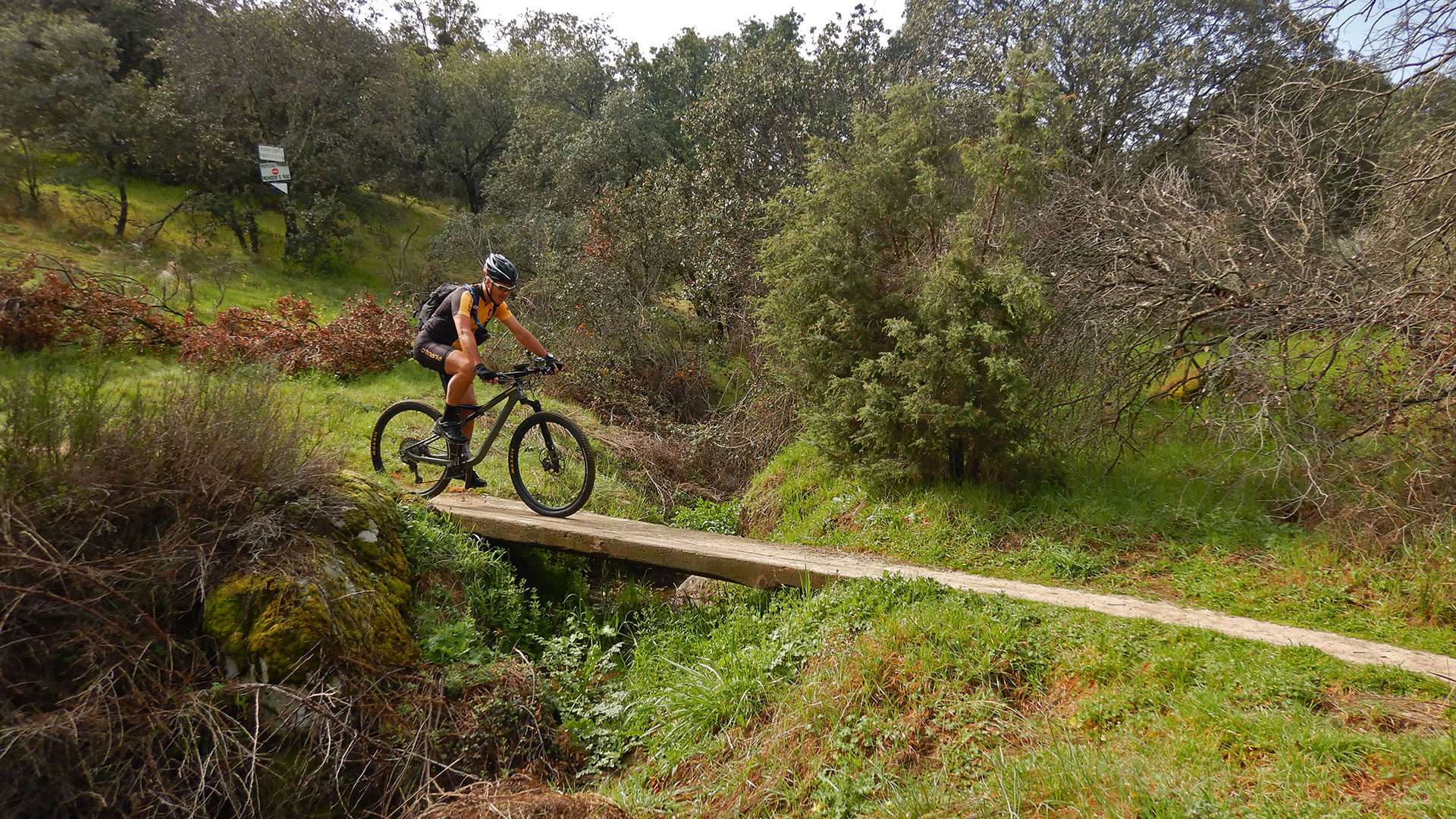
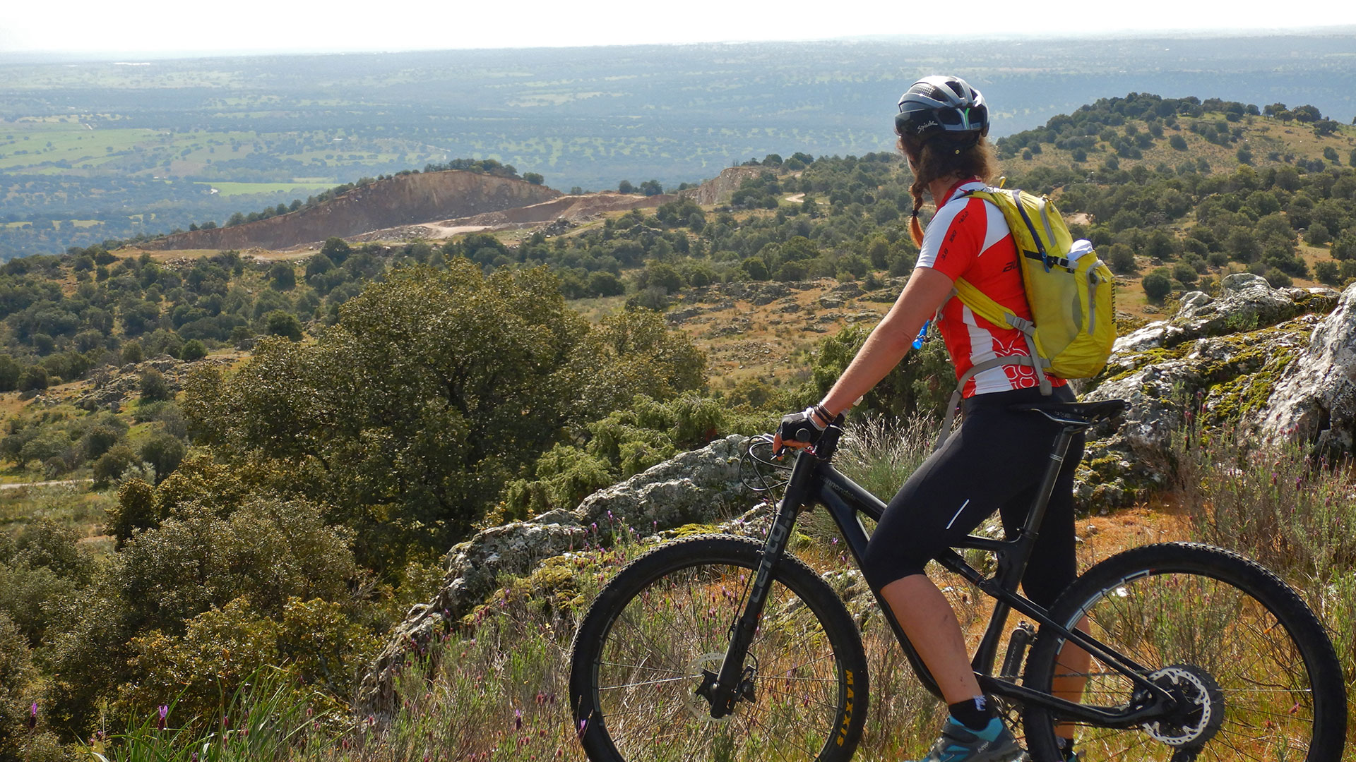
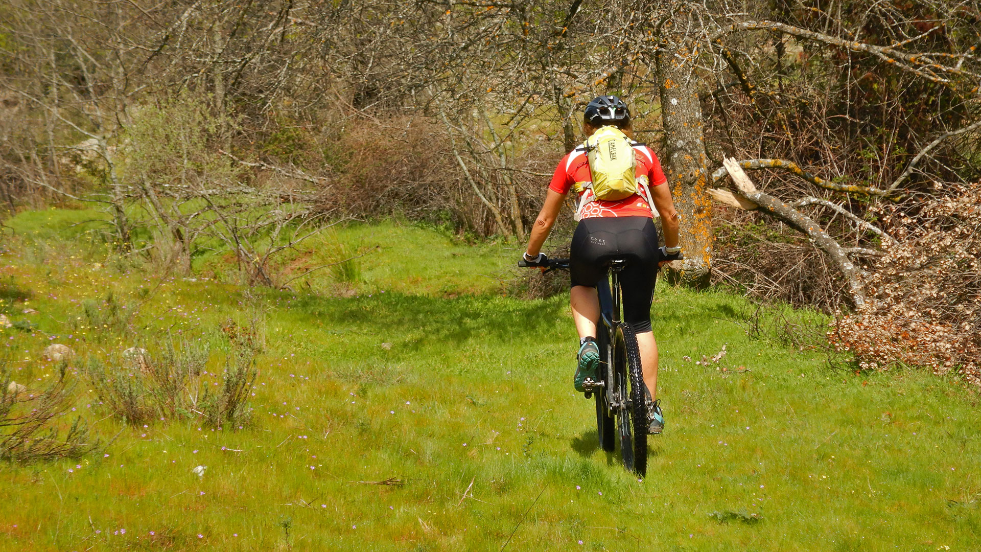
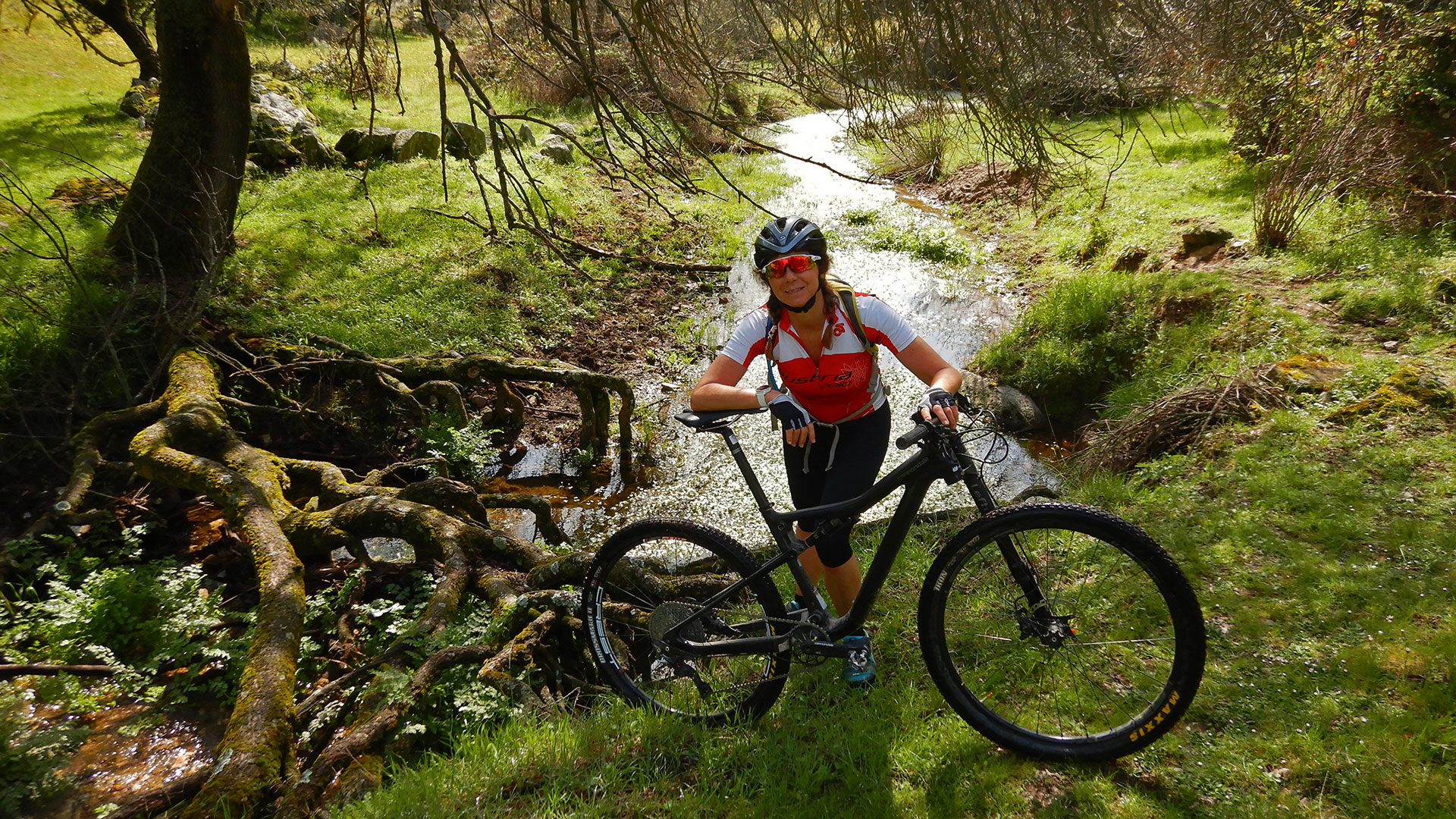
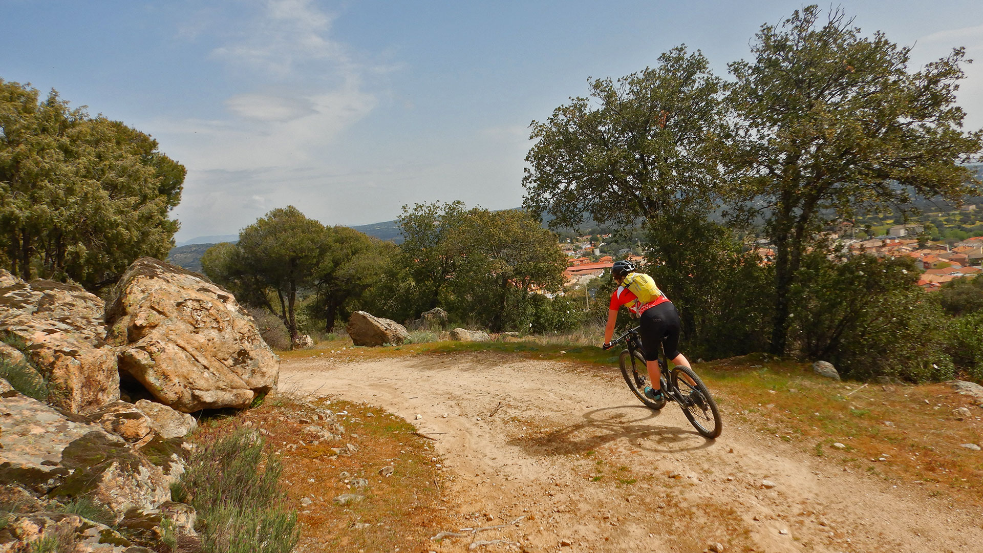
We start the route from the Church of Our Lady of the Star in Navalagamella. We go first to the bunkers that are next to the road and then we turn behind the town and go down to cross the Arroyo del Molino de Hondillo to pass through the Pedrosillas area and later cross the Rio Perales under the tubes of the Canal de Isabel II in the Descansadero area.
Then we continue along the track above the Canal conduit until we turn off to go through Las Eras de la Nava and reach Valdemorillo.
We go around Valdemorillo and leave through the Path of the Robledo Path. Then we pass between the Valdemorillo Aerodrome and the Motocross Circuit. And from there, along trails, we approach the Cerro de Alarcón that we perimeter it, also enjoying its network of trails.
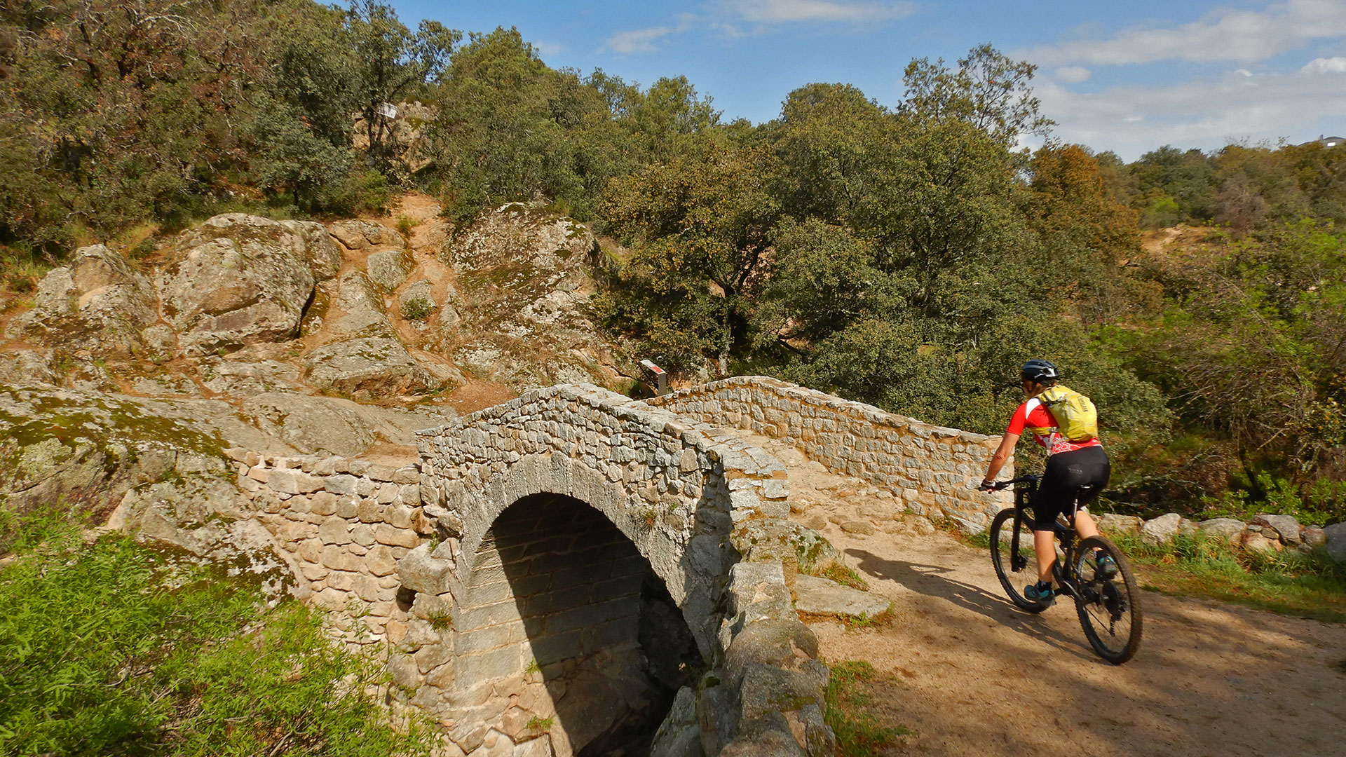
We cross the Perales River by the Medieval Bridge of the Pasadero. And we go up the path that takes us to the M-521 road where we turn left and exit through the first entrance that takes us to the Picadas Driving Service Road, although in some sections rolling through the meadows.
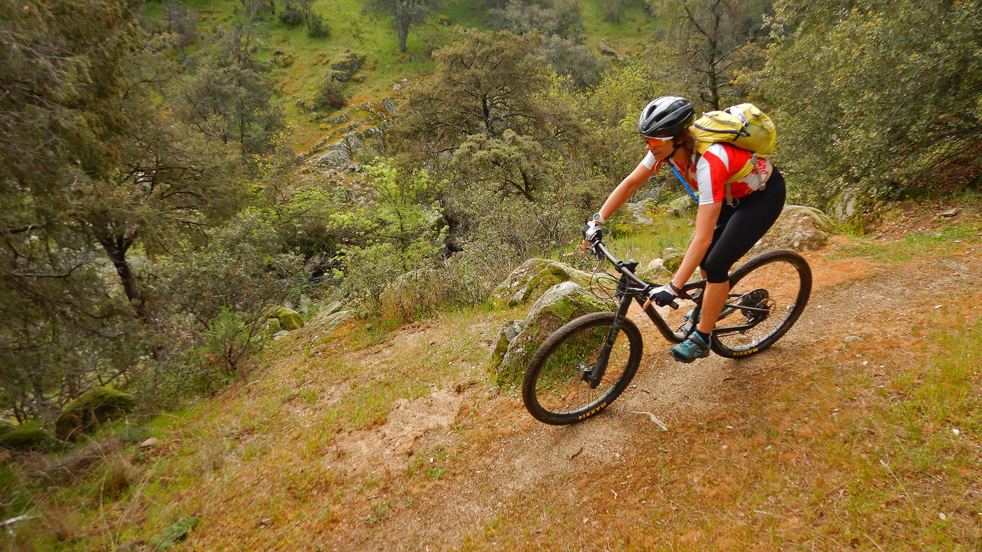
Then we go up the Guijos track and then we go down to look for the Arroyo de la Dehesa path. Beautiful place in a spectacular time of spring.
We continue towards the Cañada Real Leonesa passing by the Finca de La Chopera and the Casas de la Constancia and finally we come out to the M-510 through which we roll a bit until we cross it to climb and fall to our starting point. Navalagamella.
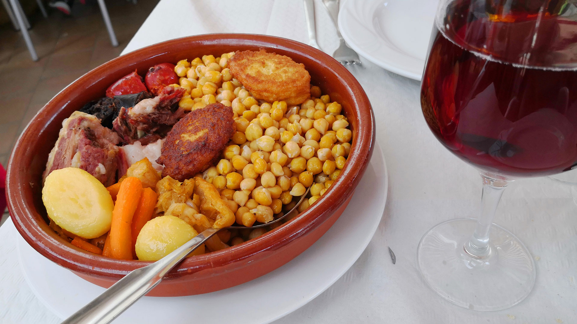
And what better way to close the route through the Sierra del Oeste in Madrid than with a cocido prepared at Bar-Restaurant km.0 in Navalagamella
Video
Map
Max elevation: 923 m
Total climbing: 1095 m
Total time: 04:23:39

