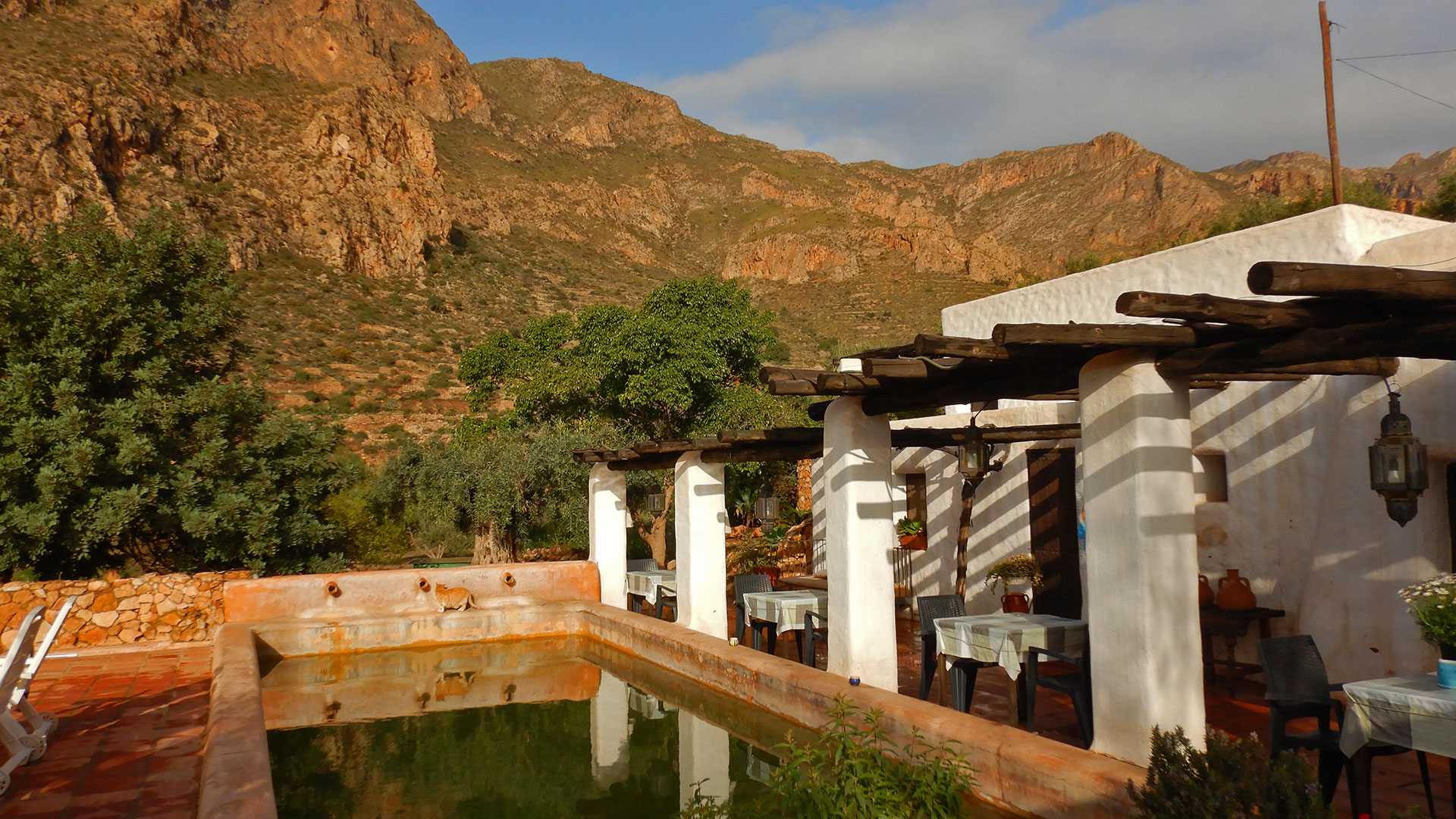
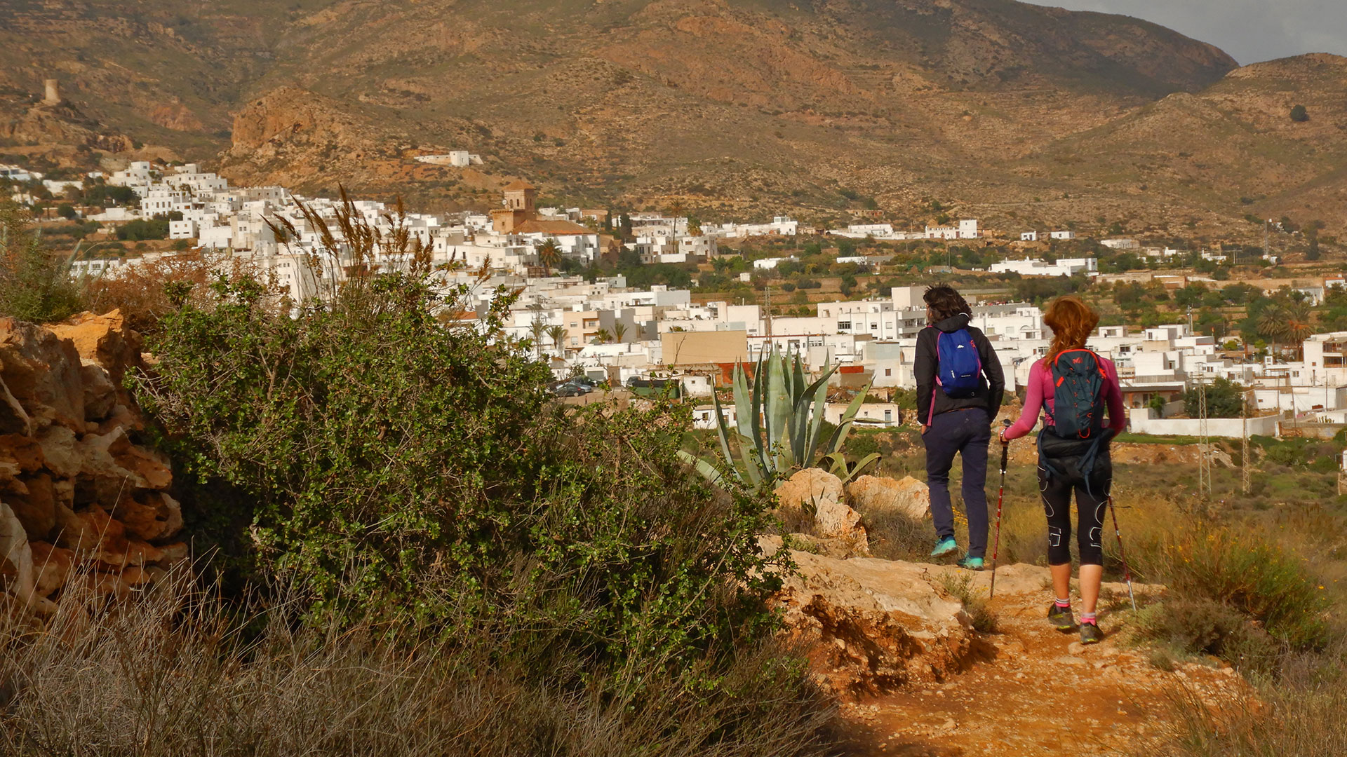
The municipality of Níjar is the largest in Almería and the 38th in Spain. And the Níjar region is home to the Cabo de Gata-Níjar natural park, recognized as a Geopark by UNESCO in 1999. Today’s route leaves from Nijar, specifically from the Hotel Rural Cortijo La Alberca where we have stayed for the weekend. of the week and where we recommend it without a doubt! And we are going to know the Southeast sector of the Sierra de la Alhamilla. For this we have the company of Mati. A nice girl who makes us happy, locates locations and locates all the mountain goats for us along the way.
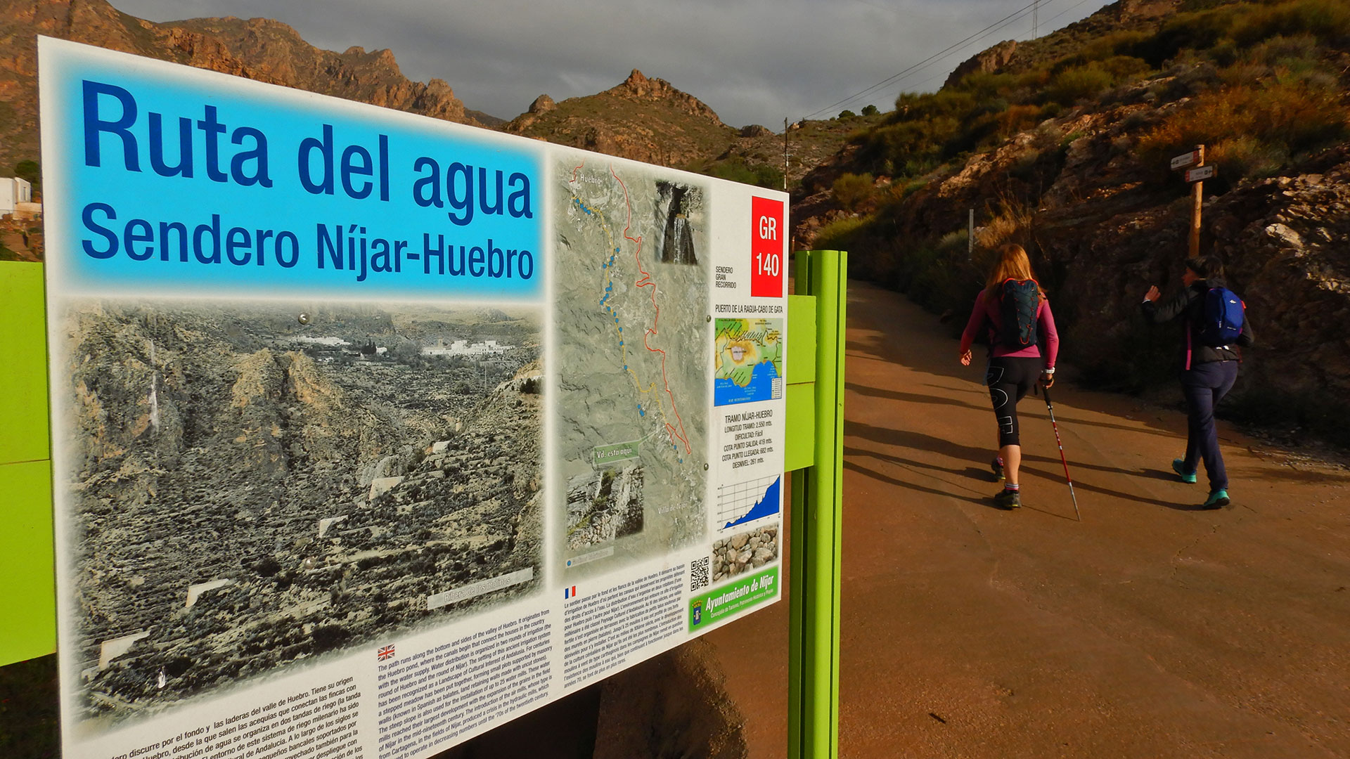
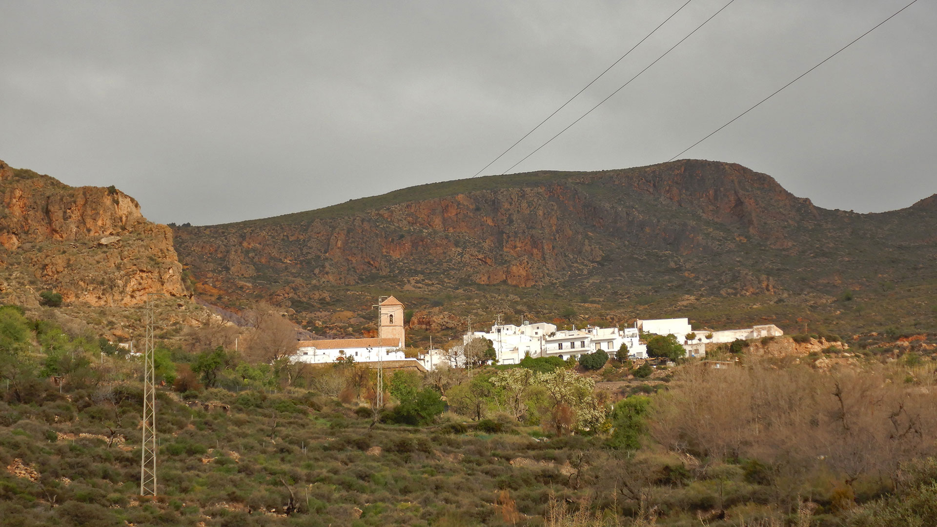
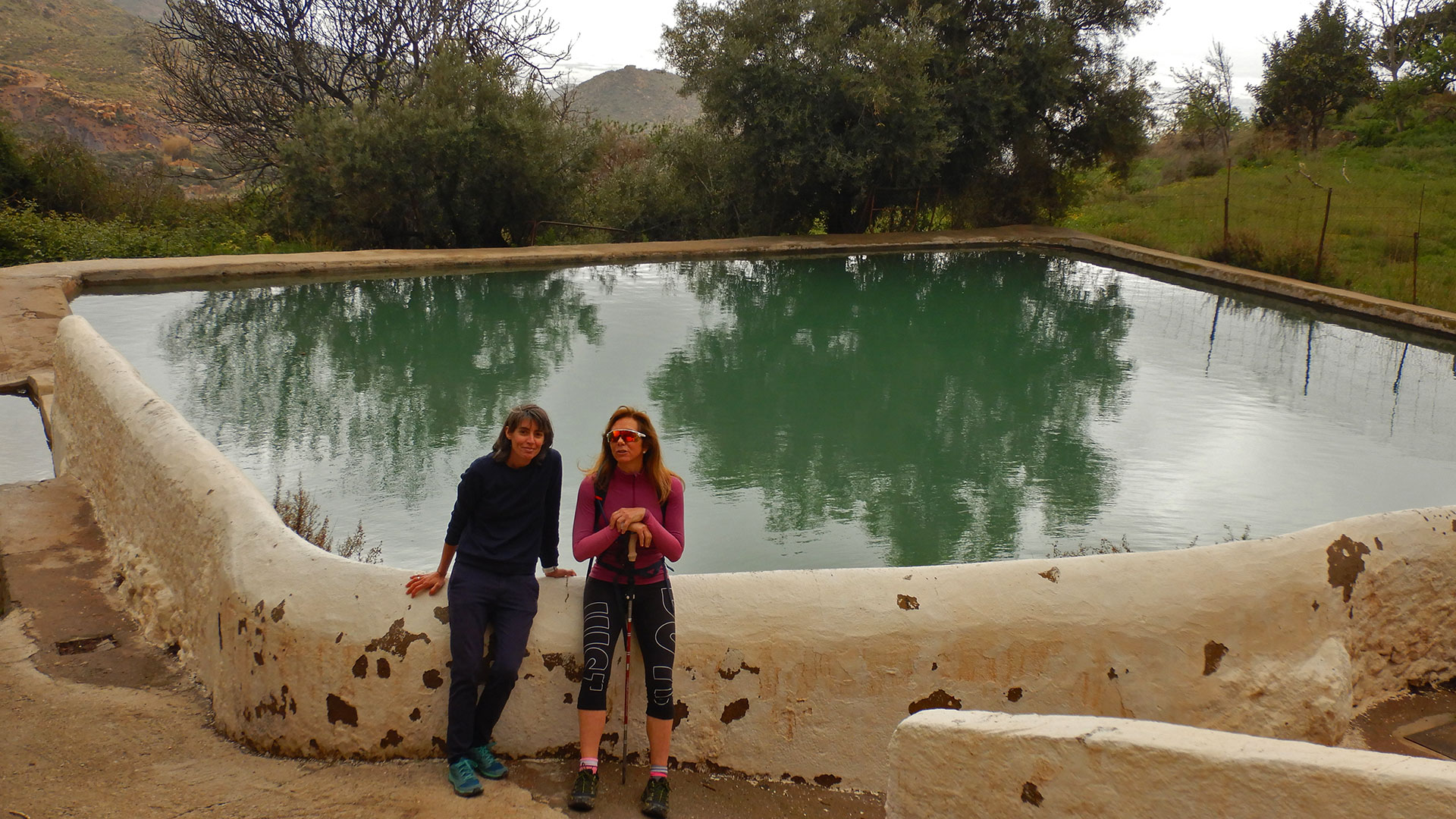
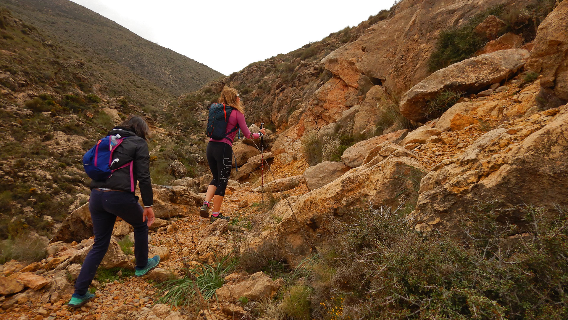
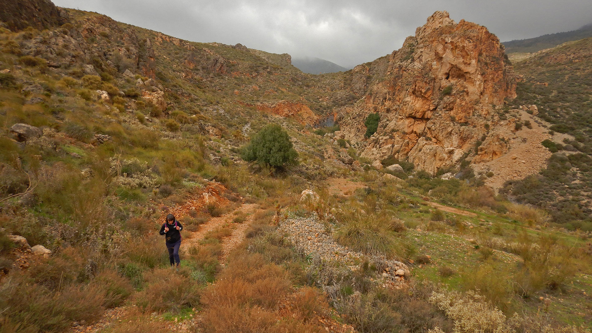
We start the route along the signposted path at the end of the town as Ruta del Agua, Sendero Nijar-Huebro GR-140. We climb gently through the Barranco de Huebro passing through the Molino de la Cerra in ruins until we reach Huebro, which is a small and beautiful town belonging to Nijar since 1860. Previously it was an independent municipality due to the importance it had, inherited from the Arabs, as a use of the water in the La Zanza spring where the water is still dammed and distributed throughout the valley.
We continue up the trail along the stream until we reach La Canasta and from there, we continue hiking to the Collado de la Fuente de Pavón passing by the paintball and airsoft facilities, as well as a route for 4×4 vehicles, belonging to an active tourism company Alhaventur .
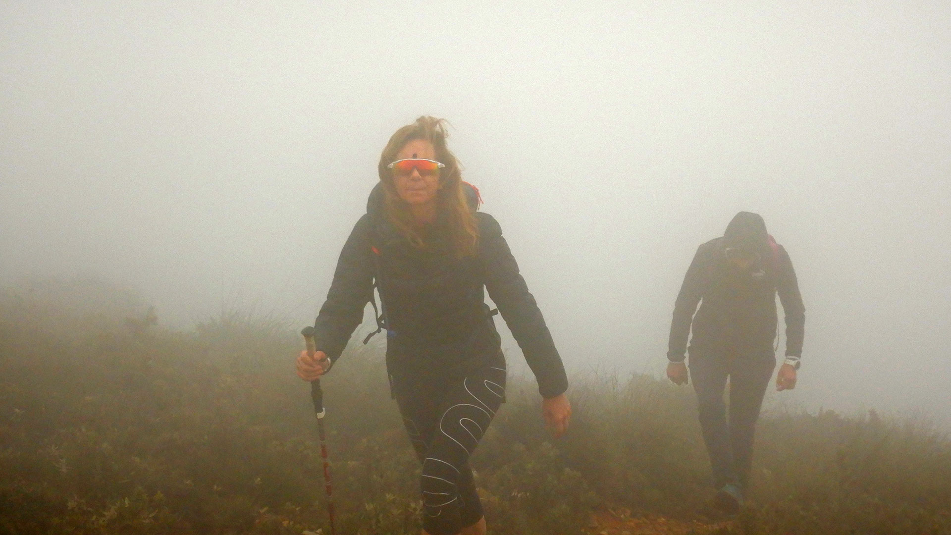
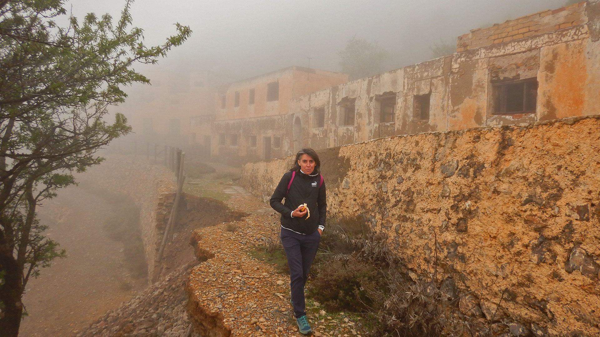
We continue forward towards the complex of mines, but honestly we make it difficult for us since in this hill you can go by track towards the Laiquez Mines. We opted to go behind towards Cerro de la Cañada and climb an impressive track towards Cerro de la Mina 1,216 meters above sea level. The ascent is historic due to the steep slope and to top it off we are covered with clouds so that neither the top nor the views, nor almost us, can be seen.
From here we make field dares, to end up going down a steep descent through a lunch box. If you repeat it, be careful, there are several risks of falling and sinking in the open and very deep Mine Shaft, which is not marked. But if you’re careful on a sunny day, I’m sure you’ll enjoy it.
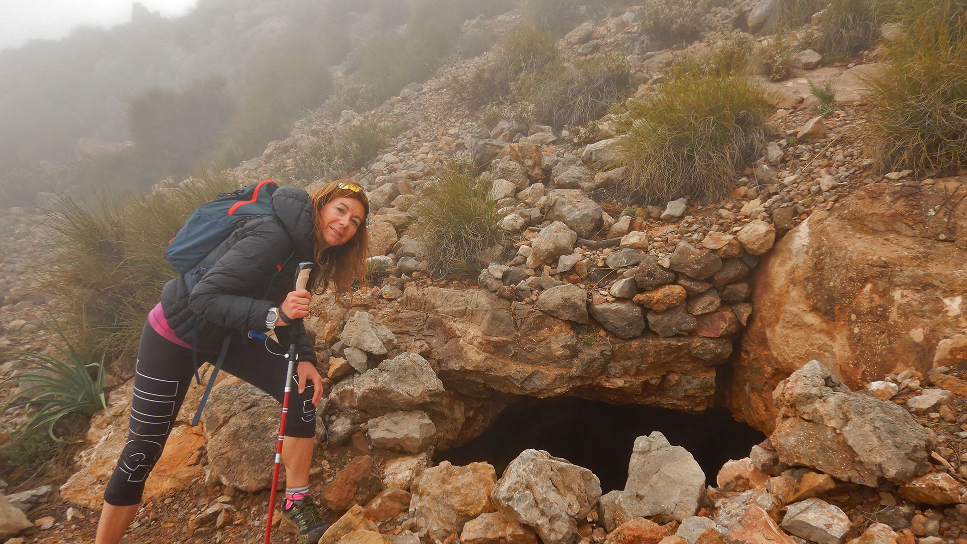
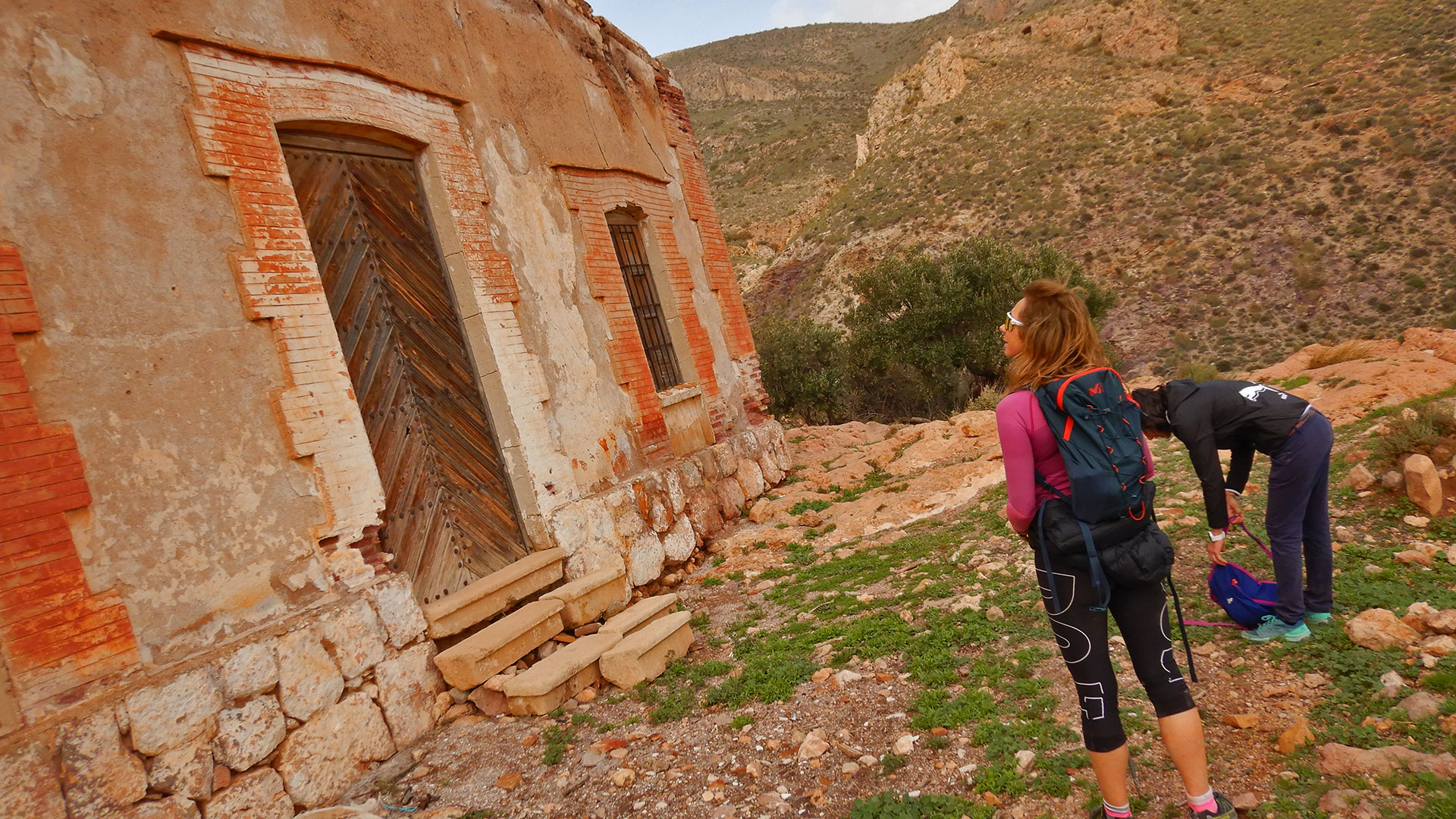
Overcome this punt arrived at the abandoned complex of Les Mines Laiquez. The first documentation available on this mining emplacement, located in the heart of the Serra Alhamilla, is found in the Provincial Historical Archive of Almeria, corresponding to the former Prefecture of Mines, in which it is called “Laízquez”. These documents are dated 1884, when the concession code 4424 is going to be granted, from a set of previous concessions. The vedat miner Laiquez a Huebro, is a complex miner, formatted by various concessions, according to the most important named Laizquez (number 4424), from which they take the current name of this complex, on which the galena was exploited to separate the lead and silver contained in it, considering that the mineralization is of Pb, Zn, Cu, Fe, F and Ba. The mine operated at the Laiquez site, is going to be closed on August 9, 1976. Other mines that were more prosperous in the locality of Lucainena are going to be closed 7 or 8 years ago than Laiquez, in the period 1968- 69.
It’s a magnificent day and tomorrow, embolicats among the crowd, gives you a vision of the days that the people who are going to work here will pass. Follow the track avall in the direction of Rambla d’Inox passing by Penyal d’Inox.
If we do a little history. Inox was a town, currently disappeared, that was located to the west of Níjar next to a hill that was considered impregnable. This rock had been fortified by the Moors of the region and with the help of Turks and Berbers. But an unsustainable situation in Almería in 1569 provoked an attack on the Inox hill by the Christians. On February 1 the battle began. The orography gave, in principle, all the advantage to the Christians who, located under the great rocks of the hill, were not hit by the rocks thrown by the Moors or by the arrows they shot. This decided the Christian victory. According to the chronicles, more than four hundred Moriscos died in the fight and more than two thousand seven hundred women and children were taken prisoner, and an enormous amount of clothing, jewelry, gold and silver, cattle, etc., all estimated at more than five hundred thousand ducats. The figures are high enough to consider the Christian victory of Inox as a real “business”. Since then, that area has been known as La Matanza in memory of the massacre there. Currently the state of conservation of the site is null, it has almost disappeared. Only a few vestiges remain.
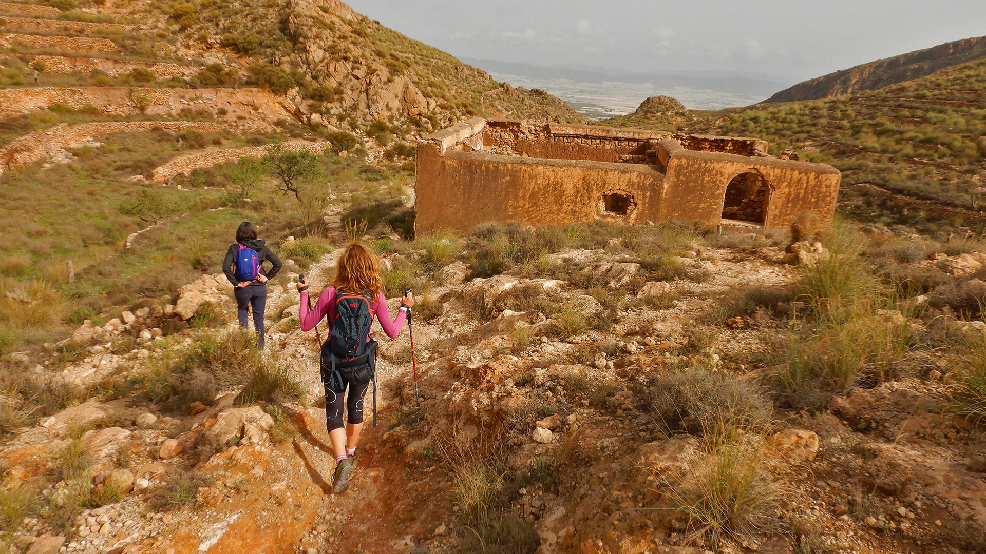
We followed the cap to the Mas de Inox on ens reben two great mastiffs that faced that they anem fent back, in the end we decided not to try more forces and optem to continue the fins terraces to overcome their territories but quickly return to the track that ens creua novament the Rambla de Inox and we will arrive at the Mas del Marchal, which will be an antic settlement argàric and with this Molí d’Aigua troba in good state of conservation.
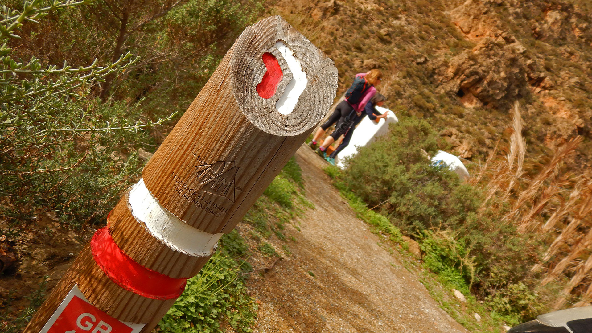
Follow the ends to check the signs of the GR-140 and lead to the Nucli poblat of La Matanza. Subsequently, following the path and guided by the green and white marques passem pel Turó dels Conills i Coll de l’Almagrera.
Follow the GR passant pels Cortijos Cota, Cortijo Las Eras and Cortijo Loma de Simón, fins que ja giram i tenim les vestas de les blanques de Nijar.
Espectacular ROUTE! Long, hard, but with a magnificent company and a lot of history!
Thank you Mati!
Video
Map
Max elevation: 1174 m
Total climbing: 1728 m
Total time: 08:19:40

