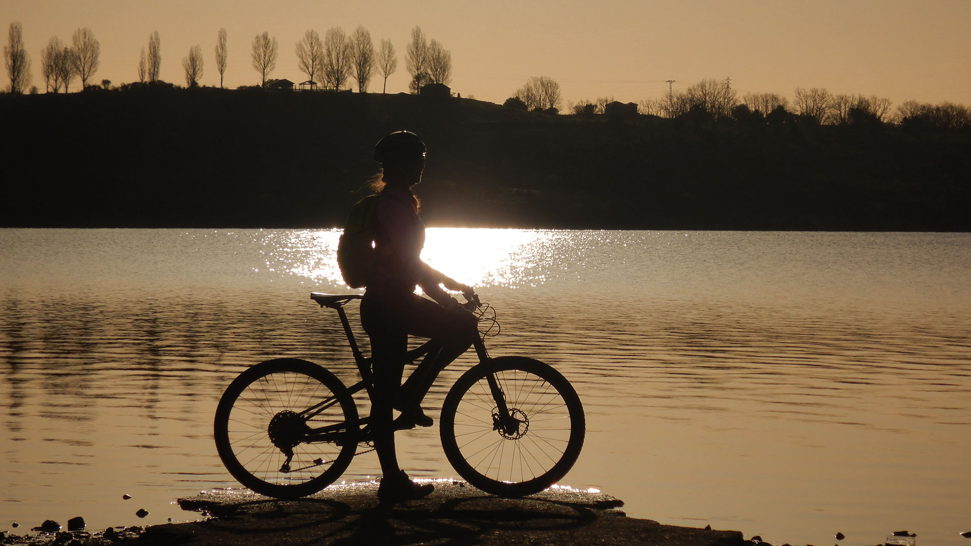
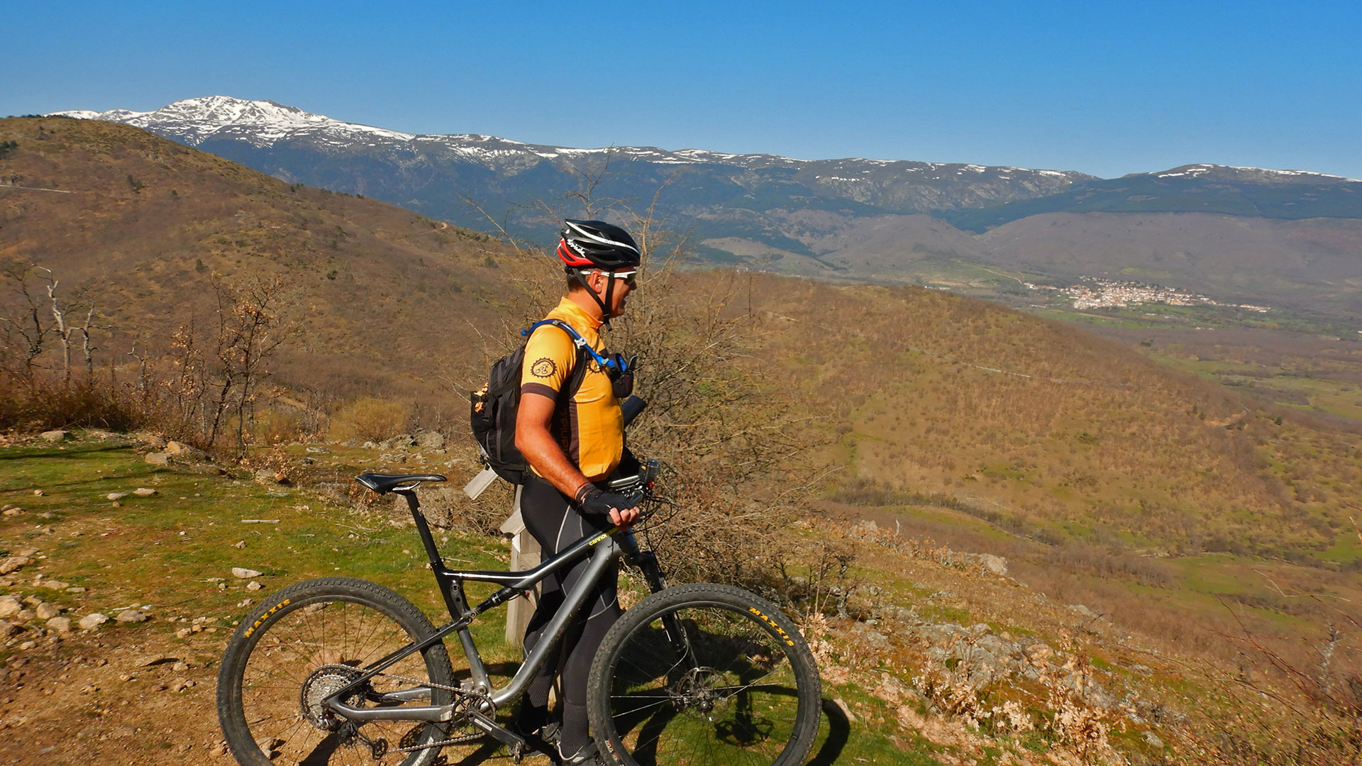
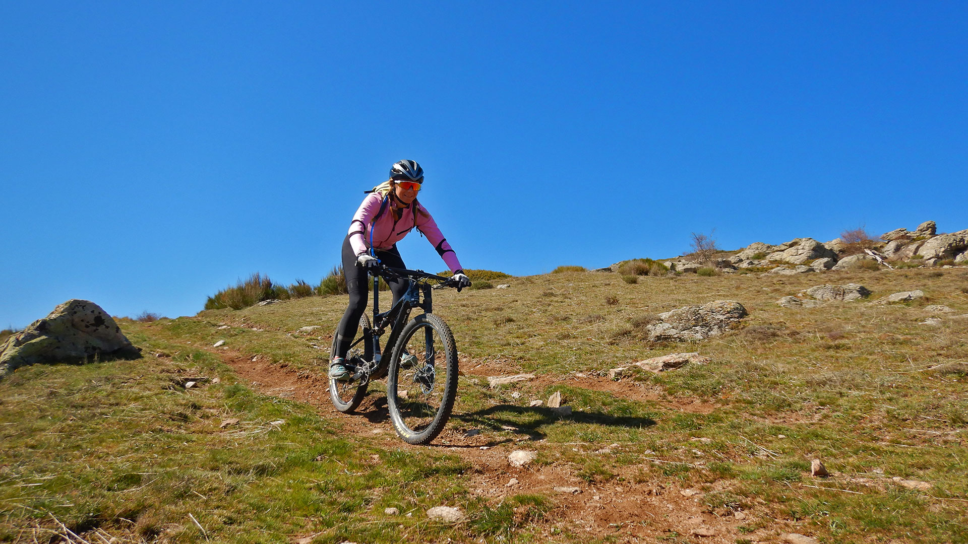
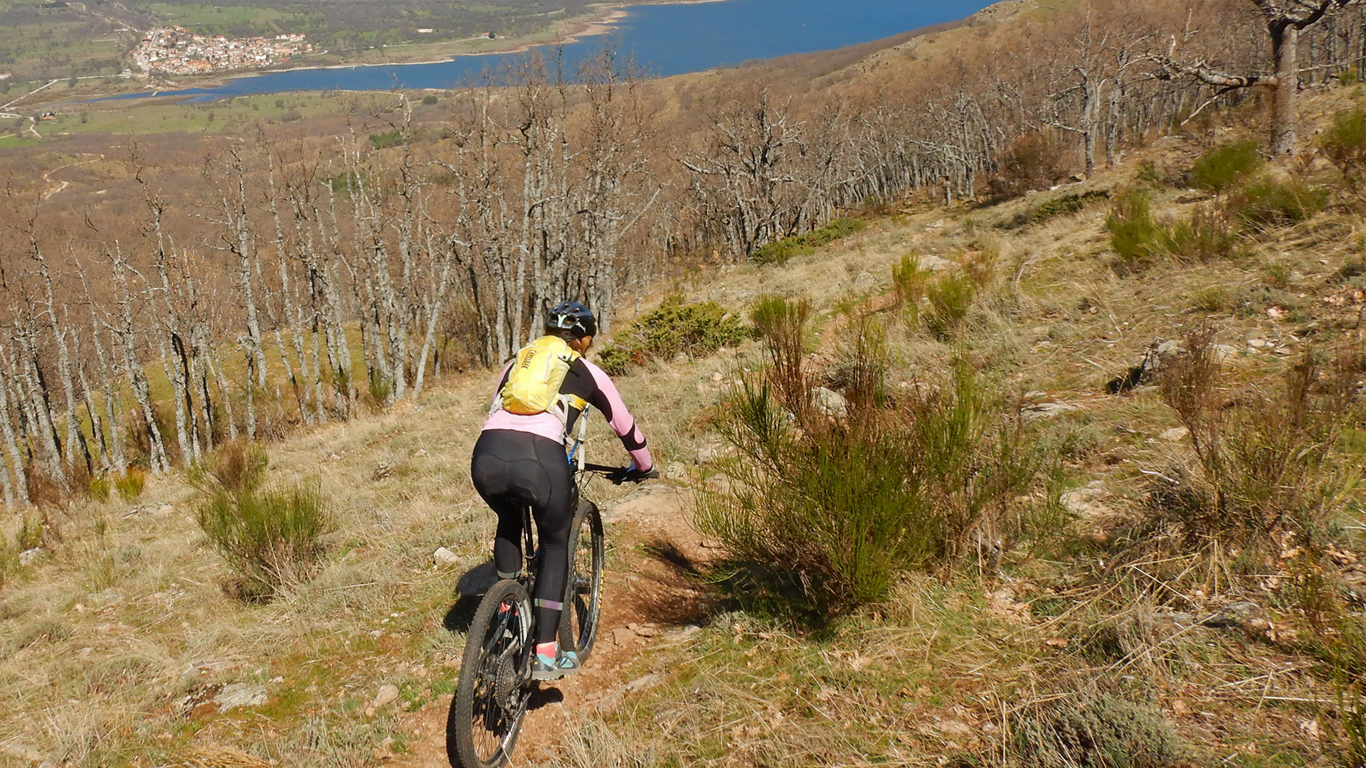
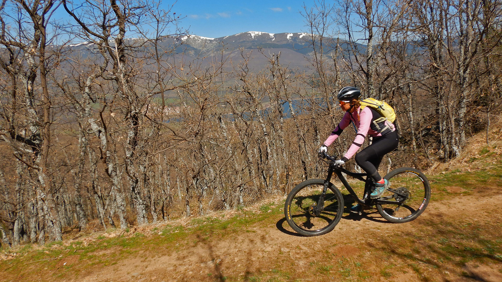
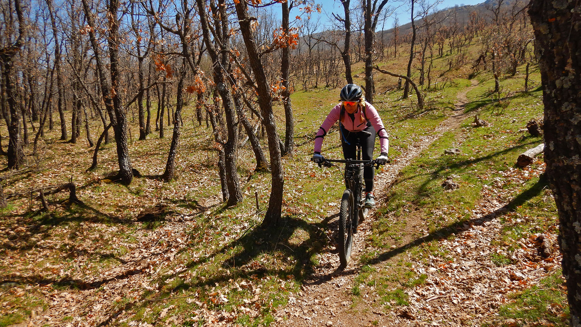
We start the route leaving from the town of Lozoya which, together with its River Lozoya, names this precise valley of mountains in Madrid.
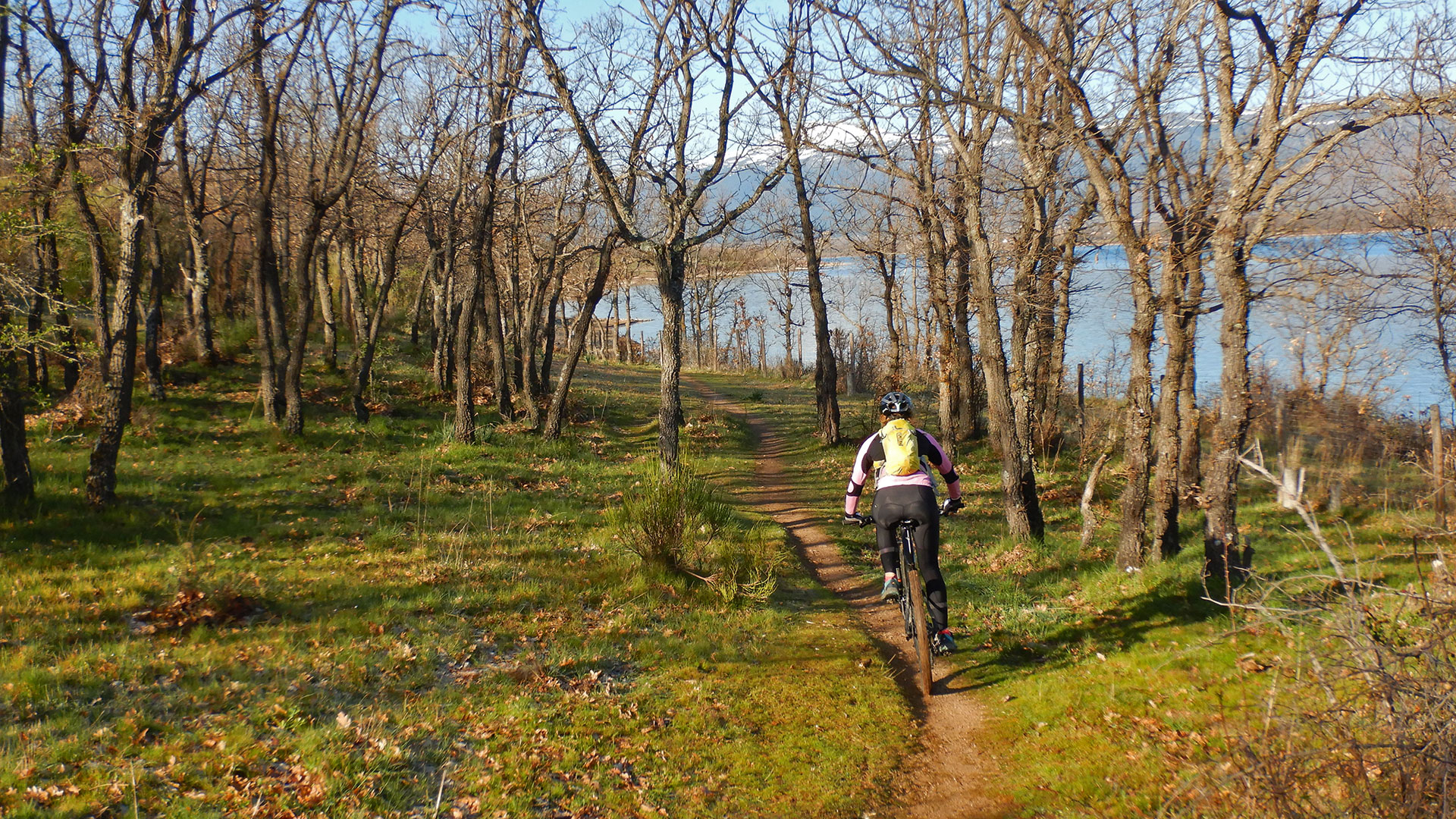
We roll around the Pinilla Reservoir, leaving it to the right to go looking for its prey. We go over the small bridge of the Lozoya River, under the dam and continue perimeter the reservoir between meadows and chestnut forests.
When we reach the end of the reservoir we turn right to cross the Lozoya River, at the head of the reservoir, and we roll towards Pinilla del Valle. Then turn left and go along the track to the next town of Alameda del Valle. There we already turn left and face the Sierra del Hontanar, which will be our next destination.
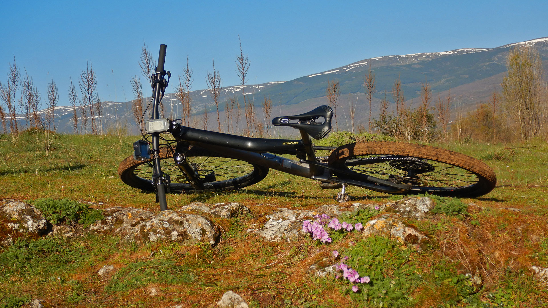
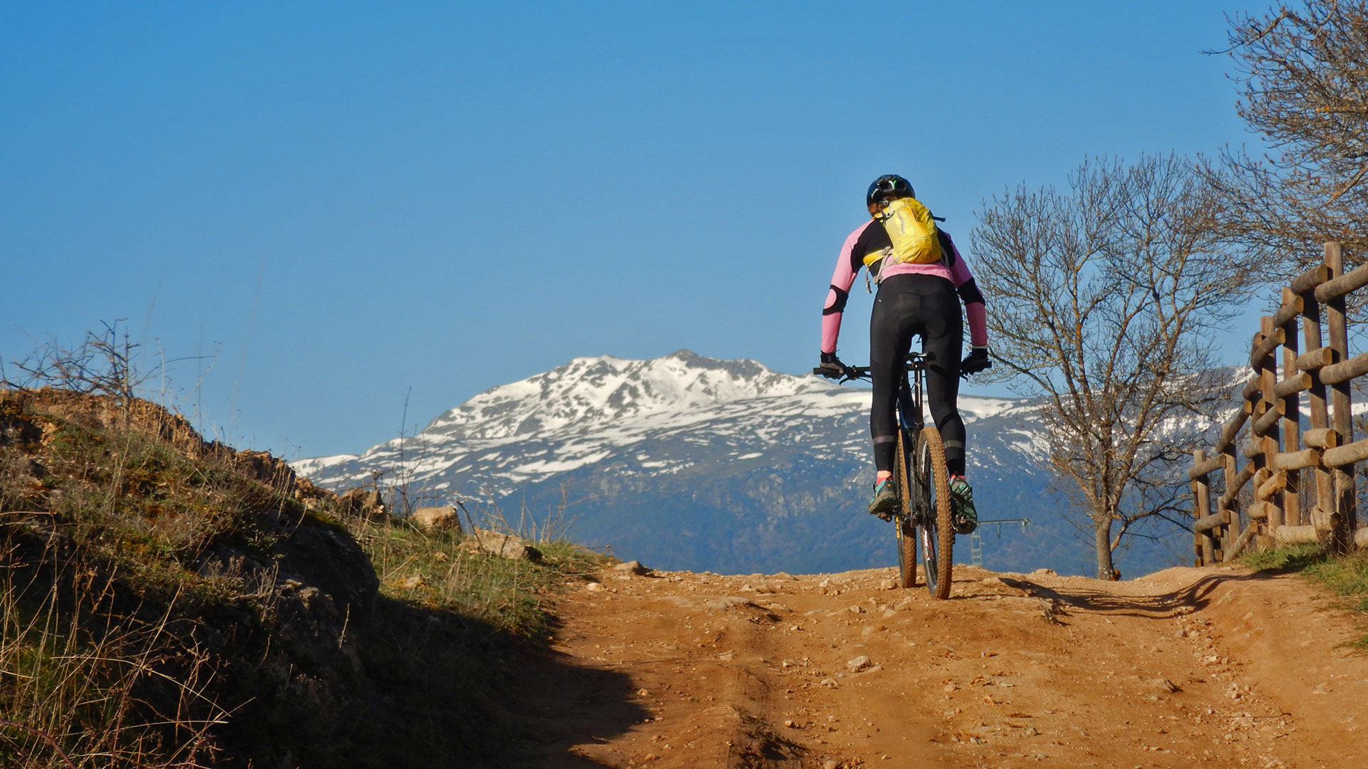
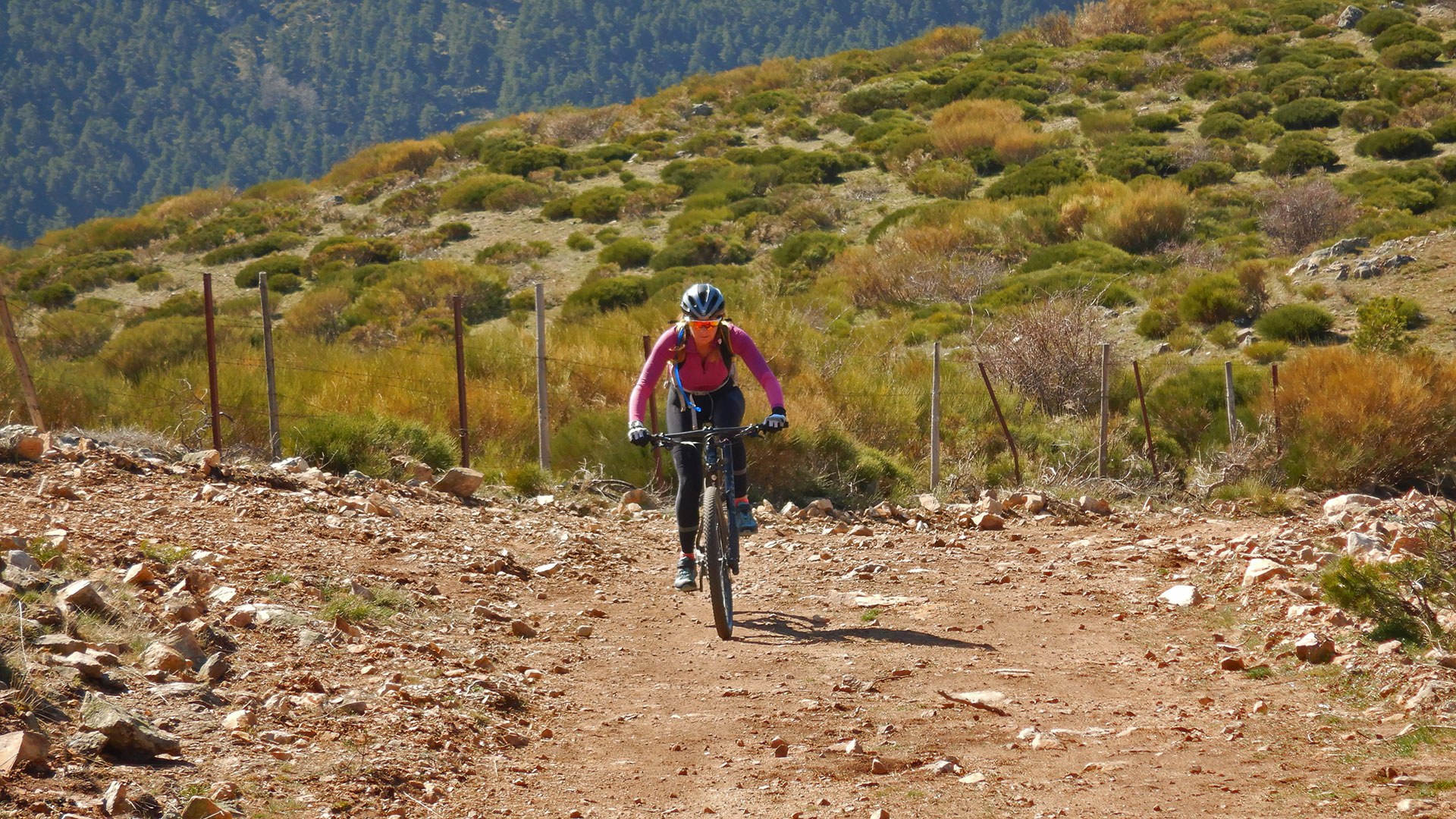
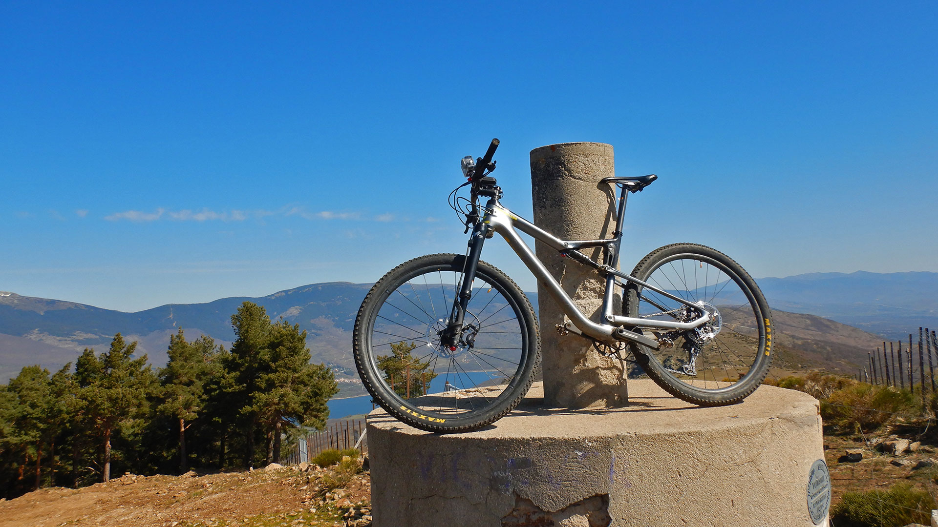
The climb is constant and the only one of the day. It is being done. But all the unevenness of the route is generated by track throughout the Majada del Cojo until you reach the Refugio de La Majada del Cojo. At that moment it seems that you have everything done, but it is not like that. It remains to take a detour to look for the Los Altos del Hontanar rope. We immediately reached the top of El Espartal at 1,731 meters above sea level. Now we have a couple of descents and ascents between the peaks passing through the Collado de las Fuentes and going back up to the Cerro del Águila at 1,661 meters above sea level. For ya yes. Begin to go down to the next hill of the Fuente del Hontanar and descend along a path to the La Potadilla track where we go down to the head of the Pinilla Reservoir, where we had previously passed and now we have to close the circle of the reservoir until we reach our departure town. Lozoya and enjoy its restoration.
It is an easy route to follow in a beautiful place and that with the constant climb you will be well-toned body.
Video
Map
Max elevation: 1725 m
Total climbing: 889 m
Total time: 04:23:07

