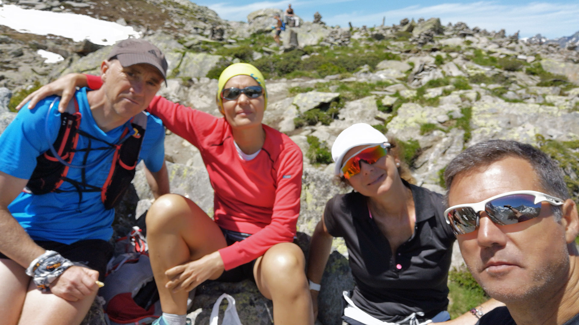
On our second route through Haute-Savoie, we go to the mythical town of Chamonix for a good route enjoying the balcony of the Alps with the Montblanc and the Aiguille du Midi as reference points.
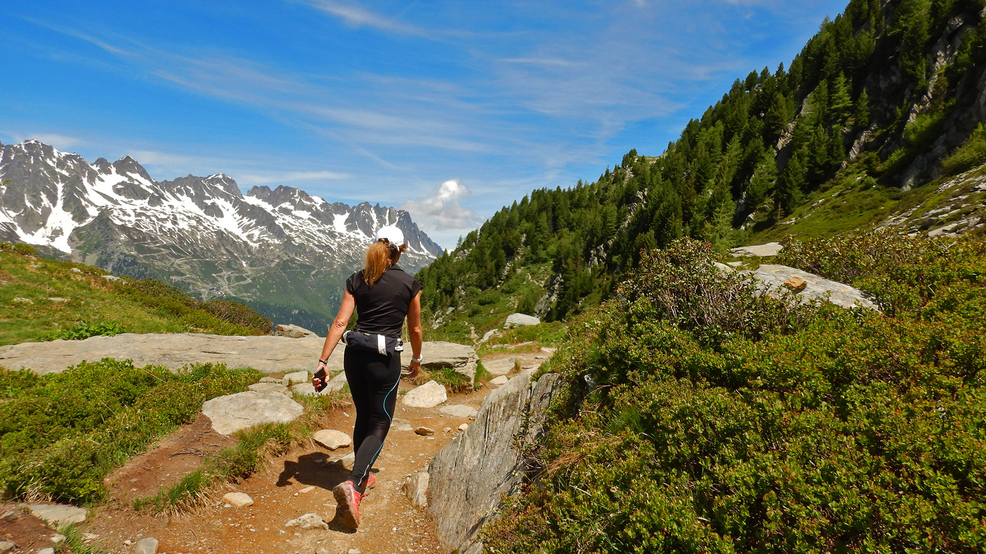
We start the route from the Parking des Planards in Chamonix. And we take the path that starts from there and that takes us to the zetas that make us climb next to the Torrent de Blaitière. We have to say that from the moment we start the route until we reach the Great Balcony, there will not be any moment of rest. It will be 7 km of constant climb to exceed 1,000 meters in height.
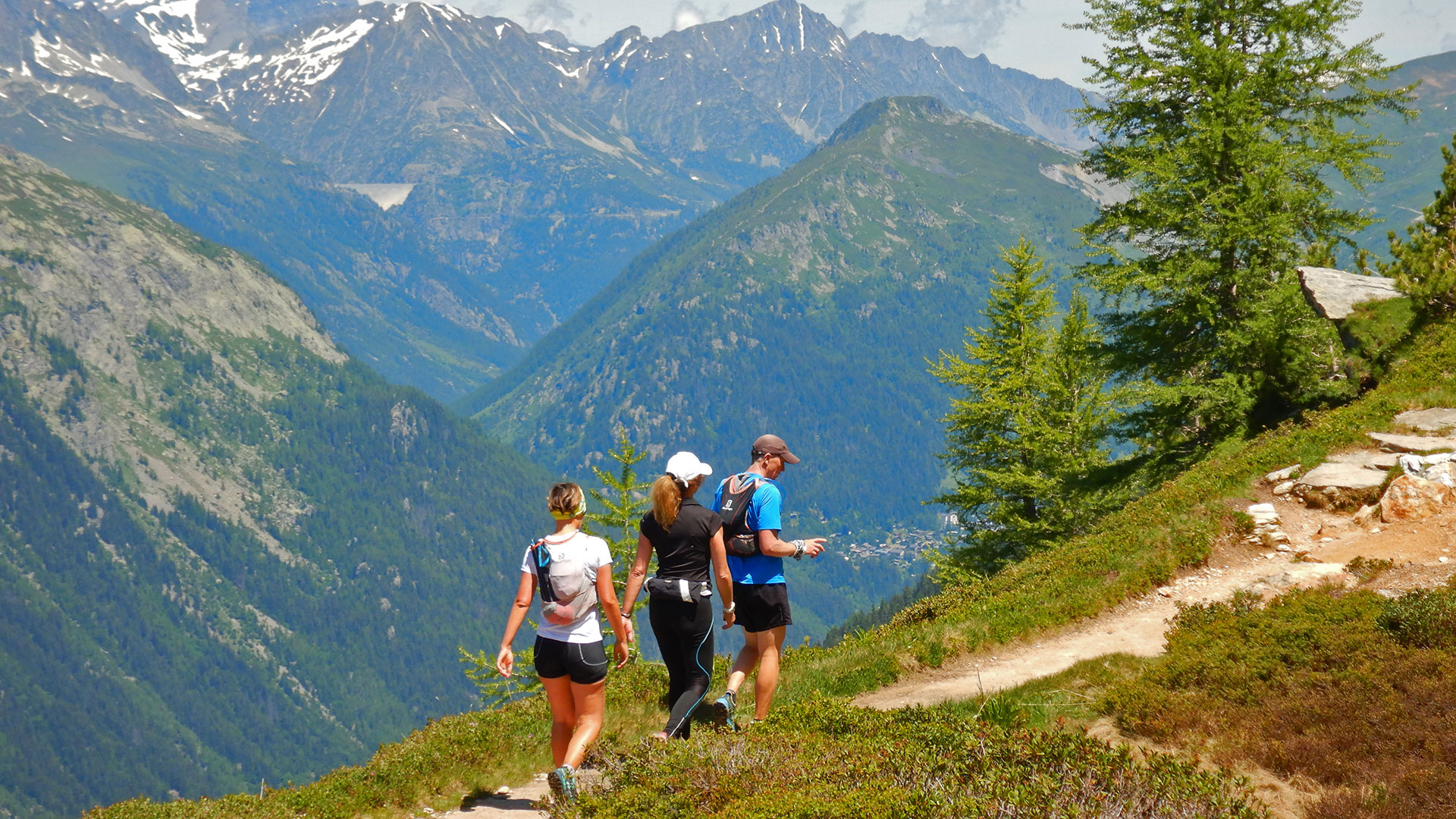
On the way up we will pass very close to the Blaitière Waterfall. The truth is that you can hear it, so you can deviate to see it. This close! We continue up and pass through the Alpage de Blaitière du Dessous. They are alpine meadows located on the Aiguille de Blaitière mountain, which dominate the valley and offer privileged views of the Aiguilles de Chamonix.
We continue our way upwards contemplating the snow-capped peaks of Mont Blanc du Tacul, Aiguille du Midi, Aiguille du Plan and Aiguille du Grépon. A beautiful alpine needles!
In the end we got to our first prize. We are on the path of the Grand Balcon Nord. It is our first resting point and a precise place for its views of the valley and the alpine spiers.
Until this moment, it can be said that we have been alone. We have only come across a few mountain runners. But upon arrival at the Grand Balcon Nord things change. It is a more adapted and used route for tourists as it connects Plan de l’Aiguille du Midi with Montenvers. And it becomes a mid-mountain promenade area at 2,000 m high, connected by the Plan de l’Aiguille cable car station and the Mer de Glace-Montenvers train.
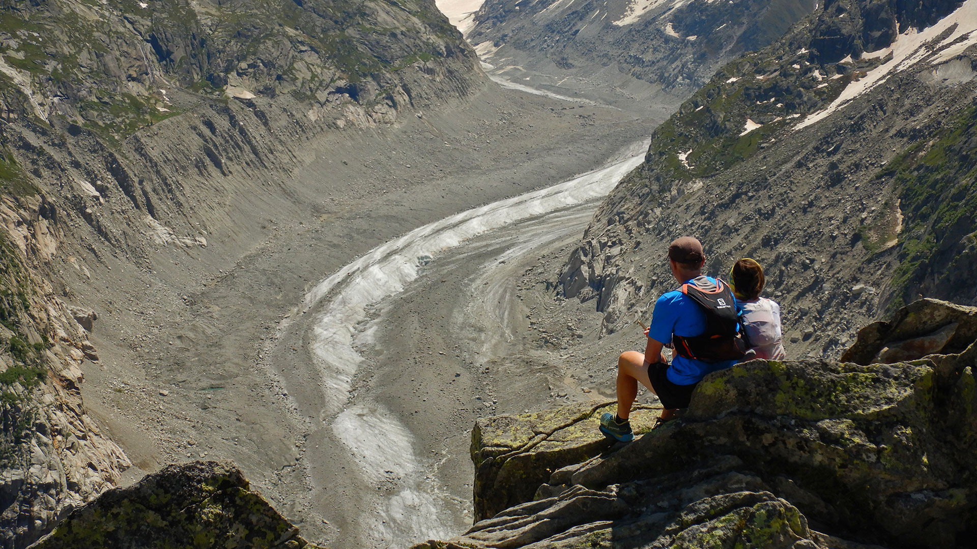
We will continue along the balcony in the direction of the Sea of Ice glacier that with a few last zetas will take us to reach the maximum height of the day. 2,200 meters above sea level at the Signal Forbes viewpoint. At this point the view completely changes. We are before the Aiguille du Dru, the Aiguille Verte, the Jorasses … and the precise Mer de Glace. A magnificent glacier that, although it has been retreating a lot. Its majesty and strength are still impressive.
After supplying and photographing everything. We continue our route through the part of the Mer de Glace, we will go down a steep path that winds through large curves until we reach Le Montenvers, the Grand Hotel – Refuge du Montenvers and the train station.
When we arrive at this complex of hotel and station. We can also see the cable car that would take us down to the glacier and its cave. Although it can also be done on foot. We decided to continue in the direction of Chamonix since this area is too touristy. We take the Chemin du Montenvers path that goes down the slope of the valley and halfway we come across the pleasant surprise of the Chalet de Caillet. On the terrace or next to the warmth of the home, it allows you to enjoy a historical place halfway between Chamonix and La Mer de Glace. Fantastic place because it is only accessible on foot.
After a rest and a beer, we follow the short path that remains to return to the Chamonix car park where we started the route.
Video
Map
Max elevation: 2199 m
Total climbing: 1417 m
Total time: 07:10:56

