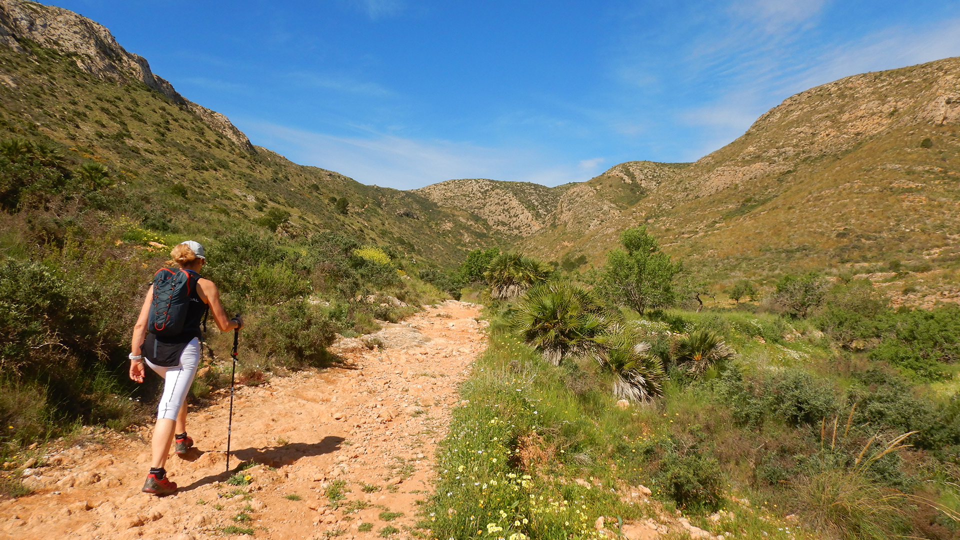
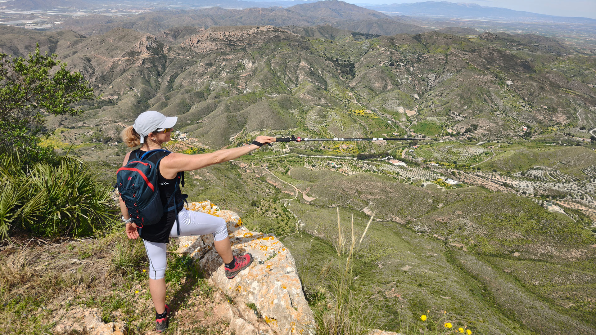
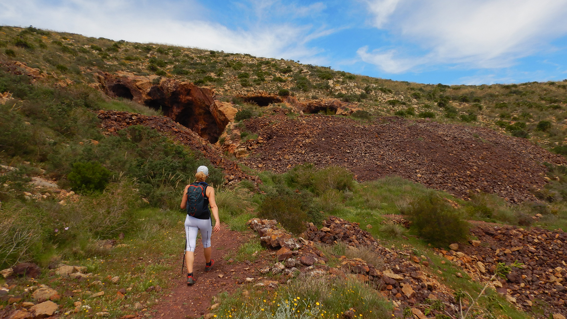
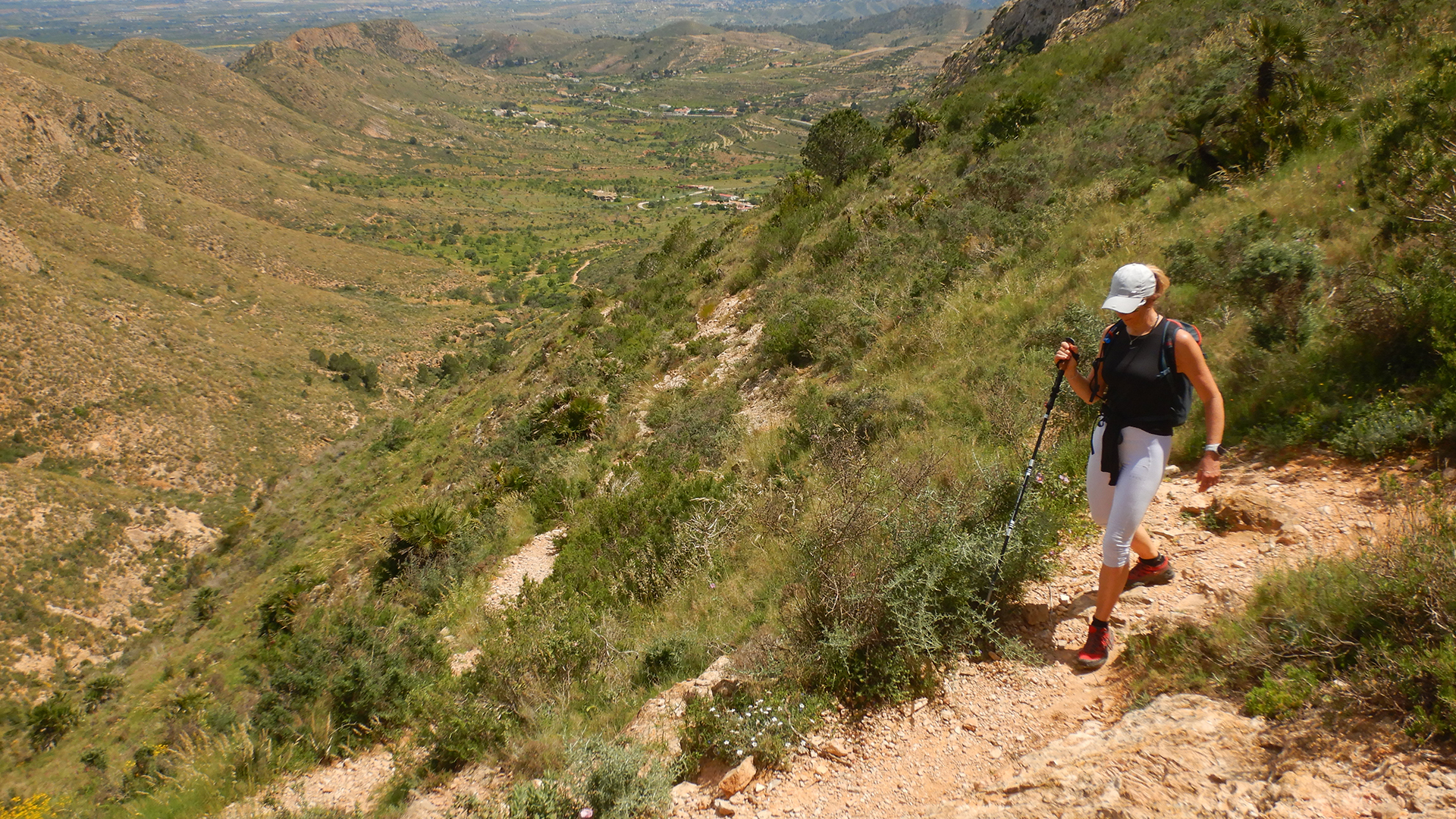
We begin our route at the starting point of the PR-MU 133 Peñas Blancas Trail, located next to the parking area of a former restaurant at the base of the Cuestas del Cedacero. From there, we quickly start ascending through the Barranco de la Víbora.
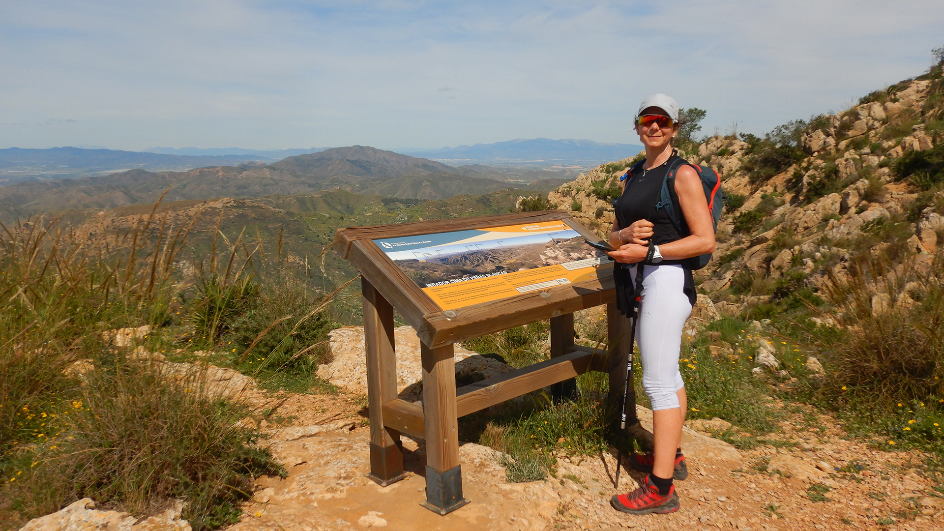
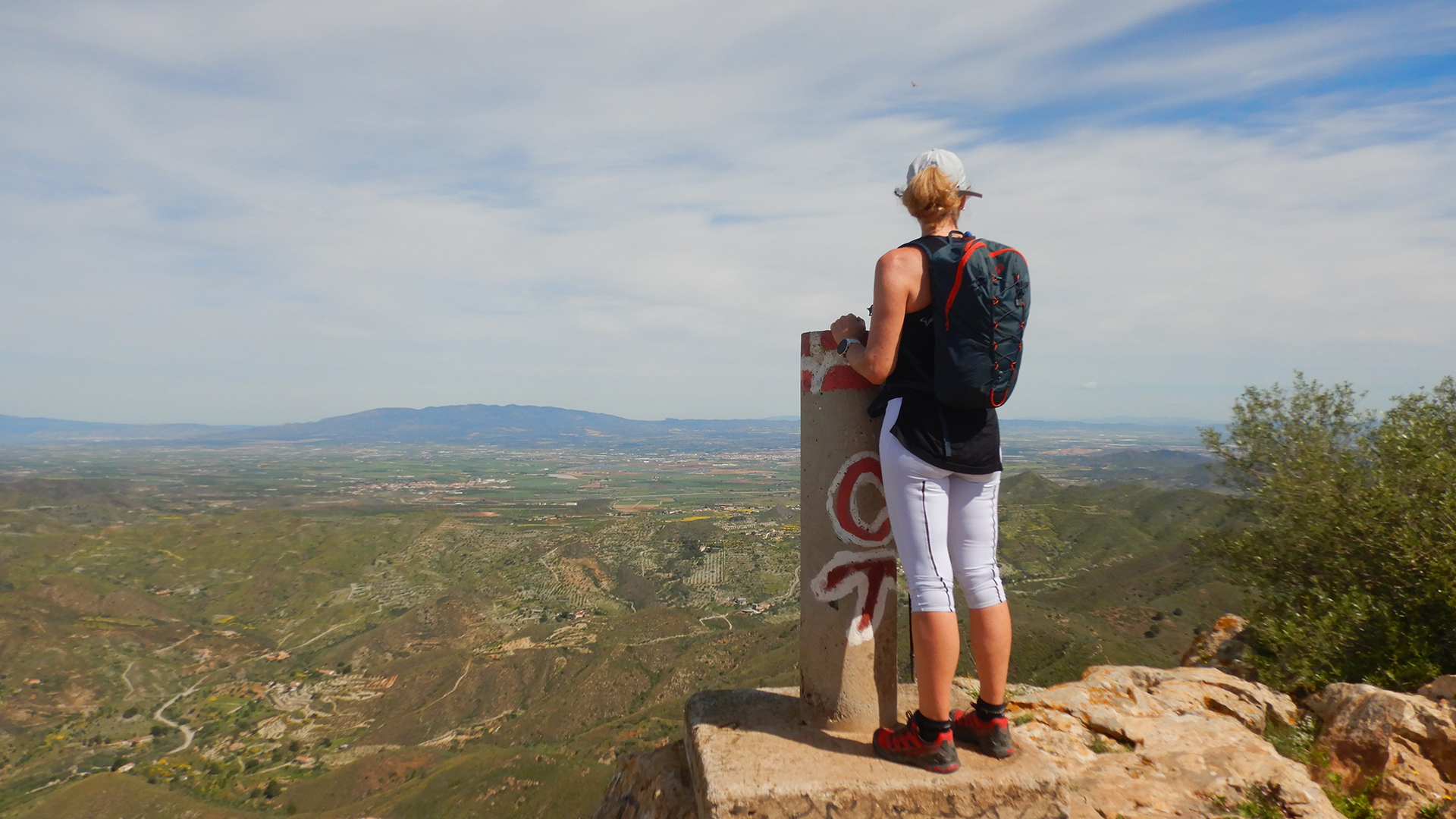
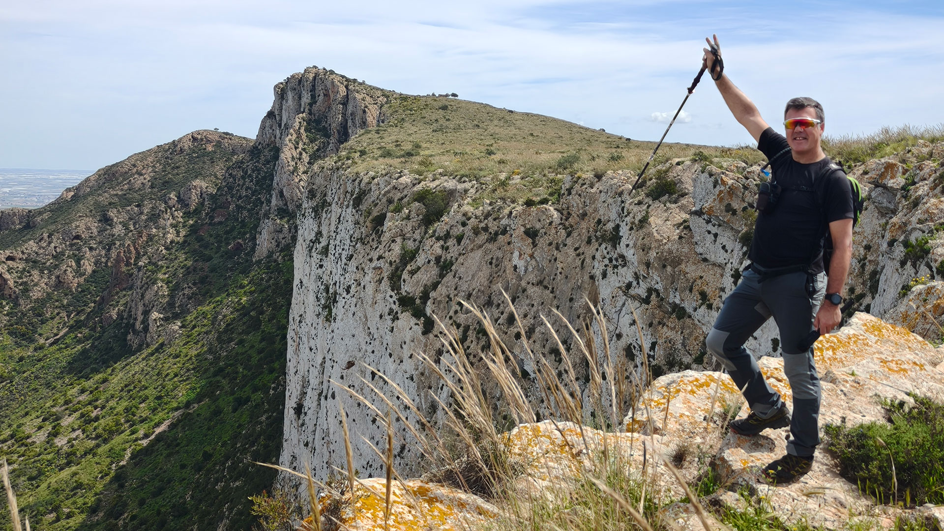
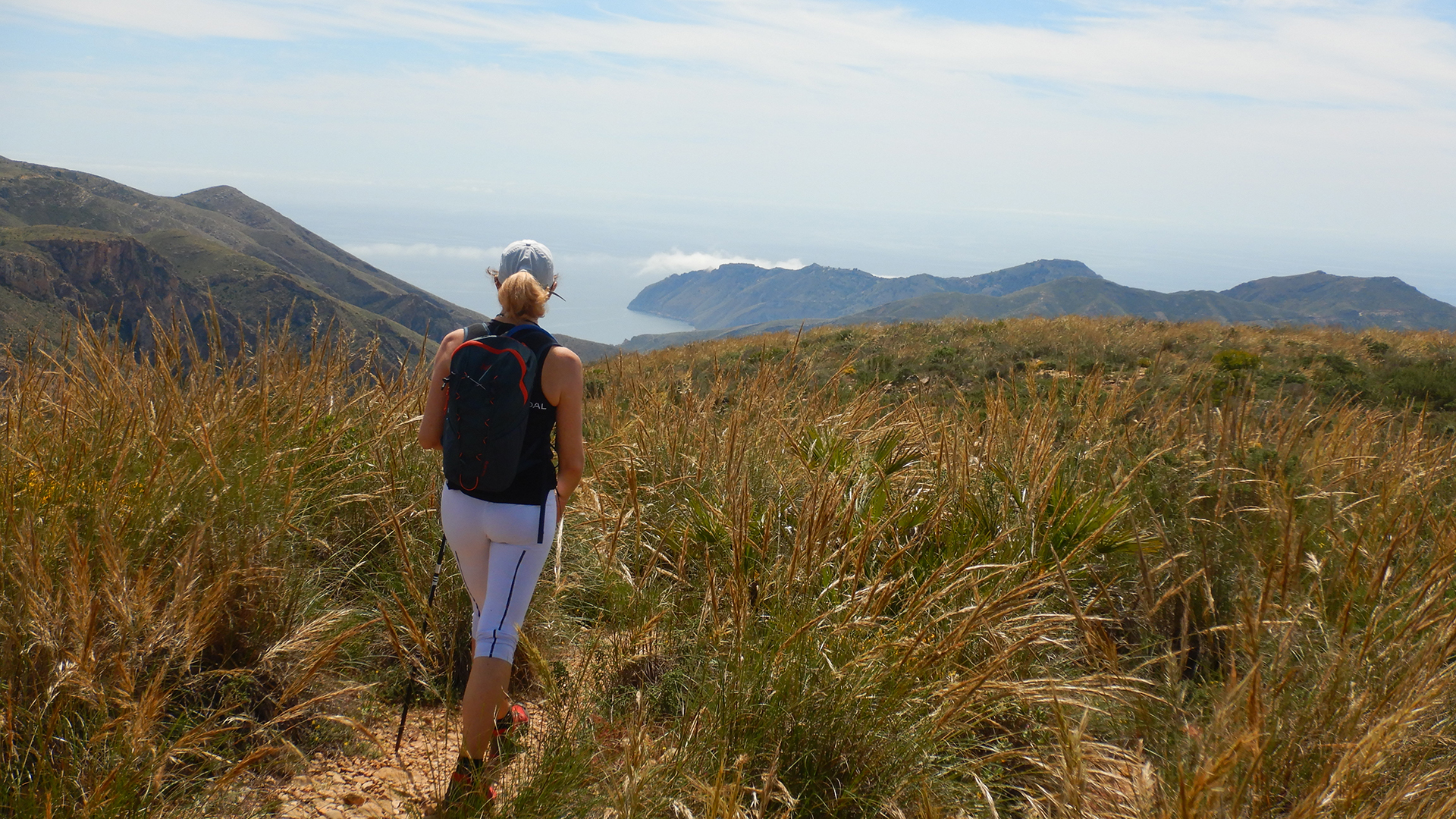
The steady climb leads us to the Peñas Blancas Refuge at 605 meters above sea level. Here, a viewpoint offers a panoramic view of the Gulf of Mazarrón. Continuing on, we reach the summit of Peñas Blancas at an altitude of 625 meters, notable for its steep northern face.
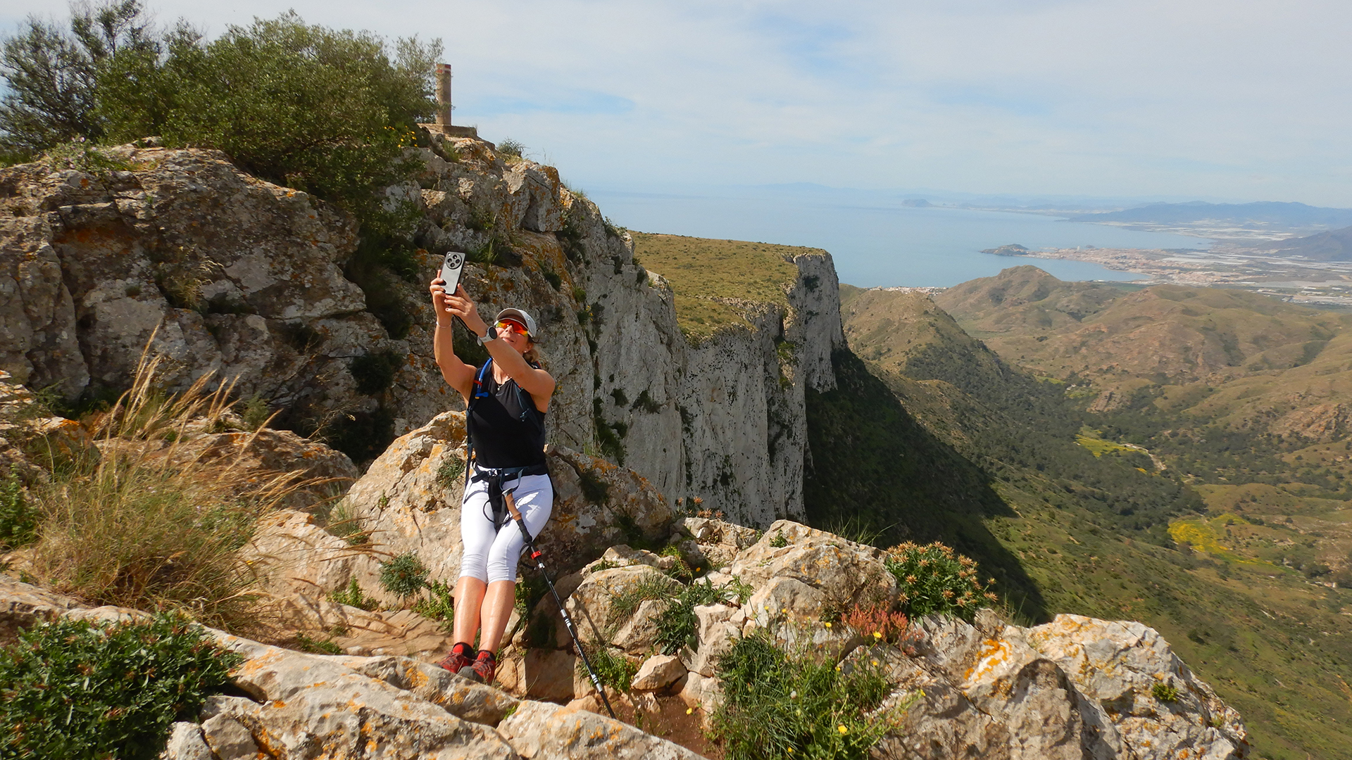
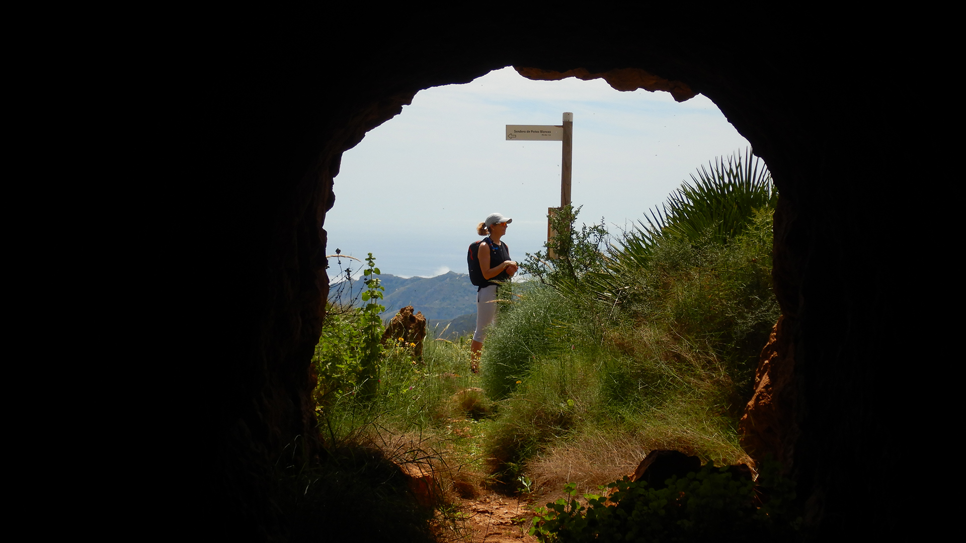
We follow the entire length of the cliff, observing remnants of climbing routes and rappels of 50 to 60 meters. Upon reaching the end, we return via the opposite side of the Lomas de Carrascas. Along the way, we pass by the mines on the upper plateau of the Peñas Blancas mountain range, including Rincón de Morales and Colón. We give special mention to the Mina de Colón bef
Video
Map
Max elevation: 621 m
Total climbing: 490 m
Total time: 03:33:04

