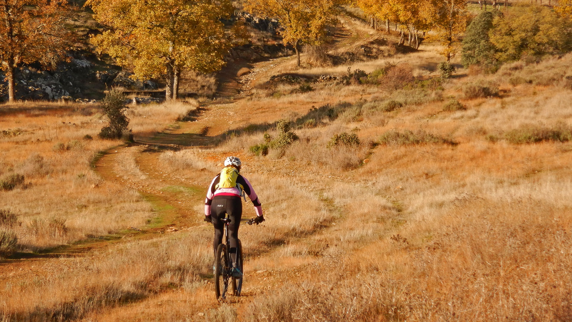
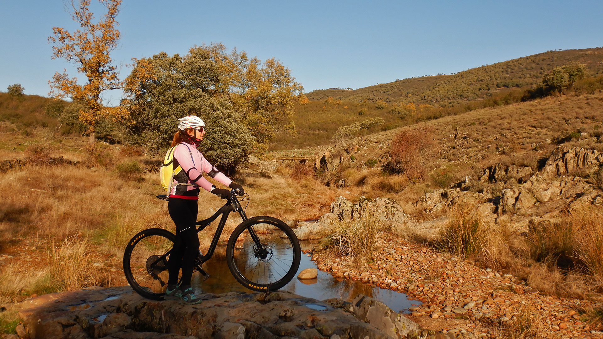
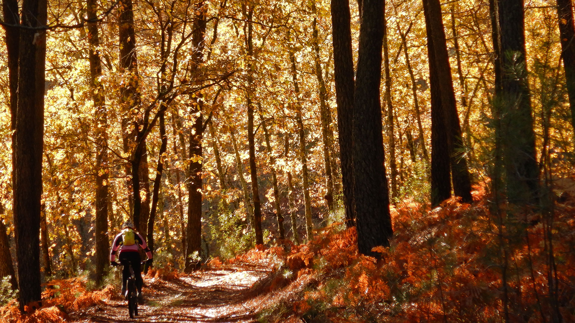
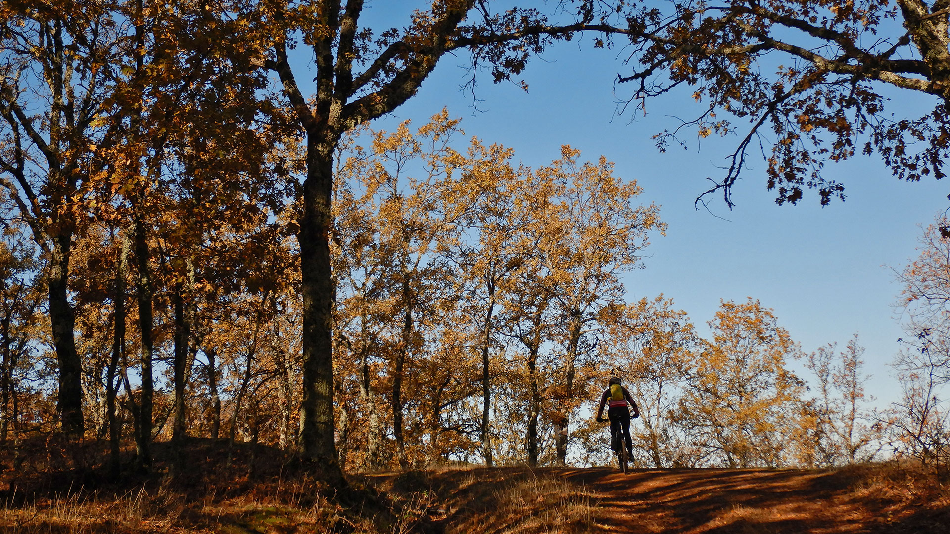
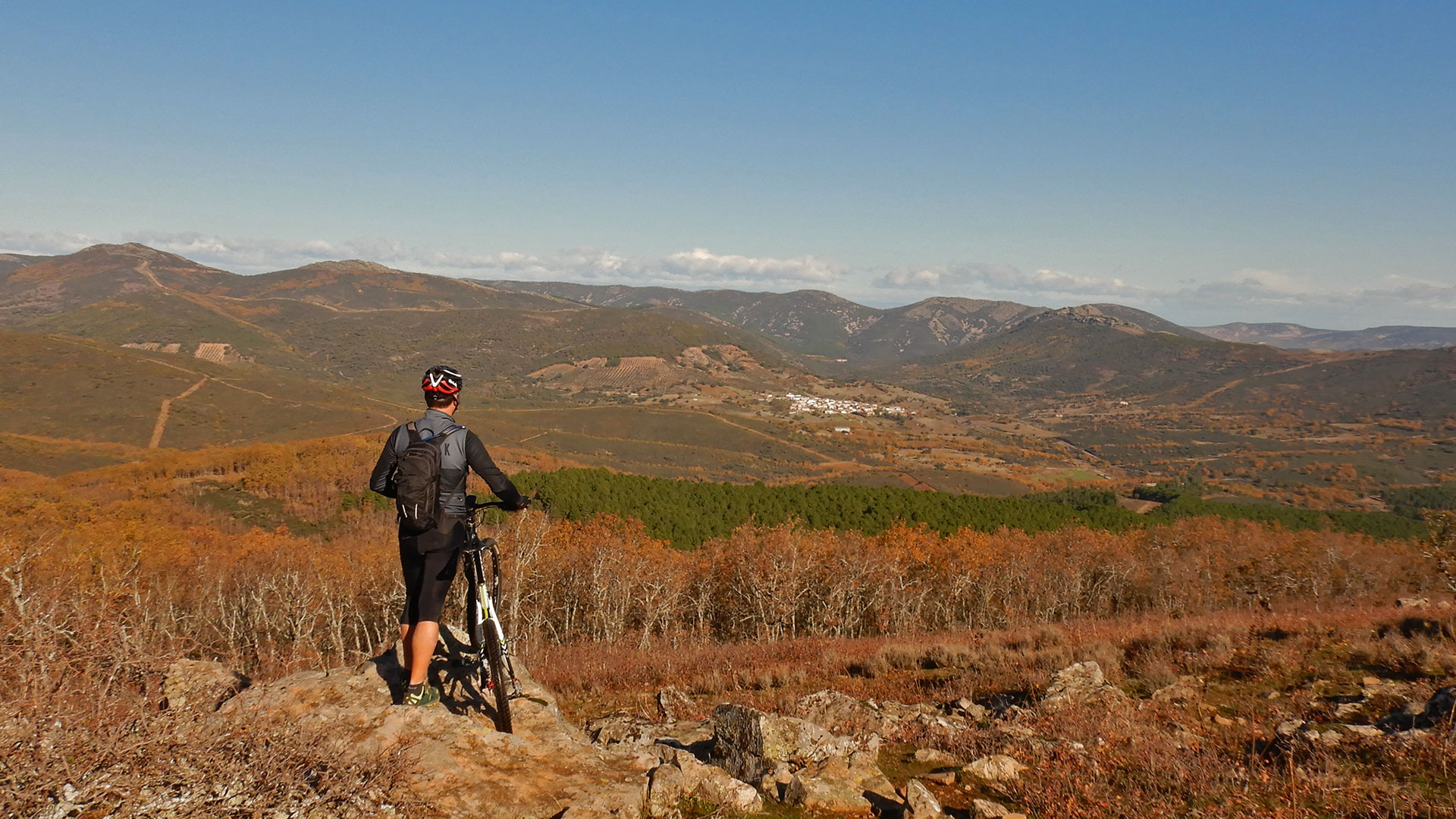
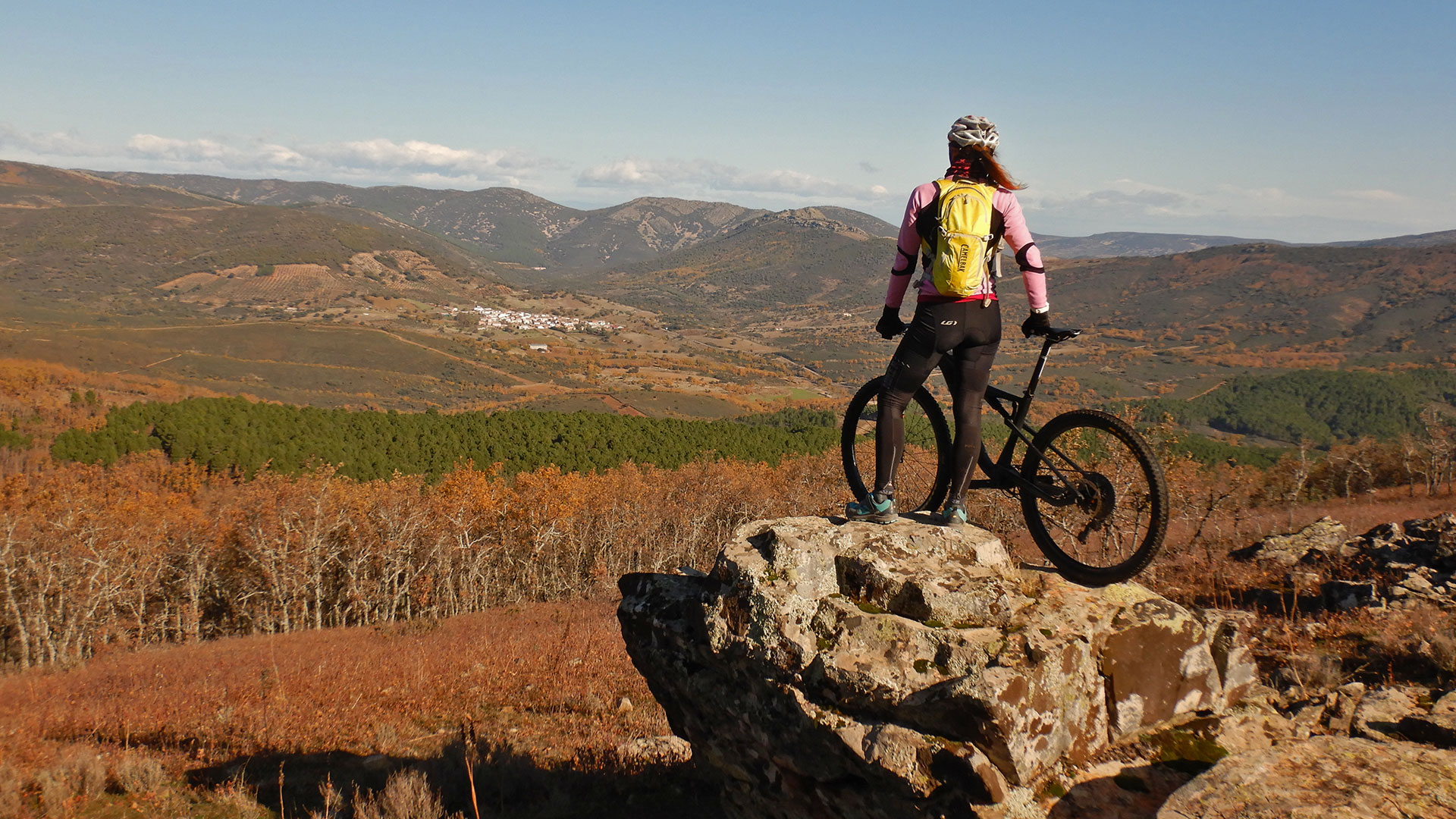
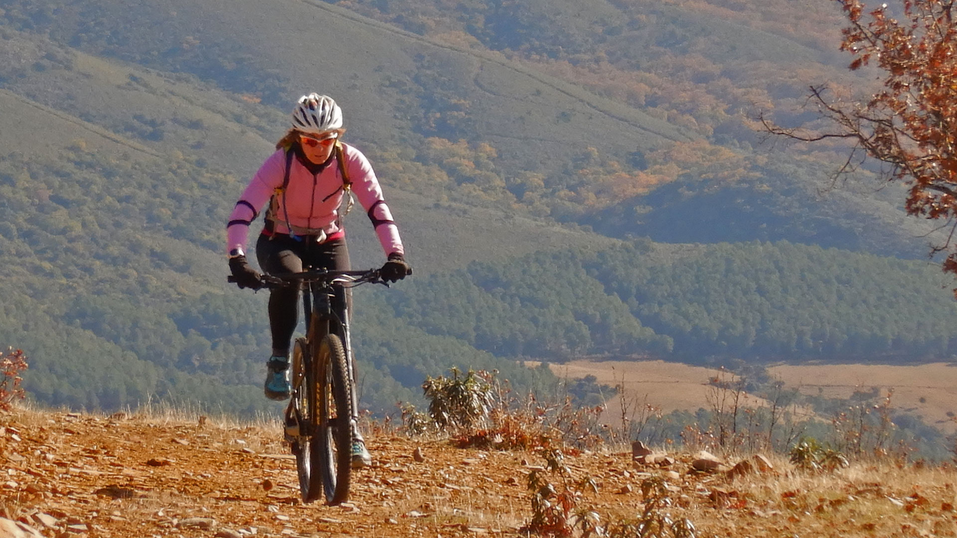
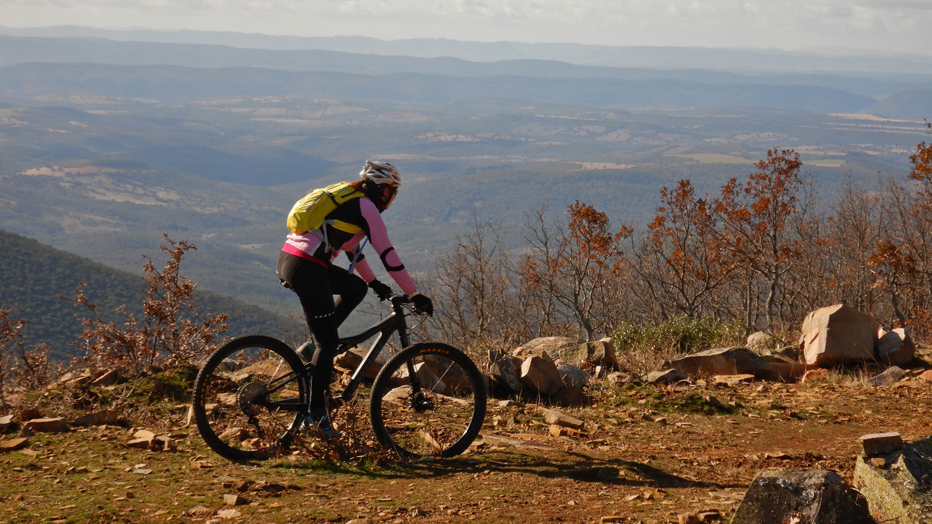
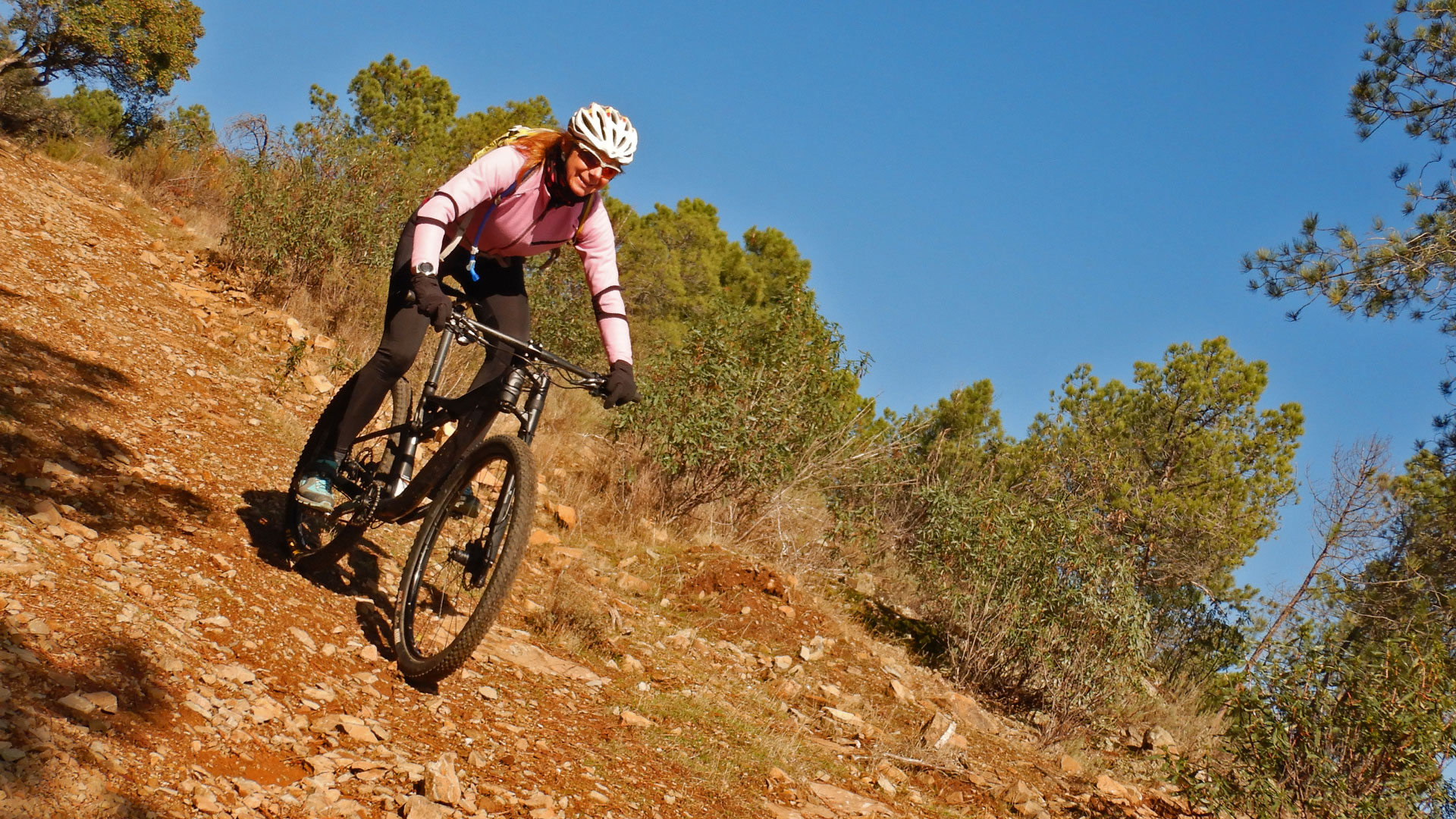
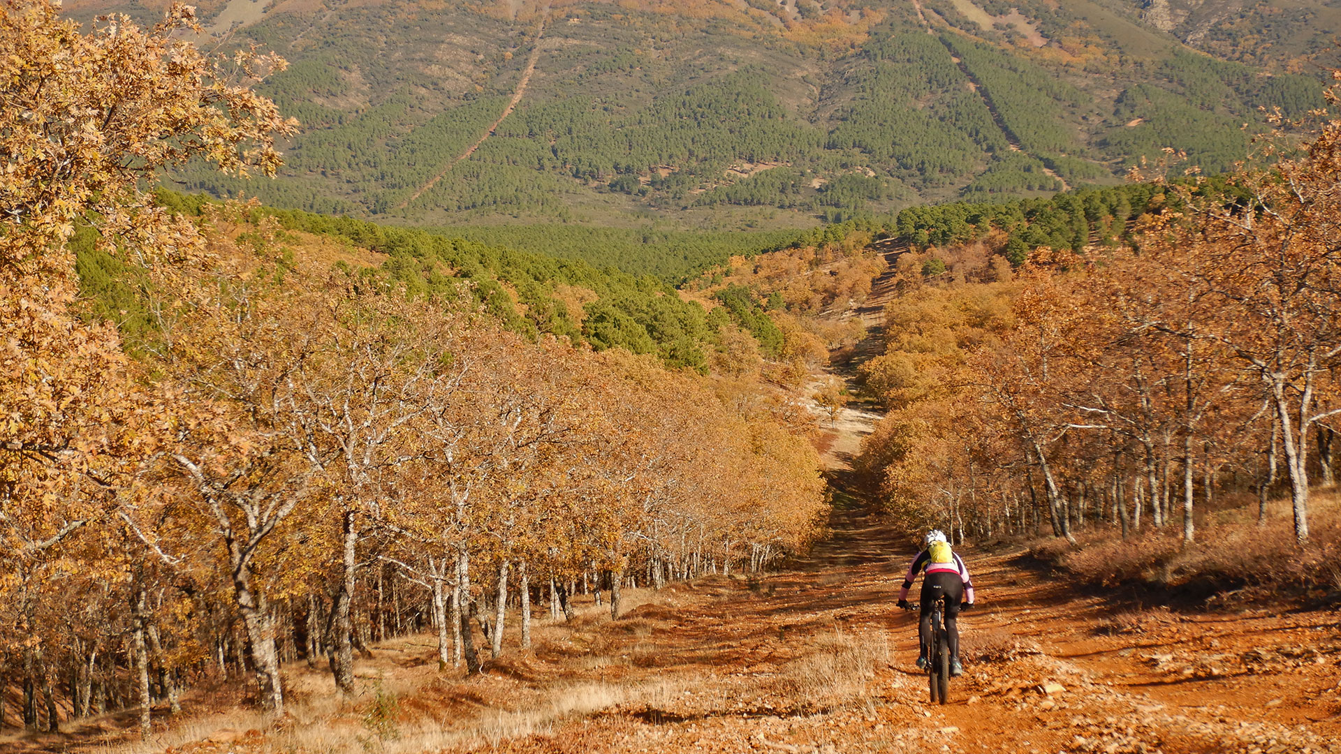
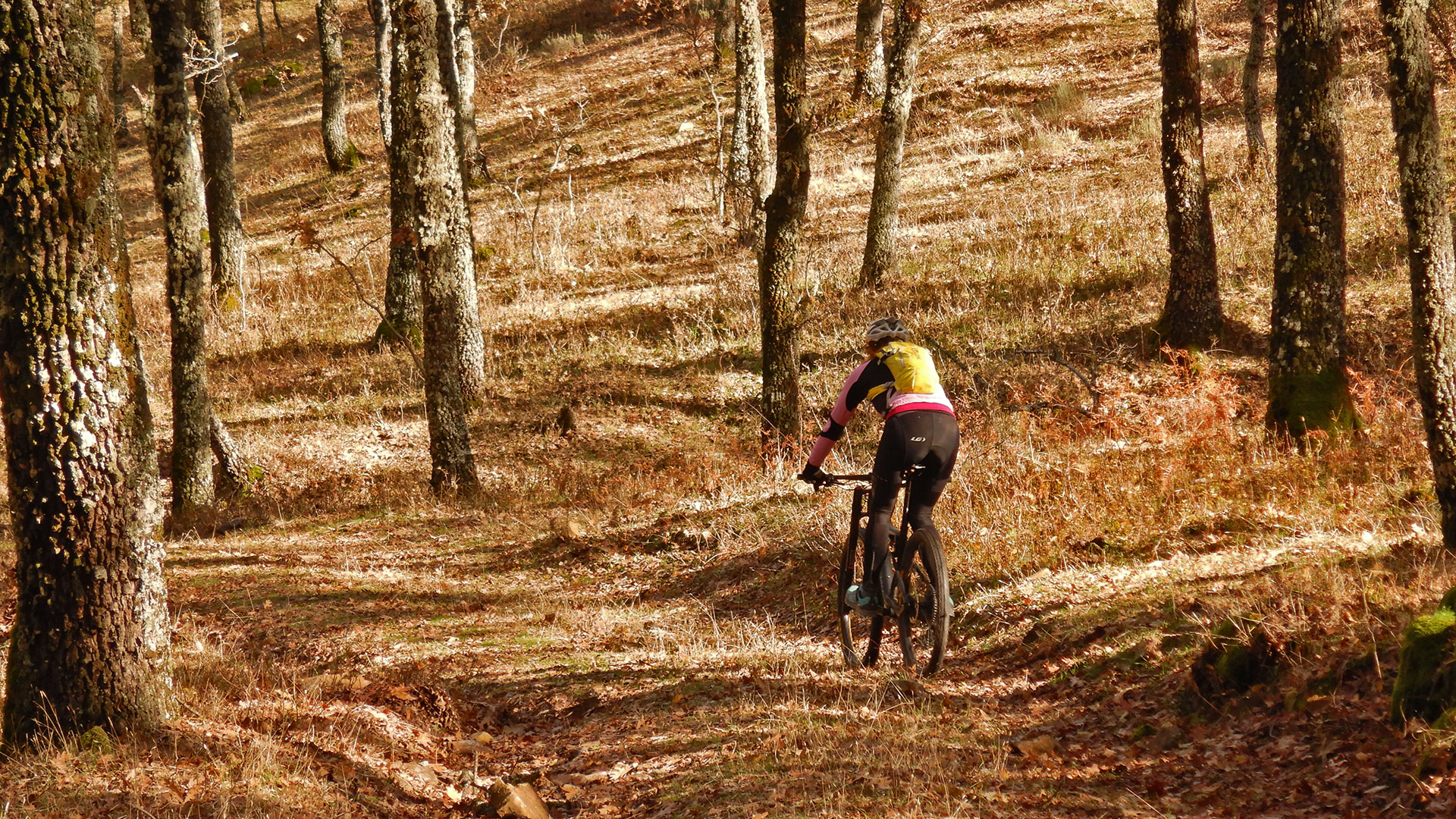
We leave from the Toledo town of Robledo del Buey in full Montes de Toledo and next to the Cabañeros National Park.
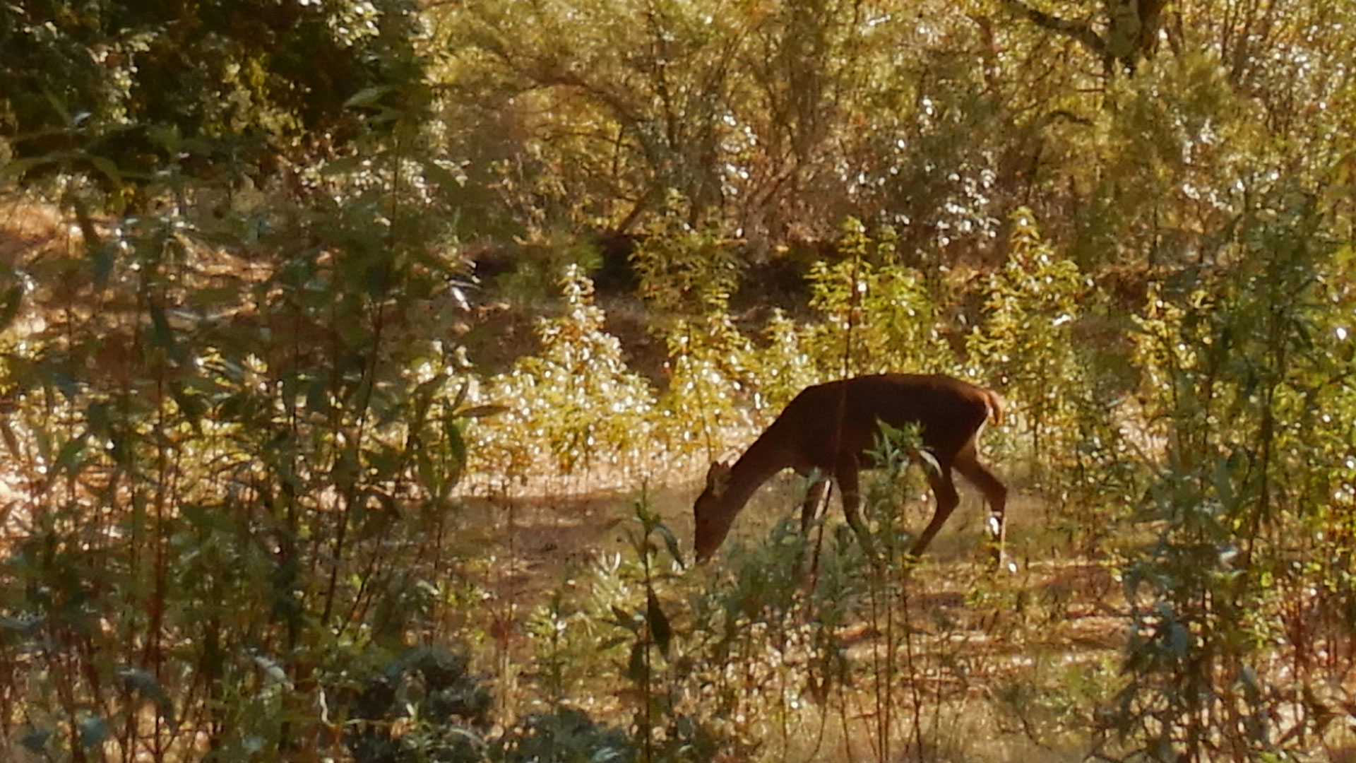
Then we cross the Pusa River and we go up to Piedra Escrita playing between paths. We cross the Arroyo del Toro and continue climbing nice tracks with some technical difficulty and strong and direct firewalls. In the end we arrive at the Pico del Viezo of 1,210 masl. Maximum height of the route. From here we can observe the extension of the Sierra and some first deer.
We continue along the Peña Blanca towards the Barranco del Acebuche. Then between descents and ascents we arrive at Los Baños of 953 meters above sea level.
We descend and observe many herds of deer. We cross the Arroyo de la Ginesta and take the trail of the Camino de los Alares to turn left and take a steep climb to the Peña Blanca hill. From where we go down the firewall, first and tracks and trails later.
We arrive at the CM_4155 road through which we circulate a few meters to leave it again towards Canto Blanco and arrive at the town of Robledo del Buey.
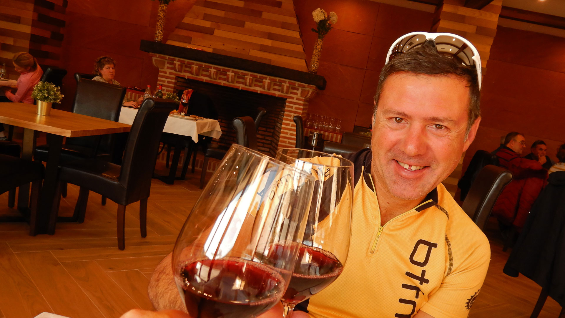
And what better way than to close the day with good meat and wine at the Casa Rural La Cabrera where we were staying.
Video
Map
Max elevation: 1584 m
Total climbing: 1394 m
Total time: 04:49:05

