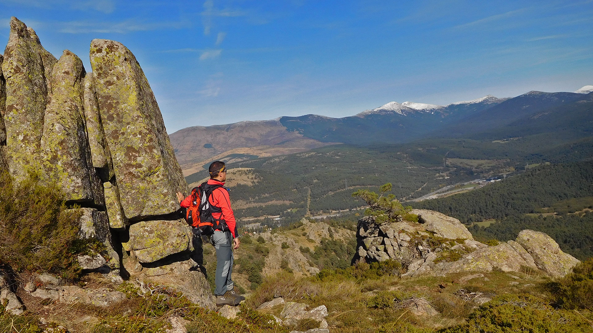
Hiking Exit from the Alto del León, also known as Puerto de Guadarrama. It is a mountain pass that was inaugurated by Ferdinand VI in 1749 and was named after the monument in the center of the road. This step was also important during the Civil War because of its strategic value. And during the route we can see enough remains of these defensive points.
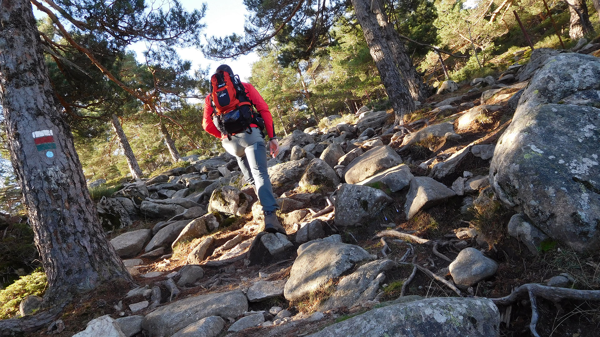
We start following the route through the GR10 in the West direction. With the first steep climb through Cerro Piñorero or the Gamonosa where we stopped to see the remains of the old armored observatory. To later go down Colca de la Gasca.
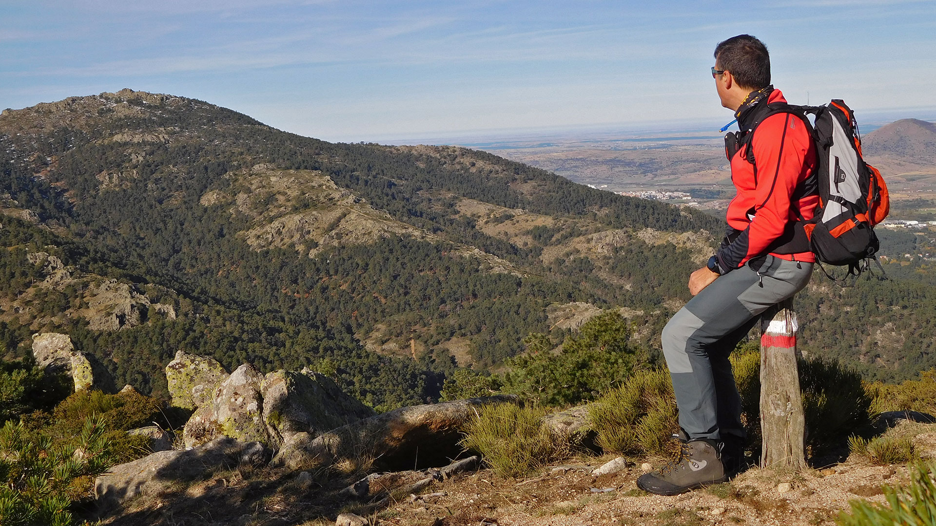
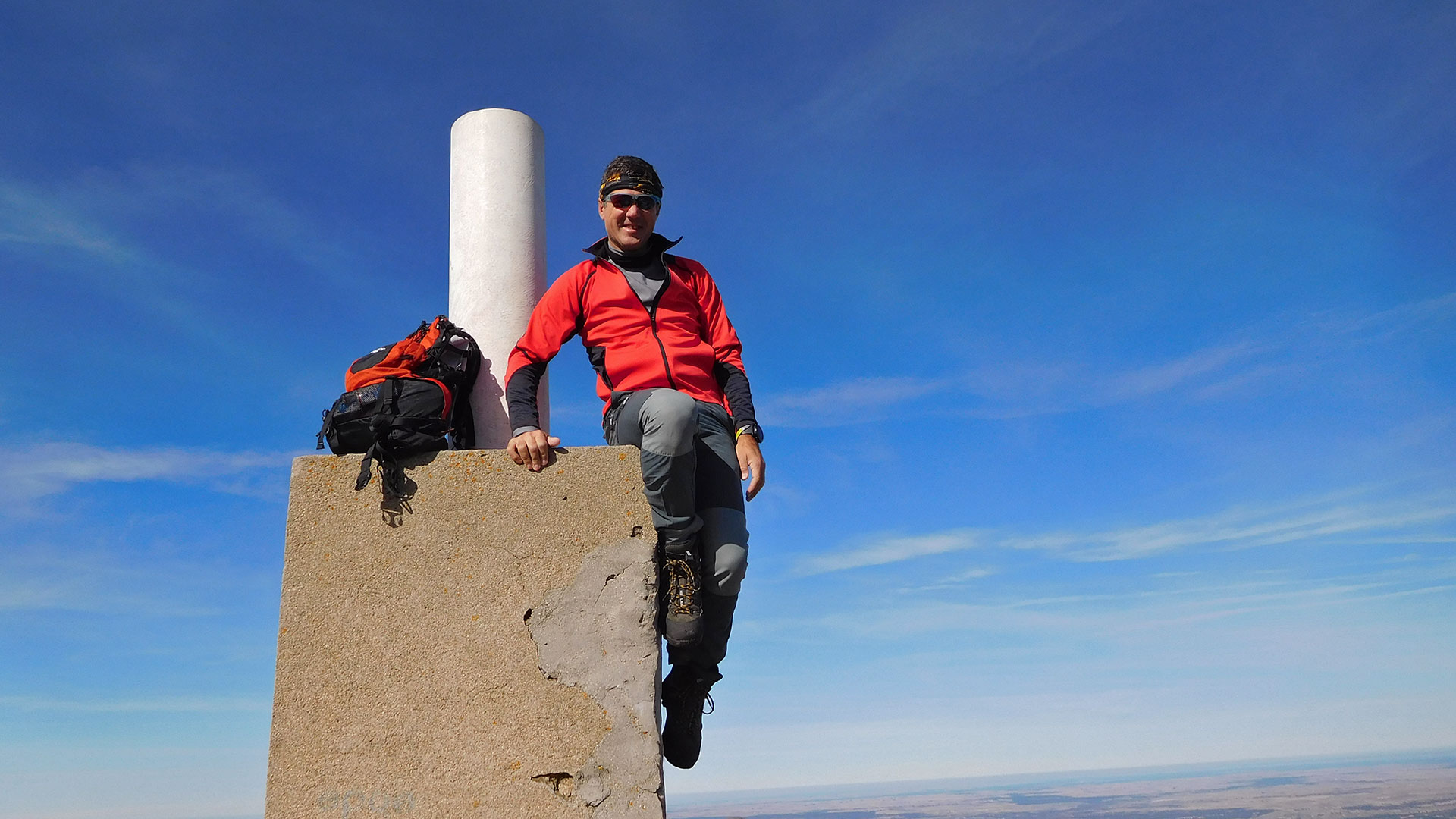
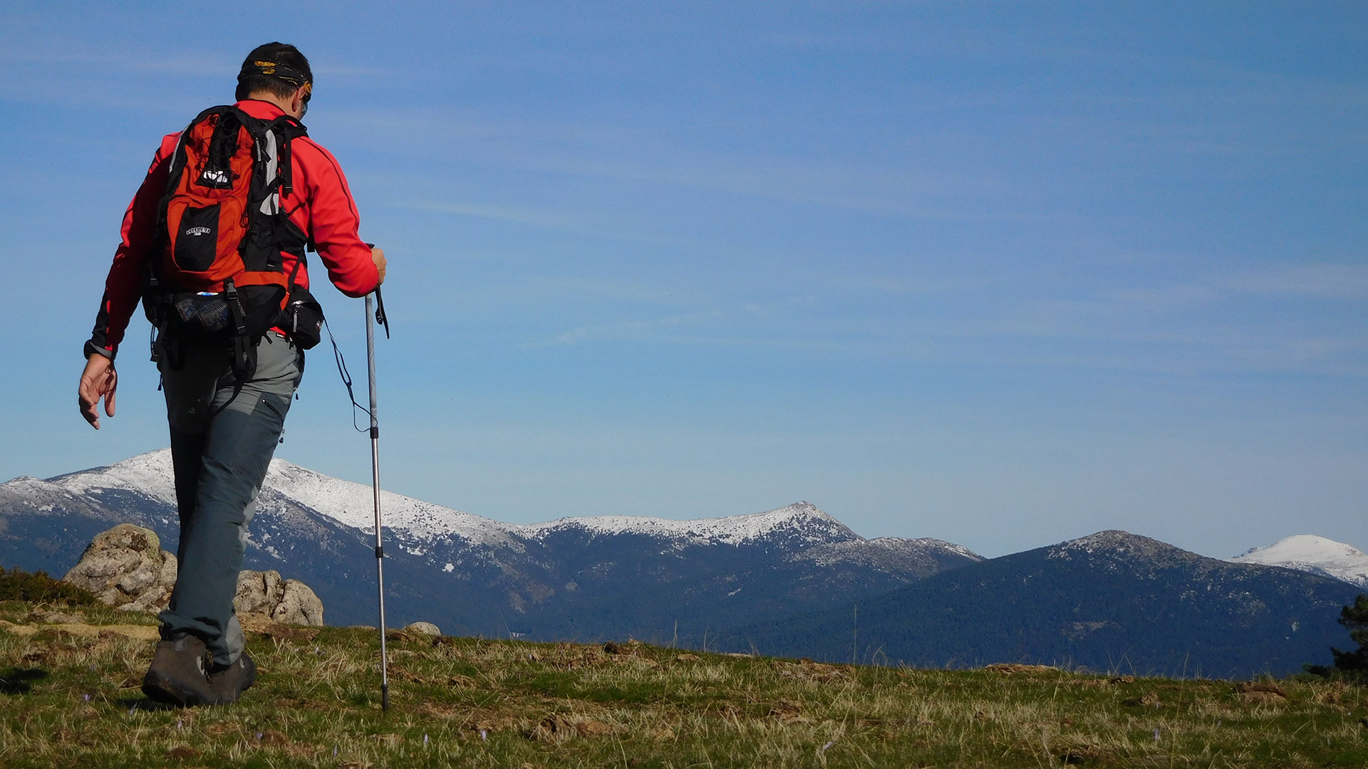
We continue by the GR10 marks with the second strong rise towards Cabeza Líjar of 1,823 m. Where you can also see the defensive remains and shelters. We continue route down to the Collado de la Cierva or de la Mina that will take us to the Refugio de la Salamanca on the hill of the same name. From this point we turn to the GR 88, leaving the GR 10, going up towards the Collado del Hornillo. We make another small summit, without a name, of 1,872 m. And we continue climbing until the maximum height of the day. The 1,903 m of Cueva Valiente. Where we can contemplate the views of the Sierra de Guadarrama with its first snowfall this winter as well as the remains of the fort.
We continue with a strong descent and by the Sierra del Malagón, where we deviate to see a large natural cave that gives its name to the top of Cueva Valiente.
Afterwards we continue to descend strongly through a quarry to reach Cabeza del Buey at 1,537 m. And we continue to descend strongly until we cross a stream and start a climb. First gently parallel to the GR 88 and that we left after to attack the last strong 200 m rise without rest by a quarry and that takes us back to the Collado de la Mina.
From now on. Everything is easy. First by the Track of the Mine and then by the Way of the Way of the Cross. Crosses that were raised after the Civil War in memory of the men who lost their lives in the combats of this place.
Hard route made alone with long distance, significant height difference and many hours. But I totally recommend it!
Video
Map
Max elevation: 1909 m
Total climbing: 1414 m
Total time: 06:41:46

